Estimated Value: $426,498
--
Bed
--
Bath
2,010
Sq Ft
$212/Sq Ft
Est. Value
About This Home
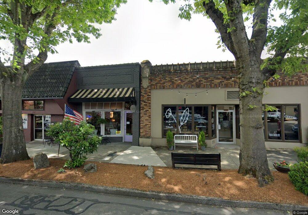
This home is located at 221 NE 4th Ave, Camas, WA 98607 and is currently estimated at $426,498, approximately $212 per square foot. 221 NE 4th Ave is a home located in Clark County with nearby schools including Helen Baller Elementary School, Liberty Middle School, and Camas High School.
Ownership History
Date
Name
Owned For
Owner Type
Purchase Details
Closed on
Mar 29, 2012
Sold by
Hoobas Hospitality Llc
Bought by
Ste Wing Investment Llc
Current Estimated Value
Purchase Details
Closed on
Jan 20, 2006
Sold by
Richards Myeong
Bought by
Hoobas Hospitality Llc
Purchase Details
Closed on
Apr 18, 2003
Sold by
Richards Robert C and Richards Myeong
Bought by
Richards Robert C and Richards Myeong
Purchase Details
Closed on
Jun 1, 2001
Sold by
Richards Robert C
Bought by
Richards Robert C and Richards Myeong
Create a Home Valuation Report for This Property
The Home Valuation Report is an in-depth analysis detailing your home's value as well as a comparison with similar homes in the area
Home Values in the Area
Average Home Value in this Area
Purchase History
| Date | Buyer | Sale Price | Title Company |
|---|---|---|---|
| Ste Wing Investment Llc | $140,000 | First American Title | |
| Hoobas Hospitality Llc | $200,000 | Stewart Title | |
| Richards Robert C | -- | -- | |
| Richards Robert C | -- | Clark County Title Company |
Source: Public Records
Tax History Compared to Growth
Tax History
| Year | Tax Paid | Tax Assessment Tax Assessment Total Assessment is a certain percentage of the fair market value that is determined by local assessors to be the total taxable value of land and additions on the property. | Land | Improvement |
|---|---|---|---|---|
| 2025 | $2,441 | $255,500 | $70,875 | $184,625 |
| 2024 | $2,272 | $255,500 | $44,829 | $210,671 |
| 2023 | $2,077 | $222,200 | $38,982 | $183,218 |
| 2022 | $2,258 | $222,200 | $38,982 | $183,218 |
| 2021 | $1,815 | $202,000 | $35,438 | $166,562 |
| 2020 | $1,956 | $150,500 | $28,125 | $122,375 |
| 2019 | $1,836 | $150,500 | $28,125 | $122,375 |
| 2018 | $2,184 | $150,500 | $0 | $0 |
| 2017 | $1,835 | $150,500 | $0 | $0 |
| 2016 | $1,844 | $137,700 | $0 | $0 |
| 2015 | $1,956 | $137,700 | $0 | $0 |
| 2014 | -- | $137,700 | $0 | $0 |
| 2013 | -- | $137,700 | $0 | $0 |
Source: Public Records
Map
Nearby Homes
- 632 NE Everett St
- 136 NE Garfield St
- 1303 Division St
- 924 NE 3rd Ave
- 536 NW 10th Ave
- 615 NW 7th Ave
- 1623 Division St
- 912 NW Fargo St
- 124 NW 18th Ave
- 441 NW 15th Ave
- 715 NW 10th Ave
- 504 NW Fargo St
- 634 NW 5th Ave
- 907 NW Greeley St
- 761 SE Polk St
- 2052 NW Fargo Loop
- 659 SE Russell St
- 2120 NW Fargo Loop
- 737 NW 20th Ave
- 2149 NW Fargo Loop
- 225 NE 4th Ave
- 217 NE 4th Ave
- 212 NE 4th Ave
- 305 NE 4th Ave
- 311 NE 4th Ave
- 302 NE 4th Ave
- 321 NE 4th Ave
- 217 NE 3rd Ave
- 207 NE 3rd Ave
- 419 NE Cedar St
- 203 NE Birch St
- 421 NE Cedar St
- 325 NE Cedar St
- 317 NE Cedar St
- 405 NE 4th Ave
- 314 NE Cedar St Unit A/Up
- 316 NE Cedar St
- 412 NE 4th Ave
- 530 NE Cedar St
- 608 NE Birch St