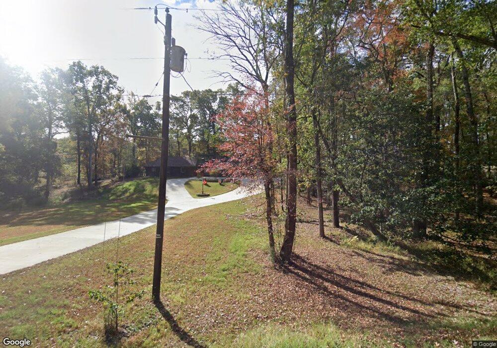
221 Peach Tree Rd West Monroe, LA 71291
Estimated Value: $235,000 - $292,000
3
Beds
2
Baths
1,804
Sq Ft
$144/Sq Ft
Est. Value
About This Home
This home is located at 221 Peach Tree Rd, West Monroe, LA 71291 and is currently estimated at $259,781, approximately $144 per square foot. 221 Peach Tree Rd is a home located in Ouachita Parish with nearby schools including Drew Elementary School and West Monroe High School.
Ownership History
Date
Name
Owned For
Owner Type
Purchase Details
Closed on
Feb 7, 2008
Sold by
Westerburg Ben Louis and Westerburg Angela Lay
Bought by
Phillips Aaron Patrick
Current Estimated Value
Home Financials for this Owner
Home Financials are based on the most recent Mortgage that was taken out on this home.
Original Mortgage
$107,722
Outstanding Balance
$67,984
Interest Rate
6.07%
Mortgage Type
New Conventional
Estimated Equity
$191,797
Create a Home Valuation Report for This Property
The Home Valuation Report is an in-depth analysis detailing your home's value as well as a comparison with similar homes in the area
Home Values in the Area
Average Home Value in this Area
Purchase History
| Date | Buyer | Sale Price | Title Company |
|---|---|---|---|
| Phillips Aaron Patrick | $134,653 | None Available |
Source: Public Records
Mortgage History
| Date | Status | Borrower | Loan Amount |
|---|---|---|---|
| Open | Phillips Aaron Patrick | $107,722 |
Source: Public Records
Tax History Compared to Growth
Tax History
| Year | Tax Paid | Tax Assessment Tax Assessment Total Assessment is a certain percentage of the fair market value that is determined by local assessors to be the total taxable value of land and additions on the property. | Land | Improvement |
|---|---|---|---|---|
| 2024 | $1,369 | $22,379 | $4,283 | $18,096 |
| 2023 | $1,369 | $19,353 | $4,283 | $15,070 |
| 2022 | $1,717 | $19,353 | $4,283 | $15,070 |
| 2021 | $1,738 | $19,353 | $4,283 | $15,070 |
| 2020 | $1,738 | $19,353 | $4,283 | $15,070 |
| 2019 | $1,601 | $17,872 | $3,444 | $14,428 |
| 2018 | $929 | $17,872 | $3,444 | $14,428 |
| 2017 | $1,601 | $17,872 | $3,444 | $14,428 |
| 2016 | $1,600 | $14,543 | $3,000 | $11,543 |
| 2015 | $629 | $14,543 | $3,000 | $11,543 |
| 2014 | $629 | $14,543 | $3,000 | $11,543 |
| 2013 | $627 | $14,543 | $3,000 | $11,543 |
Source: Public Records
Map
Nearby Homes
- 110 Fox Run Unit 110 Fox run
- 865 Johnson Rd
- 127 Henry Rd
- 107 Sioux Dr
- 100 Aspen Cir
- 0 Bonnabel Place
- 107 Bonnabel Place
- 109 A Canyon Rd
- 149 Comanche Trail
- 150 Ingram Rd
- 830 Ole Highway 15
- 3242 Arkansas Rd
- 163 Lost Landing Rd
- 0 Canyon Rd
- 1119 Comanche Trail
- 108 Comanche Trail
- 506 Lost Lakes Point
- 500 Lost Lakes Bend
- 118 Country Estates Dr
- 106 Brooks Ln
- 227 Peach Tree Rd
- 211 Peach Tree Rd
- 220 Peach Tree Rd
- 210 Peach Tree Rd
- 230 Peach Tree Rd
- 241 Peach Tree Rd
- 231 Peach Ridge Dr
- 123 Peach Tree Rd
- 125 Peach Tree Rd
- 118 Peach Tree Rd
- 240 Peach Tree Rd
- 235 Peach Ridge Dr
- 225 Peach Ridge Dr
- 245 Peach Ridge Dr
- 247 Peach Tree Rd
- 121 Peach Tree Rd
- 221 Peach Ridge Dr
- 255 Peach Ridge Dr
- 234 Peach Ridge Dr
- 119 Peach Tree Rd