221 Pummy Rd Ochlocknee, GA 31773
Estimated Value: $239,806 - $455,000
Studio
1
Bath
1,792
Sq Ft
$185/Sq Ft
Est. Value
About This Home
This home is located at 221 Pummy Rd, Ochlocknee, GA 31773 and is currently estimated at $331,935, approximately $185 per square foot. 221 Pummy Rd is a home located in Thomas County with nearby schools including Hand in Hand Primary School, Cross Creek Elementary School, and Garrison-Pilcher Elementary School.
Ownership History
Date
Name
Owned For
Owner Type
Purchase Details
Closed on
Dec 28, 2021
Sold by
Avera Charles Terry
Bought by
Avera Troy G
Current Estimated Value
Home Financials for this Owner
Home Financials are based on the most recent Mortgage that was taken out on this home.
Original Mortgage
$220,000
Outstanding Balance
$186,036
Interest Rate
3.05%
Mortgage Type
New Conventional
Estimated Equity
$145,899
Purchase Details
Closed on
Feb 9, 2006
Sold by
Avera Troy
Bought by
Avera Margaret
Purchase Details
Closed on
Apr 23, 1999
Sold by
Odom R Carl
Bought by
Avera Troy G
Purchase Details
Closed on
Feb 21, 1992
Bought by
Odom R Carl
Create a Home Valuation Report for This Property
The Home Valuation Report is an in-depth analysis detailing your home's value as well as a comparison with similar homes in the area
Purchase History
| Date | Buyer | Sale Price | Title Company |
|---|---|---|---|
| Avera Troy G | $183,333 | -- | |
| Avera Troy G | $183,333 | -- | |
| Avera Margaret | -- | -- | |
| Avera Troy G | -- | -- | |
| Avera Troy G | $225,300 | -- | |
| Odom R Carl | $156,000 | -- |
Source: Public Records
Mortgage History
| Date | Status | Borrower | Loan Amount |
|---|---|---|---|
| Open | Avera Troy G | $220,000 |
Source: Public Records
Tax History
| Year | Tax Paid | Tax Assessment Tax Assessment Total Assessment is a certain percentage of the fair market value that is determined by local assessors to be the total taxable value of land and additions on the property. | Land | Improvement |
|---|---|---|---|---|
| 2024 | $3,384 | $163,990 | $116,792 | $47,198 |
| 2023 | $3,226 | $160,163 | $116,792 | $43,371 |
| 2022 | $3,444 | $154,886 | $116,792 | $38,094 |
| 2021 | $3,270 | $133,544 | $101,507 | $32,037 |
| 2020 | $3,330 | $132,627 | $101,507 | $31,120 |
| 2019 | $3,366 | $132,627 | $101,507 | $31,120 |
| 2018 | $3,422 | $132,090 | $101,507 | $30,583 |
| 2017 | $3,492 | $132,694 | $101,507 | $31,187 |
| 2016 | $3,499 | $132,027 | $101,507 | $30,520 |
| 2015 | $3,642 | $135,320 | $101,507 | $33,812 |
| 2014 | $3,514 | $129,952 | $101,507 | $28,445 |
| 2013 | -- | $132,559 | $104,114 | $28,445 |
Source: Public Records
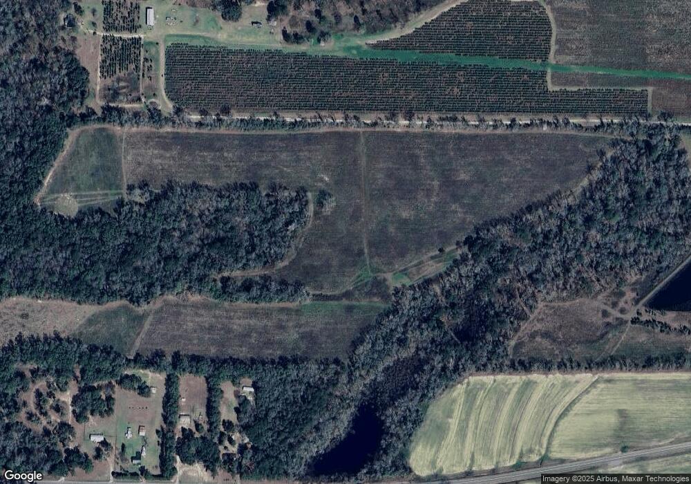
Map
Nearby Homes
- 5801 State Route 188
- 107 Mossy Creek Way
- 108 Quail Ridge St
- 105 Mossy Creek Way
- 755 Dixie Chastain Rd
- 27286 U S Highway 19
- 163 W Shore Dr
- 185 W Shore Dr
- 106 Spiral Rd
- 1101 Egg and Butter Rd N
- 250 Knoll Rd
- 27286 U S 19
- 800 Westshore Dr
- 171 Longwood Dr
- 23481 U S 19
- 00 Rupp Rd
- 137 Bradford Rd
- 475 Longwood Dr
- 8805 Georgia 202
- 3021 Church St
- 271 Pummy Rd
- 132 Ellis Ln
- 7271 Pummy Rd
- 459 Pummy Rd
- 480 Pummy Rd
- 00 Hwy 188 Collier Rd
- 7186 Ga Highway 188
- 000 Pummy Rd (76+ - Acres)
- 539 Pummy Rd
- 457 Pummy Rd
- 7186 State Route 188
- 639 Pummy Rd
- 7649 Ga Highway 188
- 683 Pummy Rd
- 176 River Forks Ln
- 132 River Forks Ln
- 74 Cc Collier Rd
- 80 River Forks Ln
- 6673 Ga Highway 188
- 821 Pummy Rd
Your Personal Tour Guide
Ask me questions while you tour the home.