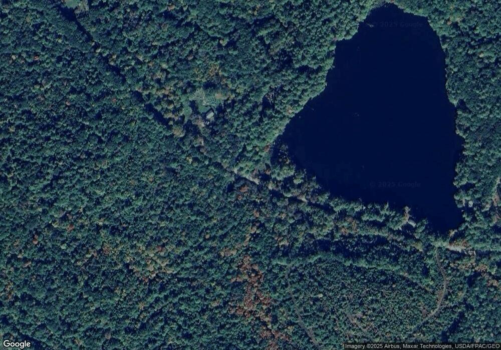
221 Randall Lake Rd Parsonsfield, ME 04047
Estimated Value: $218,928 - $349,000
3
Beds
2
Baths
1,456
Sq Ft
$184/Sq Ft
Est. Value
About This Home
This home is located at 221 Randall Lake Rd, Parsonsfield, ME 04047 and is currently estimated at $267,732, approximately $183 per square foot. 221 Randall Lake Rd is a home located in York County.
Ownership History
Date
Name
Owned For
Owner Type
Purchase Details
Closed on
Mar 29, 2024
Sold by
Rouillard Mark A and Davis Kelly A
Bought by
Ryan William
Current Estimated Value
Home Financials for this Owner
Home Financials are based on the most recent Mortgage that was taken out on this home.
Original Mortgage
$121,500
Outstanding Balance
$119,646
Interest Rate
6.77%
Mortgage Type
Purchase Money Mortgage
Estimated Equity
$148,086
Create a Home Valuation Report for This Property
The Home Valuation Report is an in-depth analysis detailing your home's value as well as a comparison with similar homes in the area
Home Values in the Area
Average Home Value in this Area
Purchase History
| Date | Buyer | Sale Price | Title Company |
|---|---|---|---|
| Ryan William | $121,500 | None Available | |
| Ryan William | $121,500 | None Available |
Source: Public Records
Mortgage History
| Date | Status | Borrower | Loan Amount |
|---|---|---|---|
| Open | Ryan William | $121,500 | |
| Closed | Ryan William | $121,500 |
Source: Public Records
Tax History Compared to Growth
Tax History
| Year | Tax Paid | Tax Assessment Tax Assessment Total Assessment is a certain percentage of the fair market value that is determined by local assessors to be the total taxable value of land and additions on the property. | Land | Improvement |
|---|---|---|---|---|
| 2024 | $2,742 | $163,238 | $50,500 | $112,738 |
| 2023 | $2,644 | $163,238 | $50,500 | $112,738 |
| 2022 | $2,530 | $163,238 | $50,500 | $112,738 |
| 2021 | $2,522 | $163,238 | $50,500 | $112,738 |
| 2020 | $2,473 | $163,238 | $50,500 | $112,738 |
| 2019 | $2,432 | $163,238 | $50,500 | $112,738 |
| 2017 | $0 | $163,238 | $50,500 | $112,738 |
| 2016 | $2,979 | $163,238 | $50,500 | $112,738 |
| 2015 | $2,449 | $163,238 | $50,500 | $112,738 |
| 2013 | $2,383 | $163,238 | $50,500 | $112,738 |
Source: Public Records
Map
Nearby Homes
- 424 Maplecrest Rd
- 511 South Rd
- 27 Nocturne Rd
- 178 Maplecrest Rd
- Lot 1 Moulton Hill Rd
- R13/038 Weeks Rd
- Lot #00 North Rd
- Lot# 01 North Rd
- Lot #02 North Rd
- 154 Staples Rd
- 11 Penny Ln
- 570 Maplewood Rd
- 243 Sokokis Trail N
- 761 Pendexter Rd
- 80 Kelley Ln
- 8 Pennie Ln
- 0 Stone Hill Rd
- 20 Hollyhock Farm Ln
- 48 Elm St
- 515 Range East Rd
- 211 Randall Lake Rd
- 203 Randall Lake Rd
- 193 Randall Lake Rd
- 183 Randall Lake Rd
- 12 Lake Camp
- 12 Lake Camp Rd
- 630 Maplecrest Rd
- 616 Maplecrest Rd
- 00 Randall Lake Rd
- 138 Randall Lake Rd
- 0 Randall Lake Rd
- 122 Randall Lake Rd
- 61 Randall Lake Rd
- 67 Randall Lake Rd
- LOT 4 Maplecrest Rd
- 142 Heath Brook Rd
- 138 Heath Brook Rd
- 187 Randall Lake Rd
- 1286 Middle Rd
- 0 Cross Rd
