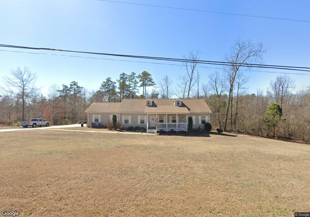
221 Rock Haven Dr Guntersville, AL 35976
Estimated Value: $258,976 - $360,000
--
Bed
--
Bath
1,870
Sq Ft
$170/Sq Ft
Est. Value
About This Home
This home is located at 221 Rock Haven Dr, Guntersville, AL 35976 and is currently estimated at $317,244, approximately $169 per square foot. 221 Rock Haven Dr is a home located in Marshall County with nearby schools including Guntersville Elementary School, Cherokee Elementary School, and Guntersville Middle School.
Ownership History
Date
Name
Owned For
Owner Type
Purchase Details
Closed on
Oct 2, 2023
Sold by
Malone Paul and Malone Christi
Bought by
Perry James Shawn and Perry Deana Frances
Current Estimated Value
Purchase Details
Closed on
Jul 19, 2022
Sold by
Brothers Paulette R
Bought by
Brothers Rebekah Kristine
Purchase Details
Closed on
Dec 9, 2013
Sold by
Brannum Ray and Brannum Jeanine
Bought by
Brothers Kenneth Wayne and Brothers Paulette R
Create a Home Valuation Report for This Property
The Home Valuation Report is an in-depth analysis detailing your home's value as well as a comparison with similar homes in the area
Home Values in the Area
Average Home Value in this Area
Purchase History
| Date | Buyer | Sale Price | Title Company |
|---|---|---|---|
| Perry James Shawn | $25,000 | None Listed On Document | |
| Perry James Shawn | $25,000 | None Listed On Document | |
| Brothers Rebekah Kristine | -- | Wilmer & Lee Pa | |
| Brothers Kenneth Wayne | $11,000 | None Available |
Source: Public Records
Tax History Compared to Growth
Tax History
| Year | Tax Paid | Tax Assessment Tax Assessment Total Assessment is a certain percentage of the fair market value that is determined by local assessors to be the total taxable value of land and additions on the property. | Land | Improvement |
|---|---|---|---|---|
| 2024 | $853 | $19,700 | $0 | $0 |
| 2023 | $794 | $18,900 | $0 | $0 |
| 2022 | $1,625 | $37,780 | $0 | $0 |
| 2021 | $582 | $18,900 | $0 | $0 |
| 2020 | $471 | $15,840 | $0 | $0 |
| 2017 | $594 | $17,000 | $0 | $0 |
| 2015 | -- | $28,160 | $0 | $0 |
| 2014 | -- | $2,080 | $0 | $0 |
Source: Public Records
Map
Nearby Homes
- lot 91 and 92 Wyeth Dr
- Lot 4 Smith St
- Lot 4 Wyeth Dr
- Lot 9 Wyeth Dr
- 40 & 41 Wyeth Dr
- Lot 13 Wyeth Dr
- LOTS 82 AND 83 Wyeth Dr
- Lot 7 Wyeth Dr
- Lot 6 Wyeth Dr
- Lot 12 Wyeth Dr
- Lot 5 Wyeth Dr
- Lot 8 Wyeth Dr
- Lot 1 Wyeth Dr
- 121.46 Acres Wyeth Dr
- Lot 3 Wyeth Dr
- Lot 10 & 11 Wyeth Dr
- 1605 Wyeth Dr
- 3.7 acres Wyeth Dr
- 1504 Mccoy St
- 3708 Perry St
- 105 Rockhaven Dr
- 5001 Wyeth Rock Rd
- 102 Rockhaven Dr
- 0 Rockhaven Dr Unit 478100
- 0 Rockhaven Dr Unit 838646
- 331 Rock Haven Dr
- 95 Rockhaven Dr
- 2 Wyeth Rock Rd
- 0 Wyeth Rock Rd Unit 1113692
- 0 Wyeth Rock Rd Unit 1152938
- 000 Wyeth Rock Rd
- 0 Wyeth Rock Rd
- 6009 Wyeth Ridge Rd
- 6025 Wyeth Rock Rd
- 6008 Wyeth Ridge Rd
- 335 Rockhaven Dr
- 101 Rockhaven Dr
- 3 Wyeth Rock Rd
- 501 Fairfax Dr