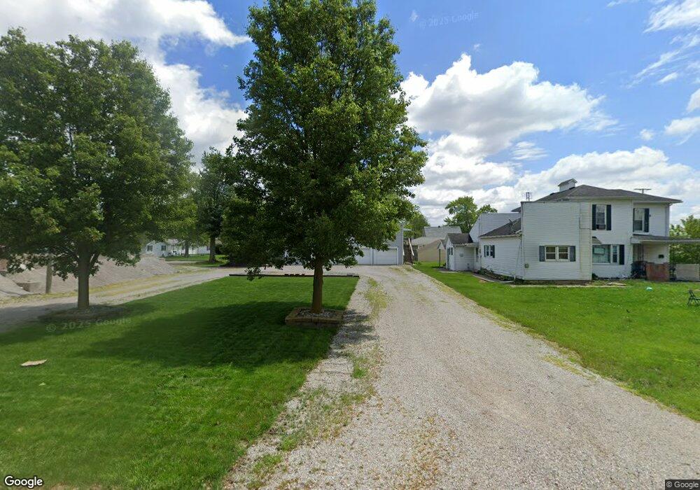
221 S Grant St Paulding, OH 45879
Estimated Value: $155,210 - $173,000
3
Beds
2
Baths
1,872
Sq Ft
$88/Sq Ft
Est. Value
About This Home
This home is located at 221 S Grant St, Paulding, OH 45879 and is currently estimated at $164,053, approximately $87 per square foot. 221 S Grant St is a home located in Paulding County with nearby schools including Paulding High School.
Ownership History
Date
Name
Owned For
Owner Type
Purchase Details
Closed on
Jan 9, 2017
Sold by
Edwards Brenda L
Bought by
Hanenkratt Jonathan E and Hanenkratt Crystal A
Current Estimated Value
Home Financials for this Owner
Home Financials are based on the most recent Mortgage that was taken out on this home.
Original Mortgage
$87,300
Outstanding Balance
$70,865
Interest Rate
4.03%
Mortgage Type
New Conventional
Estimated Equity
$93,188
Purchase Details
Closed on
Apr 27, 2016
Sold by
Edwards Joel M
Bought by
Brenda L Edwards
Purchase Details
Closed on
Oct 6, 1989
Bought by
Edwards Brenda L
Create a Home Valuation Report for This Property
The Home Valuation Report is an in-depth analysis detailing your home's value as well as a comparison with similar homes in the area
Home Values in the Area
Average Home Value in this Area
Purchase History
| Date | Buyer | Sale Price | Title Company |
|---|---|---|---|
| Hanenkratt Jonathan E | $90,000 | None Available | |
| Brenda L Edwards | -- | -- | |
| Edwards Brenda L | $42,500 | -- |
Source: Public Records
Mortgage History
| Date | Status | Borrower | Loan Amount |
|---|---|---|---|
| Open | Hanenkratt Jonathan E | $87,300 |
Source: Public Records
Tax History
| Year | Tax Paid | Tax Assessment Tax Assessment Total Assessment is a certain percentage of the fair market value that is determined by local assessors to be the total taxable value of land and additions on the property. | Land | Improvement |
|---|---|---|---|---|
| 2025 | $1,927 | $44,520 | $5,950 | $38,570 |
| 2024 | $1,927 | $36,190 | $4,830 | $31,360 |
| 2023 | $1,627 | $36,190 | $4,830 | $31,360 |
| 2022 | $1,577 | $36,190 | $4,830 | $31,360 |
| 2021 | $1,309 | $26,740 | $4,340 | $22,400 |
| 2020 | $1,170 | $26,740 | $4,340 | $22,400 |
| 2019 | $1,179 | $24,710 | $4,340 | $20,370 |
| 2018 | $1,110 | $24,710 | $4,340 | $20,370 |
| 2017 | $1,111 | $24,710 | $4,340 | $20,370 |
| 2016 | $1,111 | $24,710 | $4,340 | $20,370 |
| 2015 | $1,110 | $25,070 | $4,100 | $20,970 |
| 2014 | $1,105 | $25,070 | $4,100 | $20,970 |
| 2013 | $1,247 | $26,150 | $4,100 | $22,050 |
Source: Public Records
Map
Nearby Homes
- 850 W Wayne St
- 840 W Wayne St
- 827 W Harrison St
- 830 W Wayne St
- 823 W Harrison St
- 902 W Wayne St
- 902 W Wayne St
- 210 S Grant St
- 824 W Wayne St
- 206 S Grant St
- 821 W Harrison St
- 821 W Harrison St
- 903 W Wayne St
- 906 W Wayne St
- 814 W Wayne St
- 905 W Wayne St
- 815 W Harrison St
- 910 W Wayne St
- 826 W Harrison St
- 114 S Grant St
Your Personal Tour Guide
Ask me questions while you tour the home.