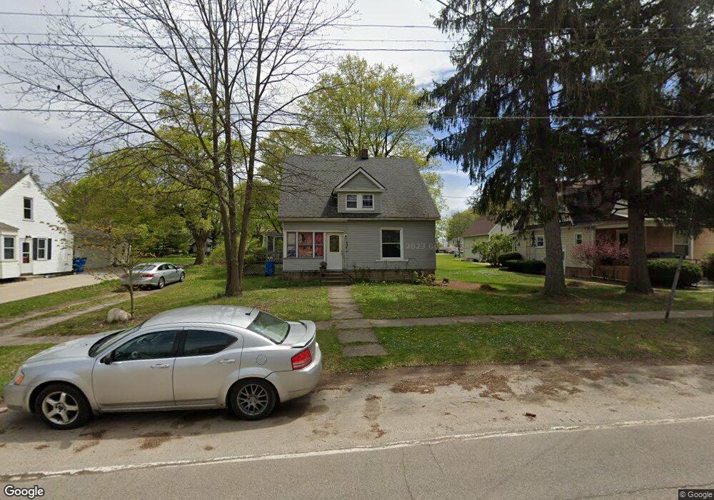
221 S Maple St Onsted, MI 49265
Estimated Value: $165,000 - $185,074
3
Beds
2
Baths
1,690
Sq Ft
$104/Sq Ft
Est. Value
About This Home
This home is located at 221 S Maple St, Onsted, MI 49265 and is currently estimated at $176,019, approximately $104 per square foot. 221 S Maple St is a home located in Lenawee County with nearby schools including Onsted Elementary School, Onsted Middle School, and Onsted Community High School.
Ownership History
Date
Name
Owned For
Owner Type
Purchase Details
Closed on
Oct 30, 2008
Sold by
Preston Steven C
Bought by
Lawrence Erica L
Current Estimated Value
Home Financials for this Owner
Home Financials are based on the most recent Mortgage that was taken out on this home.
Original Mortgage
$49,145
Outstanding Balance
$32,276
Interest Rate
6.09%
Mortgage Type
FHA
Estimated Equity
$143,743
Purchase Details
Closed on
Mar 10, 2008
Sold by
Lasalle Bank Midwest Na
Bought by
The Secretary Of Hud
Purchase Details
Closed on
Nov 1, 2007
Sold by
Gunn Timothy and Gunn Elizabeth A
Bought by
Lasalle Bank Midwest Na
Create a Home Valuation Report for This Property
The Home Valuation Report is an in-depth analysis detailing your home's value as well as a comparison with similar homes in the area
Home Values in the Area
Average Home Value in this Area
Purchase History
| Date | Buyer | Sale Price | Title Company |
|---|---|---|---|
| Lawrence Erica L | $39,000 | None Available | |
| The Secretary Of Hud | -- | None Available | |
| Lasalle Bank Midwest Na | $119,182 | None Available |
Source: Public Records
Mortgage History
| Date | Status | Borrower | Loan Amount |
|---|---|---|---|
| Open | Lawrence Erica L | $49,145 |
Source: Public Records
Tax History Compared to Growth
Tax History
| Year | Tax Paid | Tax Assessment Tax Assessment Total Assessment is a certain percentage of the fair market value that is determined by local assessors to be the total taxable value of land and additions on the property. | Land | Improvement |
|---|---|---|---|---|
| 2025 | $1,397 | $69,700 | $0 | $0 |
| 2024 | $2,754 | $69,400 | $0 | $0 |
| 2022 | $2,557 | $55,000 | $0 | $0 |
| 2021 | $2,780 | $49,100 | $0 | $0 |
| 2020 | $2,730 | $47,100 | $0 | $0 |
| 2019 | $123,917 | $44,100 | $0 | $0 |
| 2018 | $2,525 | $44,097 | $0 | $0 |
| 2017 | $1,451 | $44,805 | $0 | $0 |
| 2016 | $2,370 | $42,146 | $0 | $0 |
| 2014 | -- | $41,172 | $0 | $0 |
Source: Public Records
Map
Nearby Homes
- 116 W Fourth St
- 409 Connor St
- Lot 8 Walsh Ct
- 8826 Irish Mist
- 0 Castlebar Ln Unit 25054904
- Lot 2 Walsh Ct
- 8810 W Stephenson Hwy
- 8000 Slee Rd
- 8812 Walsh Ct
- 8443 Stephenson Rd
- 7905 Wadding Dr
- 7831 Barron Ct
- 7604 Sherlock Dr
- 7966 Kingsley Dr
- 7596 Wadding Dr
- 10093 Shepherd Rd
- 7000 Surrey Dr
- 9160 Kingsley Dr
- 8861 Sussex Ct
- 8899 Sussex Ct
- 219 S Maple St
- 225 S Maple St
- 229 S Maple St
- 233 S Maple St
- 117 W 4th St
- 121 W Fourth St
- 237 S Maple St
- 237 S Maple St Unit MAPLE
- 115 W 4th St Unit FOURTH
- 115 W 4th St
- 115 W Fourth St Unit FOURTH
- 115 W Fourth St
- 120 S Maple St
- 214 S Main St
- 241 S Maple St
- 121 W 4th St
- 121 W 4th St
- 228 S Main St
- 204 S Main St
- 204 S Main St Unit 204 Main