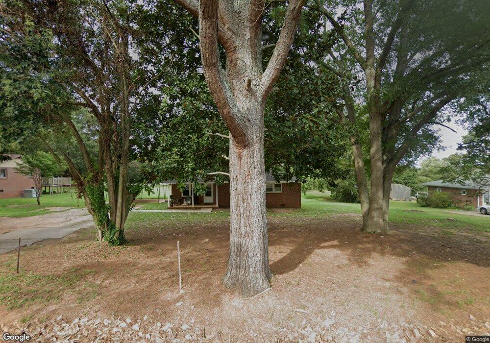
221 Scott Cir Pendleton, SC 29670
Estimated Value: $147,000 - $273,000
3
Beds
1
Bath
1,125
Sq Ft
$181/Sq Ft
Est. Value
About This Home
This home is located at 221 Scott Cir, Pendleton, SC 29670 and is currently estimated at $203,599, approximately $180 per square foot. 221 Scott Cir is a home located in Anderson County with nearby schools including Pendleton High School.
Ownership History
Date
Name
Owned For
Owner Type
Purchase Details
Closed on
Dec 22, 2010
Sold by
Capitalbank
Bought by
Willow 128 Llc
Current Estimated Value
Home Financials for this Owner
Home Financials are based on the most recent Mortgage that was taken out on this home.
Original Mortgage
$24,000
Interest Rate
4.42%
Mortgage Type
Purchase Money Mortgage
Purchase Details
Closed on
Jul 21, 2010
Sold by
Wtm Management Inc
Bought by
Capitalbank
Purchase Details
Closed on
Jul 18, 2002
Sold by
Smith Viola C
Bought by
Cantrell Terri L
Purchase Details
Closed on
Jul 10, 2002
Sold by
Master In Equity
Bought by
Citifinancial Mtg
Create a Home Valuation Report for This Property
The Home Valuation Report is an in-depth analysis detailing your home's value as well as a comparison with similar homes in the area
Home Values in the Area
Average Home Value in this Area
Purchase History
| Date | Buyer | Sale Price | Title Company |
|---|---|---|---|
| Willow 128 Llc | $30,000 | -- | |
| Capitalbank | $40,681 | -- | |
| Cantrell Terri L | $5,000 | -- | |
| Citifinancial Mtg | $2,500 | -- |
Source: Public Records
Mortgage History
| Date | Status | Borrower | Loan Amount |
|---|---|---|---|
| Closed | Willow 128 Llc | $24,000 |
Source: Public Records
Tax History
| Year | Tax Paid | Tax Assessment Tax Assessment Total Assessment is a certain percentage of the fair market value that is determined by local assessors to be the total taxable value of land and additions on the property. | Land | Improvement |
|---|---|---|---|---|
| 2024 | $1,897 | $5,860 | $1,130 | $4,730 |
| 2023 | $1,889 | $5,860 | $1,130 | $4,730 |
| 2022 | $1,772 | $5,860 | $1,130 | $4,730 |
| 2021 | $1,655 | $4,820 | $570 | $4,250 |
| 2020 | $1,644 | $4,820 | $570 | $4,250 |
| 2019 | $1,644 | $4,820 | $570 | $4,250 |
| 2018 | $1,621 | $4,820 | $570 | $4,250 |
| 2017 | -- | $4,820 | $570 | $4,250 |
| 2016 | $1,519 | $4,600 | $480 | $4,120 |
| 2015 | $1,523 | $4,600 | $480 | $4,120 |
| 2014 | $1,520 | $4,600 | $480 | $4,120 |
Source: Public Records
Map
Nearby Homes
- 540 Seaborn Cir
- 538 Seaborn Cir
- 616 Anderson Rd
- 110 Wyndham Dr
- 104 Carrie Leigh Ln
- 0 Cherry Street Extension
- 28 Vanessa Rae Ln
- 107 Colonial Ct
- 1409 Autun Rd
- 102 Colonial Ct
- 102 Magnolia Ln
- 213 Bostic Ct
- 209 Bostic Ct
- 150 Queens Mill Ct
- 156 Queens Mill Ct
- 206 Bostic Ct
- 202 Bostic Ct
- 168 Queens Mill Ct
- 104 Benjamin Blvd
- 205 Bostic Ct
Your Personal Tour Guide
Ask me questions while you tour the home.