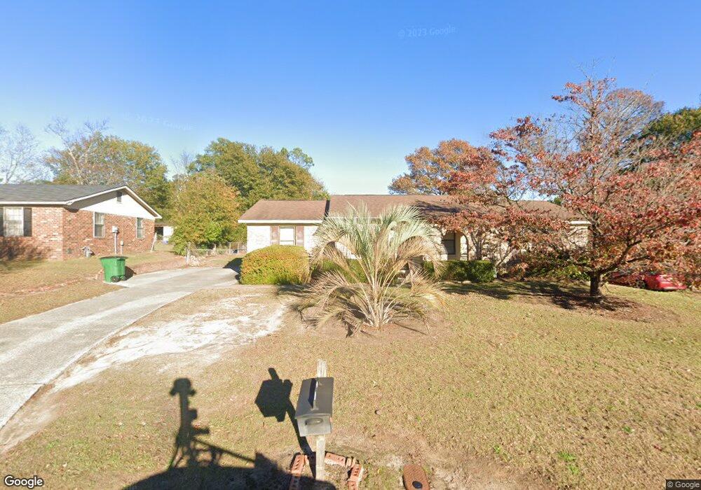
221 Shawnee Dr Augusta, GA 30907
Estimated Value: $211,000 - $223,448
3
Beds
2
Baths
1,404
Sq Ft
$156/Sq Ft
Est. Value
About This Home
This home is located at 221 Shawnee Dr, Augusta, GA 30907 and is currently estimated at $219,362, approximately $156 per square foot. 221 Shawnee Dr is a home located in Columbia County with nearby schools including Westmont Elementary School, Columbia Middle School, and Jupiter High School.
Ownership History
Date
Name
Owned For
Owner Type
Purchase Details
Closed on
Apr 4, 2024
Sold by
Chrisco Henry S
Bought by
Henry Steve Chrisco Jr Living Trust Date
Current Estimated Value
Purchase Details
Closed on
Feb 27, 2002
Sold by
Kimmerly Earl A and Kimmerly Tina L
Bought by
Chrisco Henry S and Chrisco Sherry A
Home Financials for this Owner
Home Financials are based on the most recent Mortgage that was taken out on this home.
Original Mortgage
$68,500
Interest Rate
7.16%
Create a Home Valuation Report for This Property
The Home Valuation Report is an in-depth analysis detailing your home's value as well as a comparison with similar homes in the area
Home Values in the Area
Average Home Value in this Area
Purchase History
| Date | Buyer | Sale Price | Title Company |
|---|---|---|---|
| Henry Steve Chrisco Jr Living Trust Date | -- | -- | |
| Chrisco Henry S | $78,500 | -- |
Source: Public Records
Mortgage History
| Date | Status | Borrower | Loan Amount |
|---|---|---|---|
| Previous Owner | Chrisco Henry S | $68,500 |
Source: Public Records
Tax History Compared to Growth
Tax History
| Year | Tax Paid | Tax Assessment Tax Assessment Total Assessment is a certain percentage of the fair market value that is determined by local assessors to be the total taxable value of land and additions on the property. | Land | Improvement |
|---|---|---|---|---|
| 2025 | $739 | $91,202 | $15,104 | $76,098 |
| 2024 | $2,161 | $86,074 | $16,804 | $69,270 |
| 2023 | $2,161 | $77,694 | $15,104 | $62,590 |
| 2022 | $1,885 | $72,226 | $12,204 | $60,022 |
| 2021 | $1,746 | $63,982 | $11,204 | $52,778 |
| 2020 | $1,601 | $57,469 | $10,204 | $47,265 |
| 2019 | $1,572 | $56,446 | $9,104 | $47,342 |
| 2018 | $1,556 | $55,637 | $9,404 | $46,233 |
| 2017 | $1,450 | $51,662 | $9,604 | $42,058 |
| 2016 | $1,250 | $46,153 | $8,380 | $37,773 |
| 2015 | $1,087 | $40,027 | $7,880 | $32,147 |
| 2014 | $1,121 | $40,812 | $8,280 | $32,532 |
Source: Public Records
Map
Nearby Homes
- 230 Palmetto Dr
- 4505 Oakley Pirkle Rd
- 4507 Colonial Rd
- 2906 Palmetto Dr
- 2912 Palmetto Dr
- 4127 Meriden Dr
- 239 Cavalier Ct
- 349 Westmont Dr
- 4573 Oakley Pirkle Rd
- 4577 Oakley Pirkle Rd
- 211 Kestwick Dr W
- 606 Todd Rd
- 340 Colonial Ct
- 221 Biltmore Dr
- 133 Highview Dr
- 4373 Quail Creek Rd
- 373 Forest Ct
- 302 Laurel Place
- 4366 Quail Creek Rd
- 522 Gray Dr
- 219 Shawnee Dr
- 223 Shawnee Dr
- 225 Shawnee Dr
- 217 Shawnee Dr
- 211 S Belair Rd
- 209 S Belair Rd
- 213 S Belair Rd
- 222 Shawnee Dr
- 224 Shawnee Dr
- 220 Shawnee Dr
- 227 Shawnee Dr
- 226 Shawnee Dr
- 215 Shawnee Dr
- 207 S Belair Rd
- 218 Shawnee Dr
- 215 S Belair Rd
- 228 Shawnee Dr
- 229 Shawnee Dr
- 213 Shawnee Dr
- 4504 Shawnee Dr