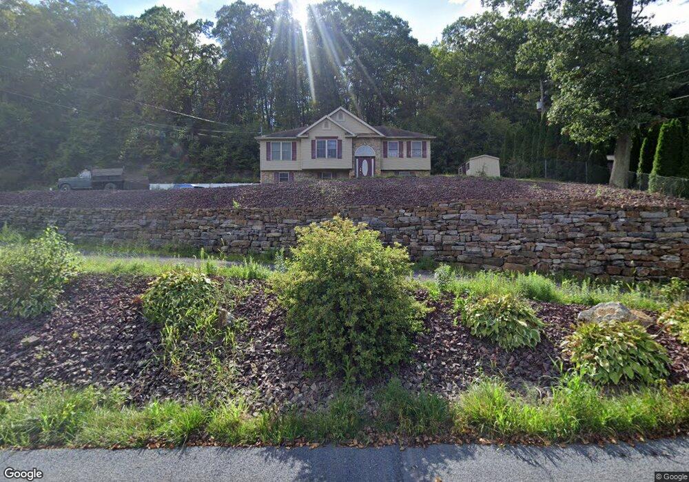
221 State Route 2026 Coal Township, PA 17866
Estimated Value: $97,000 - $195,000
--
Bed
--
Bath
--
Sq Ft
0.82
Acres
About This Home
This home is located at 221 State Route 2026, Coal Township, PA 17866 and is currently estimated at $132,564. 221 State Route 2026 is a home located in Northumberland County with nearby schools including Shamokin Area Elementary School, Shamokin Area Middle School, and Shamokin Area High School.
Ownership History
Date
Name
Owned For
Owner Type
Purchase Details
Closed on
Jul 10, 2020
Sold by
Lupold Hallie J and Whalen Donald L
Bought by
Whalen Donald L
Current Estimated Value
Home Financials for this Owner
Home Financials are based on the most recent Mortgage that was taken out on this home.
Original Mortgage
$163,840
Interest Rate
3.2%
Mortgage Type
Commercial
Create a Home Valuation Report for This Property
The Home Valuation Report is an in-depth analysis detailing your home's value as well as a comparison with similar homes in the area
Home Values in the Area
Average Home Value in this Area
Purchase History
| Date | Buyer | Sale Price | Title Company |
|---|---|---|---|
| Whalen Donald L | -- | None Available |
Source: Public Records
Mortgage History
| Date | Status | Borrower | Loan Amount |
|---|---|---|---|
| Closed | Whalen Donald L | $163,840 |
Source: Public Records
Tax History Compared to Growth
Tax History
| Year | Tax Paid | Tax Assessment Tax Assessment Total Assessment is a certain percentage of the fair market value that is determined by local assessors to be the total taxable value of land and additions on the property. | Land | Improvement |
|---|---|---|---|---|
| 2025 | $3,589 | $31,400 | $1,180 | $30,220 |
| 2024 | $3,334 | $31,400 | $1,180 | $30,220 |
| 2023 | $3,334 | $31,400 | $1,180 | $30,220 |
| 2022 | $3,275 | $31,400 | $1,180 | $30,220 |
| 2021 | $3,147 | $31,400 | $1,180 | $30,220 |
| 2020 | $3,132 | $31,400 | $1,180 | $30,220 |
| 2019 | $2,840 | $31,400 | $1,180 | $30,220 |
| 2018 | $2,805 | $31,400 | $1,180 | $30,220 |
| 2017 | $2,664 | $31,400 | $1,180 | $30,220 |
| 2016 | -- | $31,400 | $1,180 | $30,220 |
| 2015 | -- | $31,400 | $1,180 | $30,220 |
| 2014 | -- | $31,400 | $1,180 | $30,220 |
Source: Public Records
Map
Nearby Homes
- 0 Old Excelsior Rd
- 401 Clay St
- 108 N Berry St
- 33 35 N Berry St
- 408 Water St
- 1701 Pulaski Ave
- 1221 Chemung St
- 1004 E Commerce St
- 1009 E Packer St
- 1016 E Kase St
- 900 E Sunbury St Unit 902
- 813815 E Commerce
- 813 E Commerce St
- 719 E Dewart St
- 715 E Commerce St
- 722 Race St
- 720 Race St
- 122 N Pearl St
- 718 N Franklin St
- 416 N Shamokin St
- 243 State Route 2026
- 255 State Route 2026
- 257 State Route 2026
- 261 State Route 2026
- 254 State Route 2026
- 267 State Route 2026
- 269 State Route 2026
- BOX 994 Rural Route Unit 3
- BOX 994 Rural Route
- 294 State Route 2026
- 304 State Route 2026 Unit 306
- 295 State Route 2026
- 108 Fidler Green Rd
- 130 Coal Run Rd
- 305 State Route 2026
- 307 State Route 2026
- 926 Rr 3
- 127 Coal Run Rd
- 127 Coal Run Rd
- 315 State Route 2026