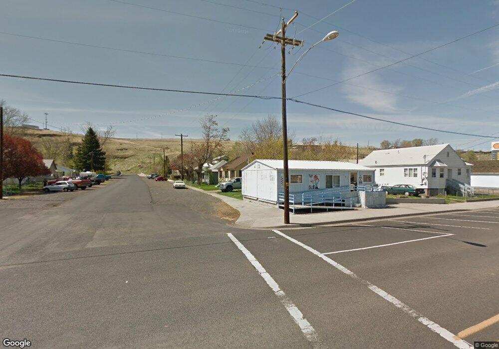
221 SW 2nd St Pilot Rock, OR 97868
Estimated Value: $184,000 - $200,000
2
Beds
1
Bath
910
Sq Ft
$212/Sq Ft
Est. Value
About This Home
This home is located at 221 SW 2nd St, Pilot Rock, OR 97868 and is currently estimated at $192,485, approximately $211 per square foot. 221 SW 2nd St is a home with nearby schools including Pilot Rock Elementary School and Pilot Rock High School.
Create a Home Valuation Report for This Property
The Home Valuation Report is an in-depth analysis detailing your home's value as well as a comparison with similar homes in the area
Home Values in the Area
Average Home Value in this Area
Tax History Compared to Growth
Tax History
| Year | Tax Paid | Tax Assessment Tax Assessment Total Assessment is a certain percentage of the fair market value that is determined by local assessors to be the total taxable value of land and additions on the property. | Land | Improvement |
|---|---|---|---|---|
| 2024 | $1,882 | $109,020 | $25,120 | $83,900 |
| 2023 | $1,844 | $105,850 | $24,390 | $81,460 |
| 2022 | $1,729 | $102,770 | $0 | $0 |
| 2021 | $1,686 | $99,780 | $22,990 | $76,790 |
| 2020 | $1,498 | $96,880 | $22,320 | $74,560 |
| 2018 | $1,234 | $79,670 | $23,000 | $56,670 |
| 2017 | $1,286 | $82,850 | $24,020 | $58,830 |
| 2016 | $1,562 | $94,130 | $12,860 | $81,270 |
| 2015 | $1,536 | $86,150 | $11,780 | $74,370 |
| 2014 | $1,464 | $86,150 | $11,780 | $74,370 |
Source: Public Records
Map
Nearby Homes
- 261 SW 2nd St
- 520 NE 4th St
- 706 NE Gumwood St
- 44743 McKay Creek Rd
- 70349 Lakeside Rd
- 63615 E Birch Creek Ed
- 000 Motanic Rd
- 0000 County 1031 Rd
- 71539 SW Bridle Dr
- 72062 Westfield Blvd
- 904 SW 43rd St
- 4207 SW Sheridan Ave
- 0 Mckay Dr
- 1437 SW 40th St
- 1901 SW Runnion Ln
- 1437 SW 37th St Unit 43
- 1914 SW 2nd Dr
- 1328 SW 44th St
- 0 SW 2nd St Unit 263926795
- 0 SW Quinney Ln Unit 24414661