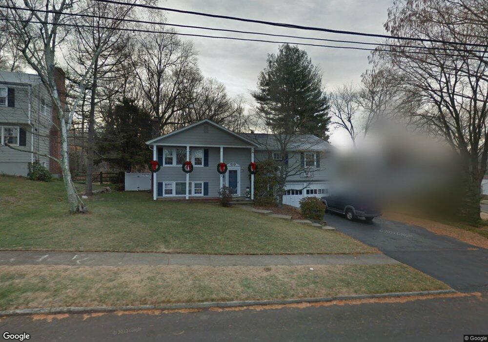
221 Taunton Rd Fairfield, CT 06824
University NeighborhoodEstimated Value: $923,000 - $1,304,000
3
Beds
4
Baths
1,740
Sq Ft
$639/Sq Ft
Est. Value
About This Home
This home is located at 221 Taunton Rd, Fairfield, CT 06824 and is currently estimated at $1,111,691, approximately $638 per square foot. 221 Taunton Rd is a home located in Fairfield County with nearby schools including Riverfield Elementary School, Roger Ludlowe Middle School, and Fairfield Ludlowe High School.
Ownership History
Date
Name
Owned For
Owner Type
Purchase Details
Closed on
Jan 28, 1997
Sold by
Jambhekar Ajay S and Jambhekar Greta A
Bought by
Moeder Maura E and Moeder William D
Current Estimated Value
Purchase Details
Closed on
Jan 17, 1995
Sold by
Olsen Victor N and Olsen Gloria P
Bought by
Jambhekar Ajay S and Jambhekar Greta A
Create a Home Valuation Report for This Property
The Home Valuation Report is an in-depth analysis detailing your home's value as well as a comparison with similar homes in the area
Home Values in the Area
Average Home Value in this Area
Purchase History
| Date | Buyer | Sale Price | Title Company |
|---|---|---|---|
| Moeder Maura E | $271,500 | -- | |
| Moeder Maura E | $271,500 | -- | |
| Jambhekar Ajay S | $285,157 | -- | |
| Jambhekar Ajay S | $285,157 | -- |
Source: Public Records
Mortgage History
| Date | Status | Borrower | Loan Amount |
|---|---|---|---|
| Open | Jambhekar Ajay S | $100,000 | |
| Closed | Jambhekar Ajay S | $24,000 | |
| Closed | Jambhekar Ajay S | $97,034 |
Source: Public Records
Tax History Compared to Growth
Tax History
| Year | Tax Paid | Tax Assessment Tax Assessment Total Assessment is a certain percentage of the fair market value that is determined by local assessors to be the total taxable value of land and additions on the property. | Land | Improvement |
|---|---|---|---|---|
| 2025 | $11,395 | $401,380 | $259,140 | $142,240 |
| 2024 | $11,199 | $401,380 | $259,140 | $142,240 |
| 2023 | $11,042 | $401,380 | $259,140 | $142,240 |
| 2022 | $10,934 | $401,380 | $259,140 | $142,240 |
| 2021 | $10,829 | $401,380 | $259,140 | $142,240 |
| 2020 | $10,685 | $398,860 | $256,410 | $142,450 |
| 2019 | $10,685 | $398,860 | $256,410 | $142,450 |
| 2018 | $10,514 | $398,860 | $256,410 | $142,450 |
| 2017 | $10,299 | $398,860 | $256,410 | $142,450 |
| 2016 | $10,151 | $398,860 | $256,410 | $142,450 |
| 2015 | $9,912 | $399,840 | $271,950 | $127,890 |
| 2014 | $9,756 | $399,840 | $271,950 | $127,890 |
Source: Public Records
Map
Nearby Homes
- 232 Pell Meadow Dr
- 105 Charter Oak Rd
- 44 Deer Run Rd
- 20 Ermine St
- 168 Wormwood Rd
- 647 Bronson Rd
- 245 Unquowa Rd Unit 34
- 245 Unquowa Rd Unit 11
- 245 Unquowa Rd Unit 33
- 38 Edge Hill Rd
- 15 Barton Rd
- 133 Green Acre Ln
- 360 Duck Farm Rd
- 122 Colony St
- 33 Middlebrook Place
- 476 Mill Hill Terrace
- 254 Sherwood Farm Rd
- 65 Thorpe St Unit 65
- 65 Thorpe St
- 21 Beaumont St
- 195 Taunton Rd
- 237 Taunton Rd
- 190 Taunton Rd
- 210 Taunton Rd
- 176 Taunton Rd
- 165 Taunton Rd
- 200 Taunton Rd
- 153 Taunton Rd
- 224 Taunton Rd
- 250 Taunton Rd
- 139 Taunton Rd
- 138 Taunton Rd
- 27 Maple Dr
- 1084 Mill Plain Rd
- 251 Taunton Rd
- 1110 Mill Plain Rd
- 120 Old Barn Rd
- 1104 Mill Plain Rd
- 286 Taunton Rd
- 121 Taunton Rd