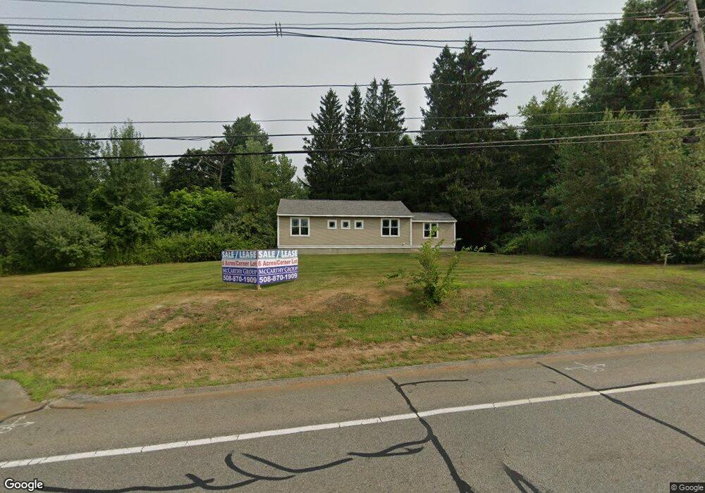
221 Turnpike Rd Westborough, MA 01581
Estimated Value: $487,000 - $1,368,667
2
Beds
1
Bath
1,032
Sq Ft
$699/Sq Ft
Est. Value
About This Home
This home is located at 221 Turnpike Rd, Westborough, MA 01581 and is currently estimated at $721,167, approximately $698 per square foot. 221 Turnpike Rd is a home located in Worcester County with nearby schools including Westborough High School, Westboro Knowledge Beginnings, and Ebridge Montessori School.
Ownership History
Date
Name
Owned For
Owner Type
Purchase Details
Closed on
Jul 8, 2015
Sold by
169 Milk Street Llc
Bought by
180 Turnpike Road Llc
Current Estimated Value
Purchase Details
Closed on
Jan 31, 2011
Sold by
Bayou Mohamed
Bought by
169 Milk Street Llc
Purchase Details
Closed on
Nov 4, 2008
Sold by
Josephine T Hansen Ft and Hansen Otto E
Bought by
Bayou Mohamed
Create a Home Valuation Report for This Property
The Home Valuation Report is an in-depth analysis detailing your home's value as well as a comparison with similar homes in the area
Home Values in the Area
Average Home Value in this Area
Purchase History
| Date | Buyer | Sale Price | Title Company |
|---|---|---|---|
| 180 Turnpike Road Llc | $656,500 | -- | |
| 169 Milk Street Llc | $175,000 | -- | |
| Bayou Mohamed | $170,000 | -- |
Source: Public Records
Tax History Compared to Growth
Tax History
| Year | Tax Paid | Tax Assessment Tax Assessment Total Assessment is a certain percentage of the fair market value that is determined by local assessors to be the total taxable value of land and additions on the property. | Land | Improvement |
|---|---|---|---|---|
| 2025 | $5,325 | $326,900 | $247,300 | $79,600 |
| 2024 | $5,145 | $313,500 | $230,000 | $83,500 |
| 2023 | $5,003 | $297,100 | $218,000 | $79,100 |
| 2022 | $4,476 | $242,100 | $173,300 | $68,800 |
| 2021 | $4,138 | $223,200 | $154,400 | $68,800 |
| 2020 | $4,248 | $231,900 | $160,700 | $71,200 |
| 2019 | $4,047 | $220,800 | $160,700 | $60,100 |
| 2018 | $4,425 | $197,900 | $149,700 | $48,200 |
| 2017 | $3,523 | $197,900 | $149,700 | $48,200 |
| 2016 | $3,392 | $190,900 | $141,800 | $49,100 |
| 2015 | -- | $176,600 | $126,000 | $50,600 |
Source: Public Records
Map
Nearby Homes
- 8 Stagecoach Cir Unit 8
- 155 Milk St Unit 5
- 9 Shaker Way
- 52 Treetop Park Unit 52
- 196 -198 Turnpike Rd
- 22 Treetop Park
- 9 Treetop Park
- 19 Treetop Park Unit 19
- 3 Dover Way
- 59 Indian Meadow Dr
- 19 Fisher St
- 7 Mayberry Dr Unit H
- 14 Mayberry Dr Unit 10
- 48 High Street Extension
- 43 Church St
- 5 Chauncy Cir
- 23 Water St
- 6 Folly Ln
- 14 Grove St Unit 2
- 1 Hamilton Rd
- 169 Milk St
- 171 Milk St
- 0 Turnpike Rd
- 222 Turnpike Rd Unit 12 & 13
- 222 Turnpike Rd
- 173 Milk St
- 161 Milk St
- 0 Oak St Unit 71942247
- 0 Oak St Unit 71334002
- 153 Milk St Unit 33
- 153 Milk St Unit 32
- 153 Milk St Unit 31
- 153 Milk St Unit 29
- 153 Milk St Unit 28
- 153 Milk St Unit 27
- 153 Milk St Unit 25
- 153 Milk St Unit 24
- 153 Milk St Unit 23
- 153 Milk St Unit 22
- 153 Milk St Unit 21