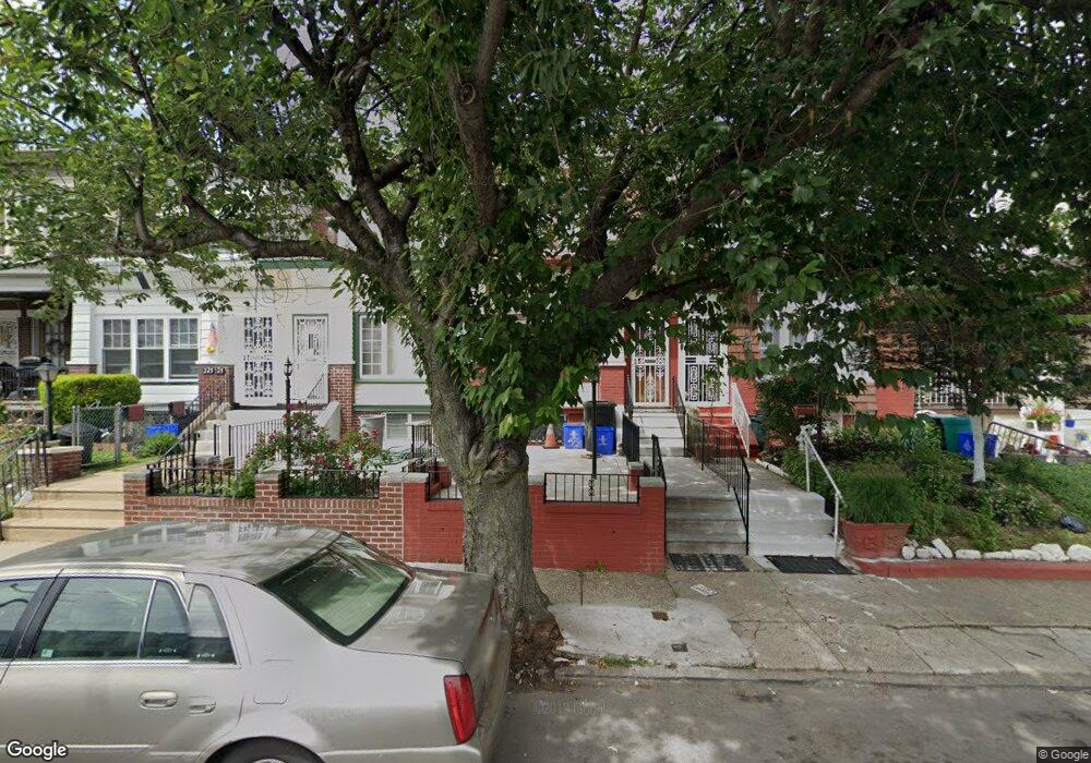
221 W Ashdale St Philadelphia, PA 19120
Olney NeighborhoodEstimated Value: $167,000 - $195,000
3
Beds
1
Bath
1,260
Sq Ft
$143/Sq Ft
Est. Value
About This Home
This home is located at 221 W Ashdale St, Philadelphia, PA 19120 and is currently estimated at $179,821, approximately $142 per square foot. 221 W Ashdale St is a home located in Philadelphia County with nearby schools including Andrew J. Morrison School, Birney Preparatory Academy, and Olney Charter High School.
Ownership History
Date
Name
Owned For
Owner Type
Purchase Details
Closed on
Feb 21, 2017
Sold by
Bryant Robin M
Bought by
Bryant Robin M and Bryant Johnny
Current Estimated Value
Home Financials for this Owner
Home Financials are based on the most recent Mortgage that was taken out on this home.
Original Mortgage
$64,865
Outstanding Balance
$55,546
Interest Rate
5.5%
Mortgage Type
FHA
Estimated Equity
$124,275
Purchase Details
Closed on
Jun 29, 1983
Bought by
Bryant Robin M
Create a Home Valuation Report for This Property
The Home Valuation Report is an in-depth analysis detailing your home's value as well as a comparison with similar homes in the area
Home Values in the Area
Average Home Value in this Area
Purchase History
| Date | Buyer | Sale Price | Title Company |
|---|---|---|---|
| Bryant Robin M | -- | None Available | |
| Bryant Robin M | $26,000 | -- |
Source: Public Records
Mortgage History
| Date | Status | Borrower | Loan Amount |
|---|---|---|---|
| Open | Bryant Robin M | $64,865 |
Source: Public Records
Tax History Compared to Growth
Tax History
| Year | Tax Paid | Tax Assessment Tax Assessment Total Assessment is a certain percentage of the fair market value that is determined by local assessors to be the total taxable value of land and additions on the property. | Land | Improvement |
|---|---|---|---|---|
| 2025 | $1,506 | $146,100 | $29,220 | $116,880 |
| 2024 | $1,506 | $146,100 | $29,220 | $116,880 |
| 2023 | $1,506 | $107,600 | $21,520 | $86,080 |
| 2022 | $1,506 | $107,600 | $21,520 | $86,080 |
| 2021 | $1,099 | $0 | $0 | $0 |
| 2020 | $1,099 | $0 | $0 | $0 |
| 2019 | $1,022 | $0 | $0 | $0 |
| 2018 | $1,099 | $0 | $0 | $0 |
| 2017 | $1,099 | $0 | $0 | $0 |
| 2016 | $1,099 | $0 | $0 | $0 |
| 2015 | $1,052 | $0 | $0 | $0 |
| 2014 | -- | $78,500 | $9,186 | $69,314 |
| 2012 | -- | $11,136 | $1,607 | $9,529 |
Source: Public Records
Map
Nearby Homes
- 4993 N 2nd St
- 4987 N 2nd St
- 258 W Sheldon St
- 207 W Albanus St
- 267 W Sheldon St
- 253 W Albanus St
- 313 Lindley Ave
- 239 Rubicam St
- 267 Rubicam St
- 5150 N 2nd St
- 246 W Duncannon Ave
- 263 W Sulis St
- 224 W Duncannon Ave
- 429 W Ashdale St
- 163 W Roosevelt Blvd
- 161 W Roosevelt Blvd
- 159 W Roosevelt Blvd
- 157 W Roosevelt Blvd
- 155 W Roosevelt Blvd
- 153 W Roosevelt Blvd
- 223 W Ashdale St
- 219 W Ashdale St
- 217 W Ashdale St
- 225 W Ashdale St
- 215 W Ashdale St
- 227 W Ashdale St
- 213 W Ashdale St
- 229 W Ashdale St
- 211 W Ashdale St
- 231 W Ashdale St
- 209 W Ashdale St
- 233 W Ashdale St
- 218 Lindley Ave
- 216 Lindley Ave
- 220 Lindley Ave
- 207 W Ashdale St
- 222 Lindley Ave
- 235 W Ashdale St
- 224 Lindley Ave
- 205 W Ashdale St