221 W Bluff Ln Millsap, TX 76066
Estimated Value: $920,000
--
Bed
--
Bath
2,638
Sq Ft
$349/Sq Ft
Est. Value
About This Home
This home is located at 221 W Bluff Ln, Millsap, TX 76066 and is currently estimated at $920,000, approximately $348 per square foot. 221 W Bluff Ln is a home with nearby schools including Brock Intermediate School, Brock Junior High School, and Brock High School.
Ownership History
Date
Name
Owned For
Owner Type
Purchase Details
Closed on
Nov 16, 2022
Sold by
Lane Lionel Robert and Lane Marylyn Goodman
Bought by
Lane Family Trust
Current Estimated Value
Purchase Details
Closed on
Oct 26, 2006
Sold by
Charter Land Group L P
Bought by
Lane Lionel R and Lane Marylyn
Purchase Details
Closed on
Mar 23, 2005
Bought by
Lane Lionel R and Lane Marylyn
Create a Home Valuation Report for This Property
The Home Valuation Report is an in-depth analysis detailing your home's value as well as a comparison with similar homes in the area
Home Values in the Area
Average Home Value in this Area
Purchase History
| Date | Buyer | Sale Price | Title Company |
|---|---|---|---|
| Lane Family Trust | -- | -- | |
| Lane Lionel R | -- | -- | |
| Lane Lionel R | -- | -- |
Source: Public Records
Tax History Compared to Growth
Tax History
| Year | Tax Paid | Tax Assessment Tax Assessment Total Assessment is a certain percentage of the fair market value that is determined by local assessors to be the total taxable value of land and additions on the property. | Land | Improvement |
|---|---|---|---|---|
| 2025 | $3,895 | $438,438 | -- | -- |
| 2024 | $3,895 | $398,580 | $90,000 | $308,580 |
| 2023 | $3,895 | $398,580 | $90,000 | $308,580 |
| 2022 | $5,992 | $370,080 | $36,000 | $334,080 |
| 2021 | $7,224 | $370,080 | $36,000 | $334,080 |
| 2020 | $6,658 | $307,590 | $36,000 | $271,590 |
| 2019 | $7,169 | $307,590 | $36,000 | $271,590 |
| 2018 | $6,650 | $284,050 | $58,000 | $226,050 |
| 2017 | $6,535 | $284,050 | $58,000 | $226,050 |
| 2016 | $6,535 | $284,050 | $58,000 | $226,050 |
| 2015 | $5,795 | $284,050 | $58,000 | $226,050 |
| 2014 | $5,989 | $280,440 | $67,500 | $212,940 |
Source: Public Records
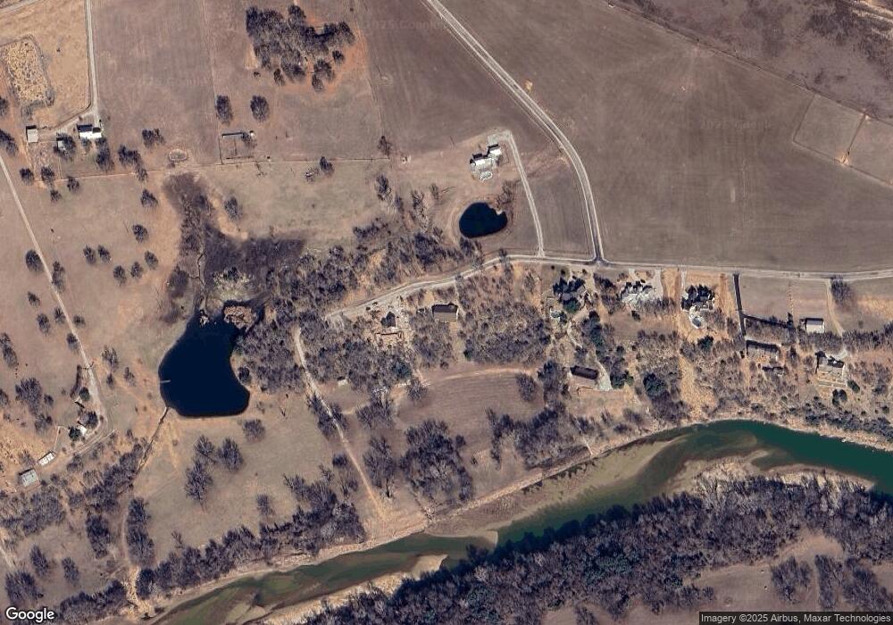
Map
Nearby Homes
- 3 W Bluff Ln
- 229 W Bluff Ln
- 210 W Bluff Ln
- 0 Dude Ln Unit 20350570
- 243 Dixie Rd
- 1004 Bermes Ct
- 2505 Lazy Bend Rd
- 205 Jimmy Ln
- 209 Jimmy Ln
- 213 Jimmy Ln
- 1040 Bermes Ct
- 217 Jimmy Ln
- 221 Jimmy Ln
- 327 Rita Ridge Ct
- 4475 Lazy Bend Rd
- 323 Rita Ridge Ct
- 328 Rita Ridge Ct
- 319 Rita Ridge Ct
- 100 Tall Grass Ct
- 115 Esther Ct