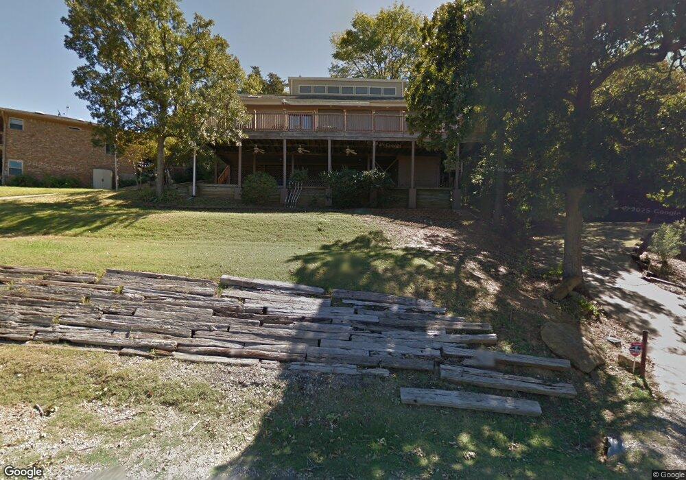
221 Walnut Ln Pottsboro, TX 75076
Estimated Value: $526,001 - $715,000
4
Beds
3
Baths
2,427
Sq Ft
$264/Sq Ft
Est. Value
About This Home
This home is located at 221 Walnut Ln, Pottsboro, TX 75076 and is currently estimated at $641,750, approximately $264 per square foot. 221 Walnut Ln is a home located in Grayson County with nearby schools including Pottsboro Elementary School, Pottsboro Middle School, and Pottsboro High School.
Ownership History
Date
Name
Owned For
Owner Type
Purchase Details
Closed on
Jul 27, 2020
Sold by
Mccann Daniel G and Mccann Carol R
Bought by
Hill Thomas F and Hill Janet W
Current Estimated Value
Home Financials for this Owner
Home Financials are based on the most recent Mortgage that was taken out on this home.
Original Mortgage
$344,000
Outstanding Balance
$306,273
Interest Rate
3.2%
Mortgage Type
New Conventional
Estimated Equity
$335,477
Create a Home Valuation Report for This Property
The Home Valuation Report is an in-depth analysis detailing your home's value as well as a comparison with similar homes in the area
Home Values in the Area
Average Home Value in this Area
Purchase History
| Date | Buyer | Sale Price | Title Company |
|---|---|---|---|
| Hill Thomas F | -- | Grayson County Title |
Source: Public Records
Mortgage History
| Date | Status | Borrower | Loan Amount |
|---|---|---|---|
| Open | Hill Thomas F | $344,000 |
Source: Public Records
Tax History Compared to Growth
Tax History
| Year | Tax Paid | Tax Assessment Tax Assessment Total Assessment is a certain percentage of the fair market value that is determined by local assessors to be the total taxable value of land and additions on the property. | Land | Improvement |
|---|---|---|---|---|
| 2025 | $7,819 | $563,475 | $196,818 | $366,657 |
| 2024 | $7,819 | $564,338 | $196,400 | $367,938 |
| 2023 | $8,041 | $579,414 | $201,688 | $377,726 |
| 2022 | $7,158 | $454,786 | $164,675 | $290,111 |
| 2021 | $6,378 | $392,163 | $150,928 | $241,235 |
| 2020 | $5,709 | $338,171 | $111,200 | $226,971 |
| 2019 | $5,994 | $338,791 | $111,200 | $227,591 |
| 2018 | $5,858 | $326,951 | $111,200 | $215,751 |
| 2017 | $6,285 | $346,271 | $120,718 | $225,553 |
| 2016 | $6,224 | $342,918 | $111,526 | $231,392 |
| 2015 | $5,364 | $290,377 | $111,526 | $178,851 |
| 2014 | -- | $278,961 | $111,526 | $167,435 |
Source: Public Records
Map
Nearby Homes
- 210 Walnut Ln
- 105 Eagleview Cir
- 110 Eagleview Cir
- 120 Eagleview Cir
- 137 Anderson Ln
- 219 Ray Rd
- 33 Queens Dr
- 11 Mayfield Ln
- 83 Mayfield Ln
- 344 Castle Dr
- 545 Black Forest Dr
- 491 Black Forest Dr
- 226 Cambridge Dr
- 16 Wales Dr
- 142 Wales Dr
- 34 Cambridge Dr
- 191 Black Forest Dr
- 81 Windsor Dr
- 207 Wales Dr
- 258 Lou-Sand Hill Rd
- 219 Walnut Ln
- 226 Walnut Ln
- 223 Walnut Ln
- 218 Island View Dr
- 218 Walnut Ln
- 216 Island View Dr
- TBD Walnut Ln
- 220 Island View Dr
- 222 Island View Dr
- 33 Island View Dr
- 213 Island View Dr
- 219 Island View Dr
- 211 Island View Dr
- 217 Island View Dr
- 206 Walnut Ln
- Lot 8 Island View Dr
- Lot 6 Island View Dr
- 206 Lakeview Dr
- 208 Island View Dr
- 206 Island View Dr