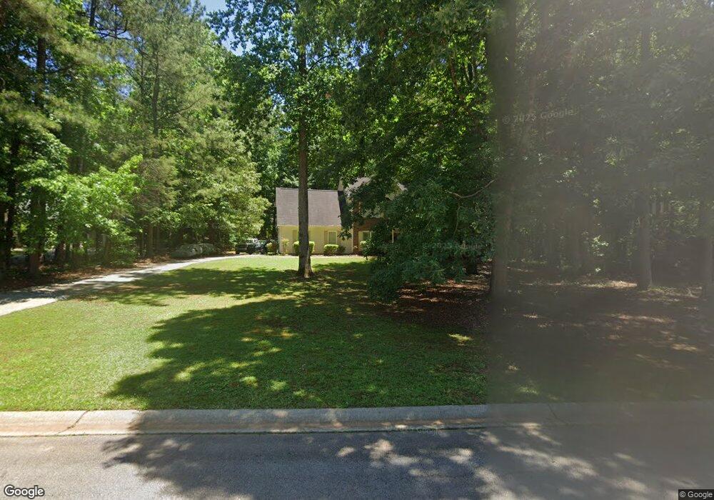
221 Wexford Dr Unit B Newnan, GA 30265
White Oak NeighborhoodEstimated Value: $334,283 - $369,000
3
Beds
3
Baths
1,898
Sq Ft
$188/Sq Ft
Est. Value
About This Home
This home is located at 221 Wexford Dr Unit B, Newnan, GA 30265 and is currently estimated at $356,071, approximately $187 per square foot. 221 Wexford Dr Unit B is a home located in Coweta County with nearby schools including White Oak Elementary School, Arnall Middle School, and East Coweta High School.
Ownership History
Date
Name
Owned For
Owner Type
Purchase Details
Closed on
May 30, 1997
Sold by
Flint Neil H and Flint Michele
Bought by
Menefee Margaret N
Current Estimated Value
Home Financials for this Owner
Home Financials are based on the most recent Mortgage that was taken out on this home.
Original Mortgage
$126,150
Outstanding Balance
$18,364
Interest Rate
8.18%
Mortgage Type
FHA
Estimated Equity
$337,707
Purchase Details
Closed on
Jul 28, 1994
Sold by
Lindsey Homes
Bought by
Flint Neil H and Flint Michelle
Home Financials for this Owner
Home Financials are based on the most recent Mortgage that was taken out on this home.
Original Mortgage
$123,650
Interest Rate
8.28%
Mortgage Type
Purchase Money Mortgage
Purchase Details
Closed on
Feb 10, 1994
Bought by
David Lindsey Homes
Purchase Details
Closed on
Jul 21, 1993
Bought by
The Player Group Inc
Purchase Details
Closed on
Jan 31, 1987
Bought by
Cato William C
Create a Home Valuation Report for This Property
The Home Valuation Report is an in-depth analysis detailing your home's value as well as a comparison with similar homes in the area
Home Values in the Area
Average Home Value in this Area
Purchase History
| Date | Buyer | Sale Price | Title Company |
|---|---|---|---|
| Menefee Margaret N | $130,000 | -- | |
| Flint Neil H | $130,200 | -- | |
| David Lindsey Homes | $86,000 | -- | |
| The Player Group Inc | $127,300 | -- | |
| Cato William C | -- | -- |
Source: Public Records
Mortgage History
| Date | Status | Borrower | Loan Amount |
|---|---|---|---|
| Open | Menefee Margaret N | $126,150 | |
| Previous Owner | Flint Neil H | $123,650 |
Source: Public Records
Tax History Compared to Growth
Tax History
| Year | Tax Paid | Tax Assessment Tax Assessment Total Assessment is a certain percentage of the fair market value that is determined by local assessors to be the total taxable value of land and additions on the property. | Land | Improvement |
|---|---|---|---|---|
| 2024 | $2,259 | $95,224 | $28,000 | $67,224 |
| 2023 | $2,259 | $77,446 | $18,000 | $59,446 |
| 2022 | $1,867 | $73,856 | $18,000 | $55,856 |
| 2021 | $1,935 | $71,695 | $18,000 | $53,695 |
| 2020 | $1,948 | $71,695 | $18,000 | $53,695 |
| 2019 | $1,999 | $66,661 | $10,000 | $56,661 |
| 2018 | $2,003 | $66,661 | $10,000 | $56,661 |
| 2017 | $2,002 | $66,661 | $10,000 | $56,661 |
| 2016 | $1,979 | $66,661 | $10,000 | $56,661 |
| 2015 | $1,853 | $63,410 | $10,000 | $53,410 |
| 2014 | $1,839 | $63,410 | $10,000 | $53,410 |
Source: Public Records
Map
Nearby Homes
- 45 Burwick Ct Unit 13
- 6 Leverett Dr Unit 17
- 14.54 ACRES Georgia 34
- 63A Georgia 34
- 280 Northcrest Dr
- 77 Springfield Ct
- 1018 Sullivan Rd
- 35 Pinehaven Dr
- 45 Sullivan Landing
- 25 Fawn Ridge
- 307 Daybreak Ln
- 107 Daybreak Ln
- 30 Village Ln
- 148 White Oak Dr
- 2342 Ga-34
- 2342 Highway 34 E
- 431 White Oak Dr
- 130 Shadowlake Trail
- 63 Clubview Dr
- 15 Torrey Pines Ct
- 225 Wexford Dr Unit B
- 171 Wexford Dr
- 0 Tramore Trace
- 214 Wexford Dr
- 0 Wexford Dr Unit 8645003
- 0 Wexford Dr Unit 8501540
- 0 Wexford Dr Unit 8157768
- 0 Wexford Dr Unit 8759766
- 0 Wexford Dr Unit 7020366
- 0 Wexford Dr Unit 7213123
- 0 Wexford Dr Unit 7288304
- 0 Wexford Dr Unit 7296960
- 0 Wexford Dr Unit 7461276
- 159 Wexford Dr
- 159 Wexford Dr Unit 13
- 210 Wexford Dr
- 243 Wexford Dr Unit B
- 232 Wexford Dr
- 194 Wexford Dr
- 184 Wexford Dr