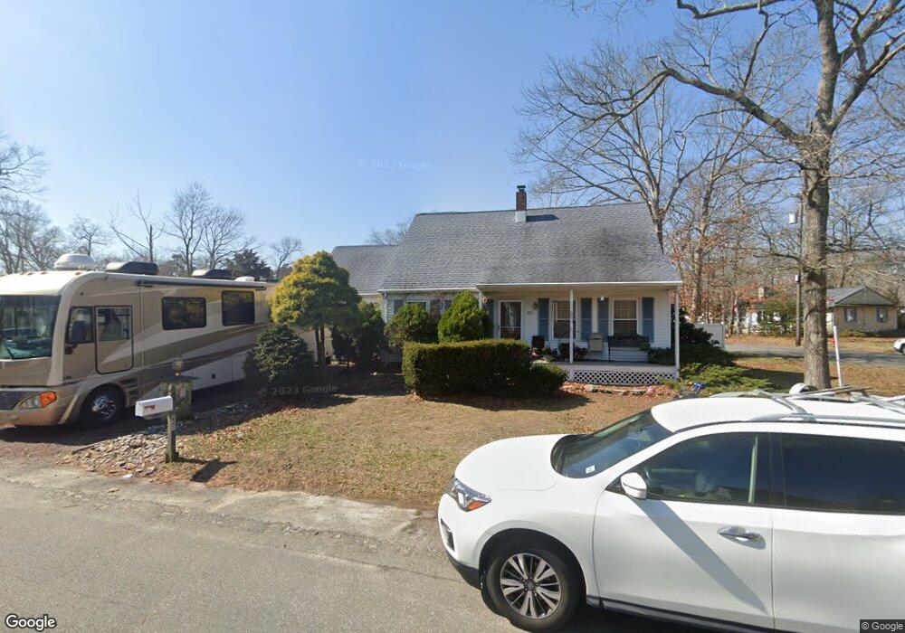
221 Williams St Forked River, NJ 08731
Estimated Value: $396,000 - $462,000
2
Beds
2
Baths
1,859
Sq Ft
$235/Sq Ft
Est. Value
About This Home
This home is located at 221 Williams St, Forked River, NJ 08731 and is currently estimated at $437,183, approximately $235 per square foot. 221 Williams St is a home located in Ocean County with nearby schools including Lacey Township High School.
Ownership History
Date
Name
Owned For
Owner Type
Purchase Details
Closed on
Jan 20, 2003
Sold by
Monaghan Kevin
Bought by
Dittenhofer Brian
Current Estimated Value
Home Financials for this Owner
Home Financials are based on the most recent Mortgage that was taken out on this home.
Original Mortgage
$149,000
Outstanding Balance
$63,982
Interest Rate
6.11%
Mortgage Type
Purchase Money Mortgage
Estimated Equity
$373,201
Purchase Details
Closed on
Jul 5, 2000
Sold by
H U D
Bought by
Monaghan Suzanne
Purchase Details
Closed on
Mar 12, 1998
Sold by
Girard Svgs Bank Fsb
Bought by
Monaghan Kevin and Marra Suzanne
Home Financials for this Owner
Home Financials are based on the most recent Mortgage that was taken out on this home.
Original Mortgage
$75,000
Interest Rate
6.92%
Mortgage Type
Purchase Money Mortgage
Purchase Details
Closed on
Oct 28, 1997
Sold by
Hagaman Thomas R and Hagaman Thomas R
Bought by
Girard Svgs Bank Fsb
Create a Home Valuation Report for This Property
The Home Valuation Report is an in-depth analysis detailing your home's value as well as a comparison with similar homes in the area
Home Values in the Area
Average Home Value in this Area
Purchase History
| Date | Buyer | Sale Price | Title Company |
|---|---|---|---|
| Dittenhofer Brian | $187,000 | -- | |
| Monaghan Suzanne | $45,530 | -- | |
| Monaghan Kevin | $90,000 | -- | |
| Girard Svgs Bank Fsb | -- | -- |
Source: Public Records
Mortgage History
| Date | Status | Borrower | Loan Amount |
|---|---|---|---|
| Open | Dittenhofer Brian | $149,000 | |
| Previous Owner | Monaghan Kevin | $75,000 | |
| Closed | Monaghan Suzanne | $0 |
Source: Public Records
Tax History
| Year | Tax Paid | Tax Assessment Tax Assessment Total Assessment is a certain percentage of the fair market value that is determined by local assessors to be the total taxable value of land and additions on the property. | Land | Improvement |
|---|---|---|---|---|
| 2025 | $5,694 | $224,700 | $86,500 | $138,200 |
| 2024 | $5,323 | $224,700 | $86,500 | $138,200 |
Source: Public Records
Map
Nearby Homes
- 321 Letts Ave
- 00 Lacey Rd
- 105 Shodda St
- 304 Shepard Ave
- 464 Penn Ave N
- 0 Lakeside Dr S Unit 22601319
- 502 Cyprus Ct
- 703 Cyprus Ct
- 406 Cyprus Ct
- 1223 Sylvania Place
- 000 Elwood St
- 1326 Leguene Ave
- 1216 Taylor Ln
- 23 Penn Place
- 1440 Leguene Ave
- 0000 Earie Way
- 576 Vaughn Ave
- 115 E Lacey Rd
- 504 Devoe Ave
- 102 Maria Loretta Ln
- 222 Williams St
- 226 Davis Ave
- 229 Lane Place
- 224 Davis Ave
- 224 Lane Place
- 230 Lane Place
- 233 Lane Place
- 223 Davis Ave
- 222 Lane Place
- 232 Davis Ave
- 234 Lane Place
- 231 Williams St
- 215 Williams St
- 229 Davis Ave
- 235 Lane Place
- 219 Davis Ave
- 238 Lane Place
- 237 Falkenburgh Ave
- 220 Lane Place
- 243 Falkenburgh Ave
Your Personal Tour Guide
Ask me questions while you tour the home.