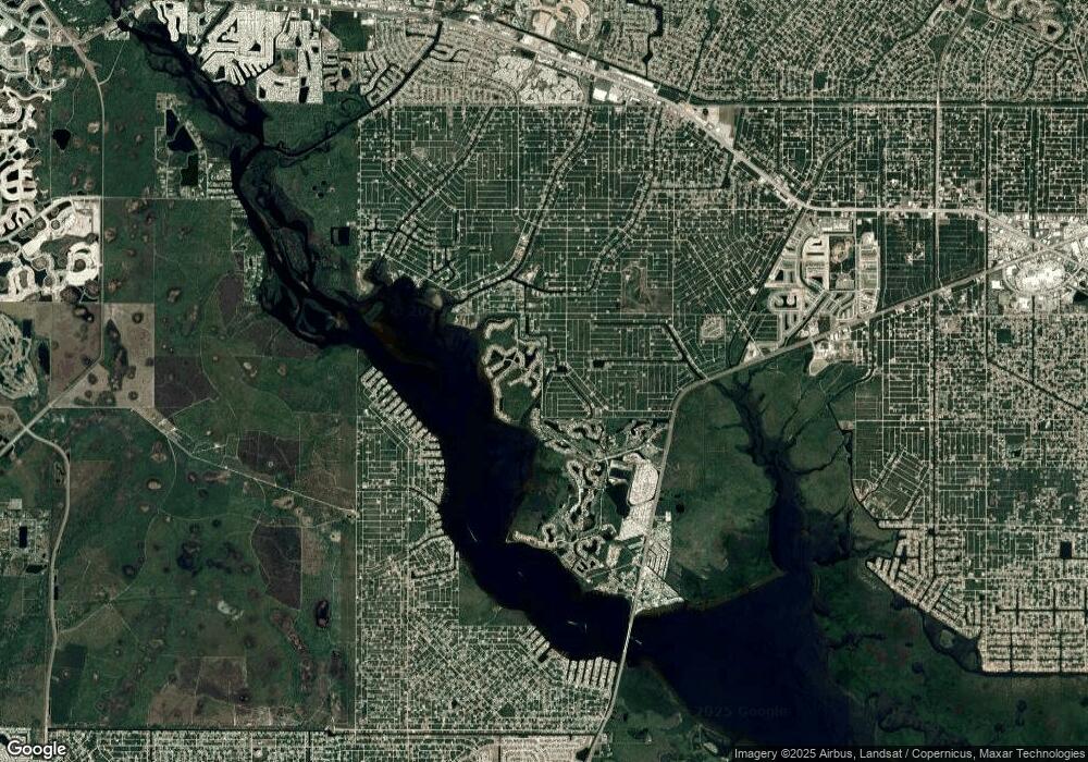
2210 McCleod St Port Charlotte, FL 33953
Northwest Port Charlotte NeighborhoodEstimated Value: $11,609 - $129,000
--
Bed
--
Bath
--
Sq Ft
0.31
Acres
About This Home
This home is located at 2210 McCleod St, Port Charlotte, FL 33953 and is currently estimated at $51,203. 2210 McCleod St is a home located in Charlotte County with nearby schools including Liberty Elementary School, Murdock Middle School, and Port Charlotte High School.
Ownership History
Date
Name
Owned For
Owner Type
Purchase Details
Closed on
Mar 14, 2019
Sold by
Curfs Mathijs H and Muller Gabrielle
Bought by
Alford Jeffrey
Current Estimated Value
Purchase Details
Closed on
May 1, 2016
Bought by
Curfs Mathijs H & G Muller Trs
Purchase Details
Closed on
Jul 6, 2005
Sold by
Gatron Corp
Bought by
Curfs Mathijs H A and Muller Garbrielle J E
Purchase Details
Closed on
Jun 7, 2005
Sold by
Sabados John
Bought by
Gatron Family Corp
Purchase Details
Closed on
Dec 14, 2004
Sold by
Sabados John and Estate Of Joseph L Sabados Sr
Bought by
Sabados John
Create a Home Valuation Report for This Property
The Home Valuation Report is an in-depth analysis detailing your home's value as well as a comparison with similar homes in the area
Home Values in the Area
Average Home Value in this Area
Purchase History
| Date | Buyer | Sale Price | Title Company |
|---|---|---|---|
| Alford Jeffrey | $7,500 | Florida Abstract & Security | |
| Curfs Mathijs H & G Muller Trs | $100 | -- | |
| Curfs Mathijs H A | $202,000 | -- | |
| Gatron Family Corp | $55,000 | -- | |
| Sabados John | -- | -- |
Source: Public Records
Tax History Compared to Growth
Tax History
| Year | Tax Paid | Tax Assessment Tax Assessment Total Assessment is a certain percentage of the fair market value that is determined by local assessors to be the total taxable value of land and additions on the property. | Land | Improvement |
|---|---|---|---|---|
| 2023 | $456 | $3,806 | $0 | $0 |
| 2022 | $427 | $9,350 | $9,350 | $0 |
| 2021 | $385 | $3,145 | $3,145 | $0 |
| 2020 | $383 | $3,570 | $3,570 | $0 |
| 2019 | $381 | $3,570 | $3,570 | $0 |
| 2018 | $371 | $3,315 | $3,315 | $0 |
| 2017 | $384 | $4,195 | $4,195 | $0 |
| 2016 | $380 | $4,016 | $0 | $0 |
| 2015 | $375 | $3,659 | $0 | $0 |
| 2014 | $273 | $3,632 | $0 | $0 |
Source: Public Records
Map
Nearby Homes
- 13436 Wade Dr
- 2668 Myakka Marsh Ln
- 13298 Scrub Jay Ct
- 2211 Hale St
- 13282 Scrub Jay Ct
- 2296 Hale St
- 2253 Beurket St
- 2125 Wood St
- 2336 Hale St
- 2669 Wax Myrtle Ct
- 2393 McPhearson Dr
- 2676 Wax Myrtle Ct
- 2269 Beurket St
- 2403 McPhearson Dr
- 13217 Scrub Jay Ct
- 2367 McPhearson Dr
- 2411 McPhearson Dr
- 13338-13330 Prentice Ave
- 13489 Walmsley Ave
- 2419 McPhearson Dr
- 2202 Mc Cleod St
- 2194 McCleod St
- 2221 Hale St
- 2611 Myakka Marsh Ln
- 2619 Myakka Marsh Ln
- 2186 McCleod St
- 2603 Myakka Marsh Ln
- McCleod Ave
- McCleod Ave
- McCleod Ave
- 2627 Myakka Marsh Ln
- 2246 Hale St
- 2183 Wood St
- 2635 Myakka Marsh Ln
- 13445 Pullen Ave
- 13419 Wade Dr
- 13410 Wade Dr
- 13445 Wade Dr
- 13435 Wade Dr
- 13420 Wade Dr
