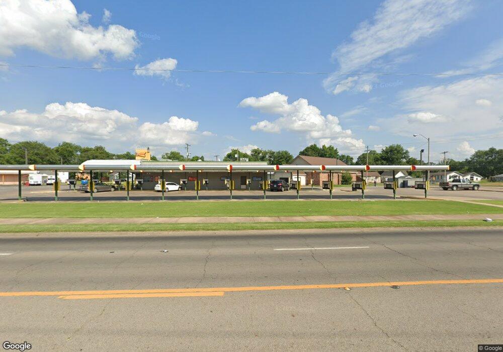
2210 Midland Blvd Fort Smith, AR 72904
Estimated Value: $595,322
--
Bed
2
Baths
1,602
Sq Ft
$372/Sq Ft
Est. Value
About This Home
This home is located at 2210 Midland Blvd, Fort Smith, AR 72904 and is currently estimated at $595,322, approximately $371 per square foot. 2210 Midland Blvd is a home located in Sebastian County with nearby schools including Sunnymede Elementary School, Dora Kimmons Junior High School, and Northside High School.
Ownership History
Date
Name
Owned For
Owner Type
Purchase Details
Closed on
Sep 16, 2011
Sold by
Perkins Robert J
Bought by
Jaboto Inc
Current Estimated Value
Home Financials for this Owner
Home Financials are based on the most recent Mortgage that was taken out on this home.
Original Mortgage
$140,000
Interest Rate
4.43%
Mortgage Type
Commercial
Purchase Details
Closed on
Feb 26, 2004
Bought by
Johnston Mary D Dobyns Lvg Tr
Create a Home Valuation Report for This Property
The Home Valuation Report is an in-depth analysis detailing your home's value as well as a comparison with similar homes in the area
Home Values in the Area
Average Home Value in this Area
Purchase History
| Date | Buyer | Sale Price | Title Company |
|---|---|---|---|
| Jaboto Inc | -- | None Available | |
| Perkins Robert J | $140,000 | Western Arkansas Title Svcs | |
| Johnston Mary D Dobyns Lvg Tr | -- | -- |
Source: Public Records
Mortgage History
| Date | Status | Borrower | Loan Amount |
|---|---|---|---|
| Closed | Jaboto Inc | $140,000 |
Source: Public Records
Tax History Compared to Growth
Tax History
| Year | Tax Paid | Tax Assessment Tax Assessment Total Assessment is a certain percentage of the fair market value that is determined by local assessors to be the total taxable value of land and additions on the property. | Land | Improvement |
|---|---|---|---|---|
| 2024 | $4,943 | $94,160 | $5,700 | $88,460 |
| 2023 | $5,467 | $94,160 | $5,700 | $88,460 |
| 2022 | $5,467 | $94,160 | $5,700 | $88,460 |
| 2021 | $5,467 | $94,160 | $5,700 | $88,460 |
| 2020 | $5,467 | $94,160 | $5,700 | $88,460 |
| 2019 | $5,502 | $94,760 | $5,700 | $89,060 |
| 2018 | $5,502 | $94,760 | $5,700 | $89,060 |
| 2017 | $4,975 | $94,760 | $5,700 | $89,060 |
| 2016 | $4,975 | $94,760 | $5,700 | $89,060 |
| 2015 | $4,975 | $94,760 | $5,700 | $89,060 |
| 2014 | $4,678 | $89,100 | $11,100 | $78,000 |
Source: Public Records
Map
Nearby Homes
- 2029 N 12th St
- 2216 N 28th St
- 1931 N 13th St
- 1809 N 14th St
- 1808 N 13th St
- 2400 Birnie Ave
- 2810 N R St
- TBD Short 7th St
- 1701 Short 7th St
- 2217 N 33rd St
- 2305 N 33rd St
- 2100 Birnie Ave
- 3401 N S St
- TBD Johnson St
- 2131 Churchill Rd
- TBD Birnie Ave
- 3709 Marshall Dr
- 1627 N 8th St
- 1625 N 8th St
- 1619 N 8th St
- 1119 Division St
- 2227 Midland Blvd
- 2221 Midland Blvd
- 2224 Midland Blvd
- 2223 Midland Blvd
- 2105 N 12th St
- 2034 Midland Blvd
- 2122 N 10th St
- 2204 N 27th St
- 2118 N 10th St
- 2210 N 27th St
- 2218 N 27th St
- 2215 N 10th St
- 2222 N 27th St
- 2217 N 10th St
- 2116 N 12th St
- 2221 N 10th St
- 2035 N 12th St
- 2205 N 10th St
- 2112 N 12th St