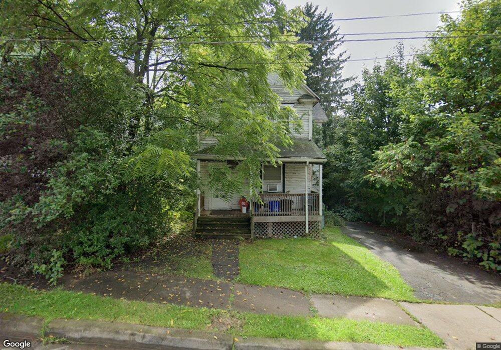
2210 Myrtle St Scranton, PA 18510
East Mountain NeighborhoodEstimated Value: $131,448 - $200,000
2
Beds
1
Bath
1,180
Sq Ft
$146/Sq Ft
Est. Value
About This Home
This home is located at 2210 Myrtle St, Scranton, PA 18510 and is currently estimated at $172,362, approximately $146 per square foot. 2210 Myrtle St is a home located in Lackawanna County with nearby schools including William Prescott School, Northeast Scranton Intermediate School, and Scranton High School.
Ownership History
Date
Name
Owned For
Owner Type
Purchase Details
Closed on
Aug 2, 2014
Sold by
Kromer Linda and Smith Michael J
Bought by
Kromer Linda
Current Estimated Value
Purchase Details
Closed on
Jul 30, 2012
Sold by
Kromer Linda
Bought by
Kromer Linda and Smith Michael J
Purchase Details
Closed on
Jun 21, 2012
Sold by
The Estate Of Dorothy E Schmidt and Smtih Cheryl
Bought by
Kromer Linda
Create a Home Valuation Report for This Property
The Home Valuation Report is an in-depth analysis detailing your home's value as well as a comparison with similar homes in the area
Home Values in the Area
Average Home Value in this Area
Purchase History
| Date | Buyer | Sale Price | Title Company |
|---|---|---|---|
| Kromer Linda | -- | None Available | |
| Kromer Linda | -- | None Available | |
| Kromer Linda | -- | None Available |
Source: Public Records
Tax History
| Year | Tax Paid | Tax Assessment Tax Assessment Total Assessment is a certain percentage of the fair market value that is determined by local assessors to be the total taxable value of land and additions on the property. | Land | Improvement |
|---|---|---|---|---|
| 2025 | $2,045 | $6,500 | $800 | $5,700 |
| 2024 | $1,866 | $6,500 | $800 | $5,700 |
| 2023 | $1,866 | $6,500 | $800 | $5,700 |
| 2022 | $1,825 | $6,500 | $800 | $5,700 |
| 2021 | $1,825 | $6,500 | $800 | $5,700 |
| 2020 | $1,790 | $6,500 | $800 | $5,700 |
| 2019 | $1,683 | $6,500 | $800 | $5,700 |
| 2018 | $1,683 | $6,500 | $800 | $5,700 |
| 2017 | $1,652 | $6,500 | $800 | $5,700 |
| 2016 | $474 | $6,500 | $800 | $5,700 |
| 2015 | $903 | $6,500 | $800 | $5,700 |
| 2014 | -- | $6,500 | $800 | $5,700 |
Source: Public Records
Map
Nearby Homes
- 837 Matthew Ave
- 944 Matthew Ave
- 0 Silkman Ave
- 105 Rhonda Dr
- 80 Elmhurst Blvd
- 1947 Myrtle St
- 1050 Mark Ave
- 19 Leslie Dr
- 200 Sand St
- 2211 Ash St
- 0 Colfax and Gibson Ave Unit GSBSC255175
- 619 Arthur Ave
- 617 Arthur Ave
- 810 Wheeler Ave
- 213 Karen Dr
- 812 Butler St
- 611 Chestnut St
- 929 Ridge Ave
- 0 Colfax Ave
- 218 Lake Scranton Rd
- 2212 Myrtle St Unit 2214
- 2214 Myrtle St
- 2216 Myrtle St
- 795 Matthew Ave
- 800 Matthew Ave Unit 802
- 2209 Myrtle St
- 2209 Myrtle St Unit Myrtle-9
- 2213 Myrtle St
- 804 Matthew Ave
- 810 Matthew Ave
- 798 Matthew Ave
- 806 Matthew Ave
- 815 Matthew Ave
- 817 Matthew Ave
- 819 Matthew Ave Unit 821
- 814 Matthew Ave
- 816 Matthew Ave
- 823 Matthew Ave Unit 25
- 2126 Myrtle St
- 820 Matthew Ave
Your Personal Tour Guide
Ask me questions while you tour the home.