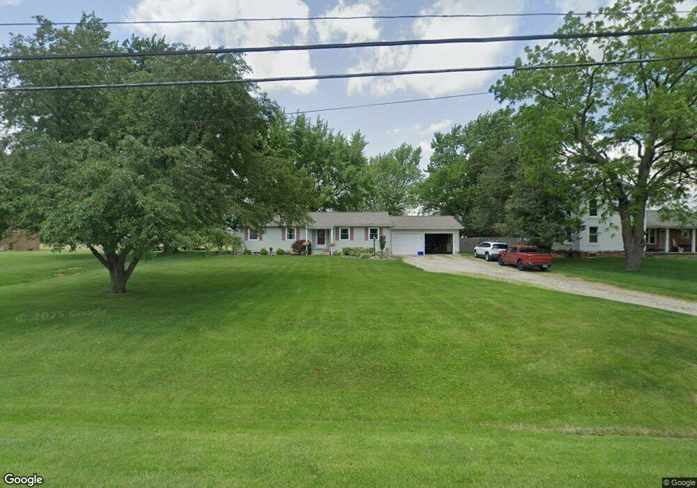
2210 N 5th St Fremont, OH 43420
Estimated Value: $182,000 - $228,504
3
Beds
2
Baths
1,654
Sq Ft
$129/Sq Ft
Est. Value
About This Home
This home is located at 2210 N 5th St, Fremont, OH 43420 and is currently estimated at $213,126, approximately $128 per square foot. 2210 N 5th St is a home located in Sandusky County with nearby schools including Fremont Ross High School, Bishop Hoffman Catholic School - This is St Joe's School now, and St. Joseph School.
Ownership History
Date
Name
Owned For
Owner Type
Purchase Details
Closed on
Dec 6, 2000
Sold by
Ayres Frederick A
Bought by
Fate David J and Fate Donna R
Current Estimated Value
Home Financials for this Owner
Home Financials are based on the most recent Mortgage that was taken out on this home.
Original Mortgage
$67,000
Outstanding Balance
$24,690
Interest Rate
7.7%
Mortgage Type
New Conventional
Estimated Equity
$188,436
Create a Home Valuation Report for This Property
The Home Valuation Report is an in-depth analysis detailing your home's value as well as a comparison with similar homes in the area
Home Values in the Area
Average Home Value in this Area
Purchase History
| Date | Buyer | Sale Price | Title Company |
|---|---|---|---|
| Fate David J | $117,000 | -- |
Source: Public Records
Mortgage History
| Date | Status | Borrower | Loan Amount |
|---|---|---|---|
| Open | Fate David J | $67,000 |
Source: Public Records
Tax History Compared to Growth
Tax History
| Year | Tax Paid | Tax Assessment Tax Assessment Total Assessment is a certain percentage of the fair market value that is determined by local assessors to be the total taxable value of land and additions on the property. | Land | Improvement |
|---|---|---|---|---|
| 2024 | $2,157 | $66,330 | $7,840 | $58,490 |
| 2023 | $2,125 | $53,070 | $6,270 | $46,800 |
| 2022 | $2,125 | $53,070 | $6,270 | $46,800 |
| 2021 | $2,191 | $53,070 | $6,270 | $46,800 |
| 2020 | $2,024 | $48,200 | $6,270 | $41,930 |
| 2019 | $2,021 | $48,200 | $6,270 | $41,930 |
| 2018 | $465 | $48,200 | $6,270 | $41,930 |
| 2017 | $1,872 | $44,390 | $6,270 | $38,120 |
| 2016 | $1,649 | $44,390 | $6,270 | $38,120 |
| 2015 | $1,622 | $44,390 | $6,270 | $38,120 |
| 2014 | $1,667 | $43,440 | $6,650 | $36,790 |
| 2013 | $1,631 | $43,440 | $6,650 | $36,790 |
Source: Public Records
Map
Nearby Homes
- 711 Bloom Rd
- 263 Saint Paul Dr
- 612 2nd St
- 251 Saint Paul Dr
- 315 Ethan Dr
- 318 Ethan Dr
- 533 Sandusky Ave Unit 535
- 1730 Port Clinton Rd Unit 41
- 1730 Port Clinton Rd
- 1730 Port Clinton Rd Unit 33
- 230 N Pennsylvania Ave
- 199 Saint Thomas Dr
- 433 Sandusky Ave
- 322 4th St
- 340 340 Sandusky Ave
- 714 E State St
- 2248 E State St
- 224 Sandusky Ave Unit 226
- 2100 Ohio 53
- 0 Sean Dr
- 2216 N 5th St
- 2180 N 5th St
- 2240 N 5th St
- 2215 N 5th St
- 2203 N 5th St
- 2129 N 5th St
- 1690 County Road 243
- 2119 N 5th St
- 2301 N 5th St
- 1715 County Road 243
- 1751 County Road 243
- 1636 County Road 243
- 1655 County Road 243
- 1655 County Road 243
- 1626 County Road 243
- 2163 Us Highway 6 E
- 1633 County Road 243
- 2100 N 5th St
- 2307 N 5th St
- 1631 Edwards Dr