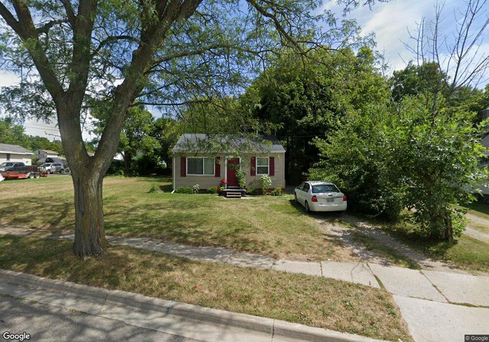
2210 N High St Lansing, MI 48906
Northside Lansing NeighborhoodEstimated Value: $69,000 - $85,000
2
Beds
1
Bath
624
Sq Ft
$122/Sq Ft
Est. Value
About This Home
This home is located at 2210 N High St, Lansing, MI 48906 and is currently estimated at $75,939, approximately $121 per square foot. 2210 N High St is a home located in Ingham County with nearby schools including Gier Park School, Pattengill Academy, and Eastern High School.
Ownership History
Date
Name
Owned For
Owner Type
Purchase Details
Closed on
May 16, 2011
Sold by
Usman Sam M
Bought by
Banks Antone T and Banks Susan M
Current Estimated Value
Purchase Details
Closed on
Nov 20, 2004
Sold by
Usman Sam M
Bought by
Ordiway Arthur G and Ordiway Valerie J
Purchase Details
Closed on
Dec 31, 1999
Sold by
First National Acceptance Company
Bought by
Usman Sam L and Usman Sam M
Purchase Details
Closed on
May 5, 1980
Bought by
Usman Sam M
Create a Home Valuation Report for This Property
The Home Valuation Report is an in-depth analysis detailing your home's value as well as a comparison with similar homes in the area
Home Values in the Area
Average Home Value in this Area
Purchase History
| Date | Buyer | Sale Price | Title Company |
|---|---|---|---|
| Banks Antone T | -- | None Available | |
| Ordiway Arthur G | -- | -- | |
| Usman Sam L | $14,000 | -- | |
| Usman Sam M | $14,000 | -- |
Source: Public Records
Tax History
| Year | Tax Paid | Tax Assessment Tax Assessment Total Assessment is a certain percentage of the fair market value that is determined by local assessors to be the total taxable value of land and additions on the property. | Land | Improvement |
|---|---|---|---|---|
| 2025 | $1,317 | $26,500 | $2,700 | $23,800 |
| 2024 | $10 | $21,300 | $2,700 | $18,600 |
| 2023 | $1,242 | $18,500 | $2,700 | $15,800 |
| 2022 | $1,138 | $16,700 | $2,800 | $13,900 |
| 2021 | $1,112 | $15,600 | $2,700 | $12,900 |
| 2020 | $1,104 | $15,000 | $2,700 | $12,300 |
| 2019 | $1,053 | $14,400 | $2,700 | $11,700 |
| 2018 | $939 | $11,200 | $2,700 | $8,500 |
| 2017 | $1,060 | $11,200 | $2,700 | $8,500 |
| 2016 | $5,872 | $11,100 | $2,700 | $8,400 |
| 2015 | $5,872 | $10,900 | $5,367 | $5,533 |
| 2014 | $5,872 | $10,800 | $5,367 | $5,433 |
Source: Public Records
Map
Nearby Homes
- 2112 N High St
- 2315 N High St
- 2318 N High St
- 0 Lake Lansing Rd Unit 289258
- 2012 New York Ave
- 715 Randall St
- 1810 N High St
- 1811 Vermont Ave
- 840 E Harris St
- 1704 Massachusetts Ave
- 1624 N High St
- 1919 N East St
- 810 Mckinley St
- 1530 New York Ave
- 1632 Ohio Ave
- 1527 Massachusetts Ave
- 1530 Ballard St
- 1522 Illinois Ave
- 331 Douglas Ave
- 1415 New York Ave
- 2212 N High St
- 2206 N High St
- 2220 N High St
- 55 N High St
- 2219 Rheamount Ave
- 2148 N High St
- 2223 Rheamount Ave
- 2229 Rheamount Ave
- 2304 N High St
- 2231 Rheamount Ave
- 57 N High St
- 1117 Lake Lansing Rd
- 2301 Rheamount Ave
- 1115 Lake Lansing Rd
- 2116 N High St
- 1113 Lake Lansing Rd
- 1113 Lake
- 2220 Rheamount Ave
- 1111 Lake Lansing Rd
- 2309 Rheamount Ave
Your Personal Tour Guide
Ask me questions while you tour the home.