Estimated Value: $321,000 - $429,539
3
Beds
2
Baths
864
Sq Ft
$455/Sq Ft
Est. Value
About This Home
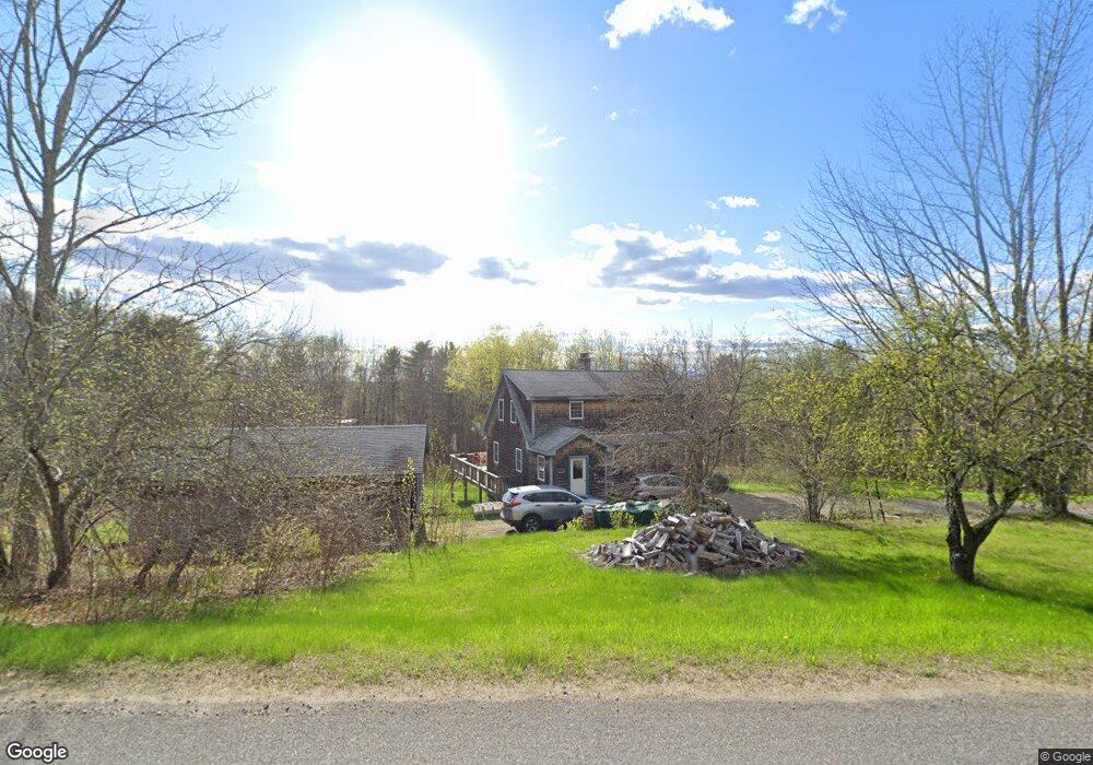
This home is located at 2210 N Union Rd, Union, ME 04862 and is currently estimated at $393,180, approximately $455 per square foot. 2210 N Union Rd is a home located in Knox County with nearby schools including Medomak Valley High School.
Ownership History
Date
Name
Owned For
Owner Type
Purchase Details
Closed on
Nov 7, 2005
Sold by
Hynd Timothy and Wallace Kimberly R
Bought by
Oprie Bethany A and Luther Thomas J
Current Estimated Value
Home Financials for this Owner
Home Financials are based on the most recent Mortgage that was taken out on this home.
Original Mortgage
$189,900
Outstanding Balance
$101,597
Interest Rate
5.85%
Mortgage Type
Purchase Money Mortgage
Estimated Equity
$291,583
Create a Home Valuation Report for This Property
The Home Valuation Report is an in-depth analysis detailing your home's value as well as a comparison with similar homes in the area
Home Values in the Area
Average Home Value in this Area
Purchase History
| Date | Buyer | Sale Price | Title Company |
|---|---|---|---|
| Oprie Bethany A | -- | -- |
Source: Public Records
Mortgage History
| Date | Status | Borrower | Loan Amount |
|---|---|---|---|
| Open | Oprie Bethany A | $189,900 |
Source: Public Records
Tax History Compared to Growth
Tax History
| Year | Tax Paid | Tax Assessment Tax Assessment Total Assessment is a certain percentage of the fair market value that is determined by local assessors to be the total taxable value of land and additions on the property. | Land | Improvement |
|---|---|---|---|---|
| 2025 | $5,601 | $421,100 | $81,500 | $339,600 |
| 2024 | $4,816 | $280,000 | $66,500 | $213,500 |
| 2023 | $4,340 | $280,000 | $66,500 | $213,500 |
| 2022 | $4,144 | $280,000 | $66,500 | $213,500 |
| 2021 | $4,085 | $225,700 | $50,900 | $174,800 |
| 2020 | $4,063 | $225,700 | $50,900 | $174,800 |
| 2019 | $4,130 | $225,700 | $50,900 | $174,800 |
| 2018 | $4,017 | $225,700 | $50,900 | $174,800 |
| 2017 | $3,553 | $224,900 | $50,900 | $174,000 |
| 2016 | $3,032 | $179,400 | $50,900 | $128,500 |
| 2015 | $2,906 | $179,400 | $50,900 | $128,500 |
| 2014 | $2,852 | $179,400 | $50,900 | $128,500 |
Source: Public Records
Map
Nearby Homes
- TBD Brookside Ln
- 1060 Appleton Rd
- 603 Shepard Hill Rd
- 759 Collinstown Rd
- 325 Calderwood Rd
- 84 Dewmar Ln
- 00 W Appleton Rd
- Lot #26 Sennebec Rd
- 1879 Sennebec Rd
- 2305 Burkettville Rd
- 49 Liberty Rd
- 1420 Collinstown Rd
- 37 Shepard Hill Rd
- 21 Shepard Hill Rd
- 425 Sennebec Rd
- 20 Searsmont Rd
- 1583 Appleton Ridge Rd
- 262 Waldoboro Rd
- 2529 Heald Hwy
- 48 Calderwood Rd