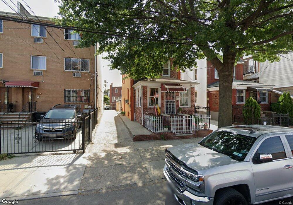
2210 Newbold Ave Bronx, NY 10462
Unionport NeighborhoodEstimated Value: $626,065 - $734,000
--
Bed
--
Bath
1,386
Sq Ft
$499/Sq Ft
Est. Value
About This Home
This home is located at 2210 Newbold Ave, Bronx, NY 10462 and is currently estimated at $692,016, approximately $499 per square foot. 2210 Newbold Ave is a home located in Bronx County with nearby schools including P.S. 36 Unionport, Herbert H Lehman High School, and Santa Maria School.
Ownership History
Date
Name
Owned For
Owner Type
Purchase Details
Closed on
Jul 14, 2016
Sold by
Singh Gavin
Bought by
Persaud Sandy
Current Estimated Value
Purchase Details
Closed on
Dec 26, 2006
Sold by
Dianand Deoranie and Dianand Ramesh
Bought by
Singh Gavin
Purchase Details
Closed on
Apr 14, 2005
Sold by
Yusuf Bibi and Yusuf Mohamed
Bought by
Dianand Deoranie and Dianand Ramesh
Home Financials for this Owner
Home Financials are based on the most recent Mortgage that was taken out on this home.
Original Mortgage
$200,000
Interest Rate
6.01%
Mortgage Type
Purchase Money Mortgage
Create a Home Valuation Report for This Property
The Home Valuation Report is an in-depth analysis detailing your home's value as well as a comparison with similar homes in the area
Home Values in the Area
Average Home Value in this Area
Purchase History
| Date | Buyer | Sale Price | Title Company |
|---|---|---|---|
| Persaud Sandy | $50,000 | -- | |
| Singh Gavin | $50,000 | -- | |
| Dianand Deoranie | $350,000 | -- |
Source: Public Records
Mortgage History
| Date | Status | Borrower | Loan Amount |
|---|---|---|---|
| Previous Owner | Dianand Deoranie | $200,000 |
Source: Public Records
Tax History Compared to Growth
Tax History
| Year | Tax Paid | Tax Assessment Tax Assessment Total Assessment is a certain percentage of the fair market value that is determined by local assessors to be the total taxable value of land and additions on the property. | Land | Improvement |
|---|---|---|---|---|
| 2025 | $6,477 | $34,180 | $8,352 | $25,828 |
| 2024 | $6,477 | $32,246 | $8,266 | $23,980 |
| 2023 | $6,212 | $30,586 | $7,779 | $22,807 |
| 2022 | $5,893 | $32,700 | $9,720 | $22,980 |
| 2021 | $5,994 | $31,740 | $9,720 | $22,020 |
| 2020 | $5,897 | $31,980 | $9,720 | $22,260 |
| 2019 | $5,621 | $30,300 | $9,720 | $20,580 |
| 2018 | $5,196 | $25,488 | $8,976 | $16,512 |
| 2017 | $5,015 | $24,600 | $9,720 | $14,880 |
| 2016 | $1,752 | $23,736 | $8,860 | $14,876 |
| 2015 | $991 | $23,736 | $9,494 | $14,242 |
| 2014 | $991 | $22,394 | $10,749 | $11,645 |
Source: Public Records
Map
Nearby Homes
- 2209 Ellis Ave
- 2131 Newbold Ave
- 1218 Havemeyer Ave
- 1315 Purdy St
- 1163 Havemeyer Ave
- 1170 Havemeyer Ave
- 1428 Doris St
- 2328 Ellis Ave
- 2164 Cross Bronx Expy
- 2343 Gleason Ave
- 2354 Waterbury Ave
- 2356 Waterbury Ave
- 2059 Mcgraw Ave Unit 6A
- 2055 Mcgraw Ave Unit 4G
- 2049 Mcgraw Ave Unit 6H
- 2016 Haviland Ave
- 2267 Bruckner Blvd
- 1335 Herschell St
- 2131 Bruckner Blvd
- 1521 Unionport Rd Unit 11G
- 2214 Newbold Ave
- 2216 Newbold Ave
- 2208 Newbold Ave
- 2220 Newbold Ave
- 2222 Newbold Ave
- 1244 Castle Hill Ave
- 1246 Castle Hill Ave
- 2213 Ellis Ave
- 1242 Castle Hill Ave
- 2211 Ellis Ave
- 2217 Ellis Ave
- 2226 Newbold Ave
- 1248 Castle Hill Ave
- 2221 Ellis Ave
- 1238 Castle Hill Ave Unit 1
- 1238 Castle Hill Ave
- 1236 Castle Hill Ave
- 2228 Newbold Ave
- 2223 Ellis Ave
- 1234 Castle Hill Ave