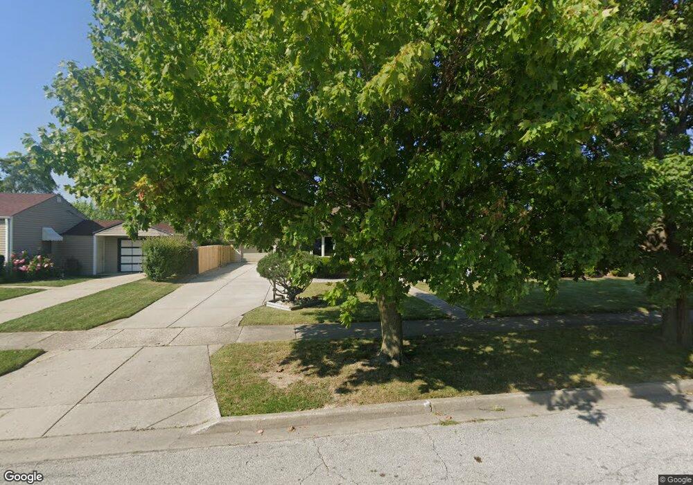
2210 Pearsall Pkwy Waukegan, IL 60085
Norshore Park NeighborhoodEstimated Value: $210,000 - $253,000
3
Beds
1
Bath
1,124
Sq Ft
$208/Sq Ft
Est. Value
About This Home
This home is located at 2210 Pearsall Pkwy, Waukegan, IL 60085 and is currently estimated at $233,952, approximately $208 per square foot. 2210 Pearsall Pkwy is a home located in Lake County with nearby schools including Clearview Elementary School, John R Lewis Middle School, and Waukegan High School.
Ownership History
Date
Name
Owned For
Owner Type
Purchase Details
Closed on
Jun 29, 2023
Sold by
Rosas Alejandro R
Bought by
Rosas Alejandro R
Current Estimated Value
Purchase Details
Closed on
Aug 27, 2022
Sold by
Rosas Jr Alejandro R
Bought by
Rosas Alejandro R
Purchase Details
Closed on
Sep 25, 2012
Sold by
Brown Bruce H and Brown Donna R
Bought by
Rosas Alejandro R
Home Financials for this Owner
Home Financials are based on the most recent Mortgage that was taken out on this home.
Original Mortgage
$91,575
Interest Rate
3.75%
Mortgage Type
FHA
Create a Home Valuation Report for This Property
The Home Valuation Report is an in-depth analysis detailing your home's value as well as a comparison with similar homes in the area
Home Values in the Area
Average Home Value in this Area
Purchase History
| Date | Buyer | Sale Price | Title Company |
|---|---|---|---|
| Rosas Alejandro R | -- | None Listed On Document | |
| Rosas Alejandro R | -- | -- | |
| Rosas Alejandro R | $95,000 | First American Title |
Source: Public Records
Mortgage History
| Date | Status | Borrower | Loan Amount |
|---|---|---|---|
| Previous Owner | Rosas Alejandro R | $91,575 |
Source: Public Records
Tax History Compared to Growth
Tax History
| Year | Tax Paid | Tax Assessment Tax Assessment Total Assessment is a certain percentage of the fair market value that is determined by local assessors to be the total taxable value of land and additions on the property. | Land | Improvement |
|---|---|---|---|---|
| 2024 | $3,798 | $56,379 | $11,679 | $44,700 |
| 2023 | $3,576 | $48,282 | $10,002 | $38,280 |
| 2022 | $3,576 | $42,584 | $8,673 | $33,911 |
| 2021 | $3,775 | $42,212 | $8,597 | $33,615 |
| 2020 | $3,778 | $39,325 | $8,009 | $31,316 |
| 2019 | $3,749 | $36,035 | $7,339 | $28,696 |
| 2018 | $3,340 | $32,216 | $9,444 | $22,772 |
| 2017 | $3,201 | $28,502 | $8,355 | $20,147 |
| 2016 | $2,900 | $24,767 | $7,260 | $17,507 |
| 2015 | $2,731 | $22,167 | $6,498 | $15,669 |
| 2014 | $3,898 | $28,576 | $6,920 | $21,656 |
| 2012 | $3,194 | $30,960 | $7,497 | $23,463 |
Source: Public Records
Map
Nearby Homes
- 819 S Fulton Ave
- 1712 11th St
- 12601 W Atlantic Ave
- 2116 & 2101 Williamsburg Dr
- 2726 W Hidden Glen Dr
- 1511 14th St
- 3027 Belvidere Rd
- 910 Cummings Ave
- 446 S Jackson St
- 671 Oldsmar Ln
- 1244 Victoria Ave
- 3159 Jeanette Ave
- 49 S Lewis Ave
- 1521 Seymour Ave
- 815 Prescott St
- 724 10th St
- 1521 Catalpa Ave
- 1210 Park Ave
- 1617 Grove Ave
- 631 8th St
- 2212 Pearsall Pkwy
- 2204 Pearsall Pkwy
- 2218 Pearsall Pkwy
- 2200 Pearsall Pkwy
- 2211 8th Pkwy
- 2213 8th Pkwy
- 2205 8th Pkwy
- 2122 Pearsall Pkwy
- 2211 Pearsall Pkwy
- 2213 Pearsall Pkwy
- 710 Carney Ave
- 2205 Pearsall Pkwy
- 2121 8th Pkwy
- 2219 Pearsall Pkwy
- 2201 Pearsall Pkwy
- 2118 Pearsall Pkwy
- 2228 Pearsall Pkwy
- 2121 Pearsall Pkwy
- 2119 8th Pkwy
- 2227 8th Pkwy