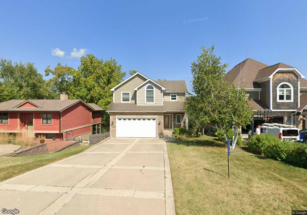
22102 121st St Bristol, WI 53104
Estimated Value: $609,290 - $761,000
3
Beds
4
Baths
2,844
Sq Ft
$245/Sq Ft
Est. Value
About This Home
This home is located at 22102 121st St, Bristol, WI 53104 and is currently estimated at $695,573, approximately $244 per square foot. 22102 121st St is a home located in Kenosha County with nearby schools including Salem Elementary School and Central High School.
Ownership History
Date
Name
Owned For
Owner Type
Purchase Details
Closed on
Dec 16, 2011
Sold by
Fassbinder Robert M and Fassbinder Karen D
Bought by
Aust Peter T
Current Estimated Value
Purchase Details
Closed on
Mar 8, 2011
Sold by
Fikri Kareem
Bought by
Fassbainder Robert M and Fassbainder Karen D
Purchase Details
Closed on
Feb 4, 2011
Sold by
Hetland Jonah P
Bought by
Fikri Kareem
Purchase Details
Closed on
Dec 22, 2006
Sold by
Hetland Jonah P
Bought by
Hetland Jonah P
Purchase Details
Closed on
Oct 31, 2005
Sold by
Henson Sabina M
Bought by
Hetland Jonah P
Home Financials for this Owner
Home Financials are based on the most recent Mortgage that was taken out on this home.
Original Mortgage
$45,000
Interest Rate
6.04%
Mortgage Type
Unknown
Create a Home Valuation Report for This Property
The Home Valuation Report is an in-depth analysis detailing your home's value as well as a comparison with similar homes in the area
Home Values in the Area
Average Home Value in this Area
Purchase History
| Date | Buyer | Sale Price | Title Company |
|---|---|---|---|
| Aust Peter T | $290,000 | -- | |
| Fassbainder Robert M | $260,000 | -- | |
| Fikri Kareem | $174,500 | -- | |
| Hetland Jonah P | $337,600 | -- | |
| Hetland Jonah P | $45,000 | -- | |
| Hetland Jonah | $45,000 | Blackhawk Title Services |
Source: Public Records
Mortgage History
| Date | Status | Borrower | Loan Amount |
|---|---|---|---|
| Previous Owner | Hetland Jonah | $45,000 |
Source: Public Records
Tax History Compared to Growth
Tax History
| Year | Tax Paid | Tax Assessment Tax Assessment Total Assessment is a certain percentage of the fair market value that is determined by local assessors to be the total taxable value of land and additions on the property. | Land | Improvement |
|---|---|---|---|---|
| 2024 | $7,391 | $513,400 | $66,200 | $447,200 |
| 2023 | $7,176 | $513,400 | $66,200 | $447,200 |
| 2022 | $6,806 | $406,400 | $56,400 | $350,000 |
| 2021 | $6,918 | $406,400 | $56,400 | $350,000 |
| 2020 | $6,622 | $358,100 | $54,800 | $303,300 |
| 2019 | $6,453 | $358,100 | $54,800 | $303,300 |
| 2018 | $5,125 | $262,100 | $44,500 | $217,600 |
| 2017 | $5,517 | $262,100 | $44,500 | $217,600 |
| 2016 | $5,323 | $237,400 | $41,100 | $196,300 |
| 2015 | $4,672 | $237,400 | $41,100 | $196,300 |
| 2014 | -- | $232,300 | $37,700 | $194,600 |
Source: Public Records
Map
Nearby Homes
- 11621 224th Ave
- 21605 117th St
- 22727 126th St
- 12725 228th Ave
- 12789 228th Ave
- 11736 231st Ct
- Lt35 128th St
- 12290 233rd Ave
- 198 Bridgewood Dr
- 188 Oakwood Dr
- 12719 234th Ave
- 23607 125th St
- 11207 234th Ct
- 324 Elmwood Ln
- 394 Birchwood Dr
- 11825 243rd Ave
- 42909 N Deep Lake Rd
- 602 Anita Ave
- 24412 118th St
- 45 Van Dyke Dr
- 22104 121st St
- 22096 121st St
- 22115 121st St
- 22014 121st St
- 12110 221st Ave
- 22112 121st St
- 22057 121st St
- 12105 221st Ave
- 12116 221st Ave
- 12111 222nd Ave
- 22055 121st St
- 12119 222nd Ave
- 22151 120th St
- 22113 120th St
- 12124 221st Ave
- 12123 221st Ave
- 22200 121st St
- 12125 222nd Ave
- 12122 222nd Ave
- 12128 221st Ave