Estimated Value: $197,000 - $259,812
4
Beds
1
Bath
1,824
Sq Ft
$131/Sq Ft
Est. Value
About This Home
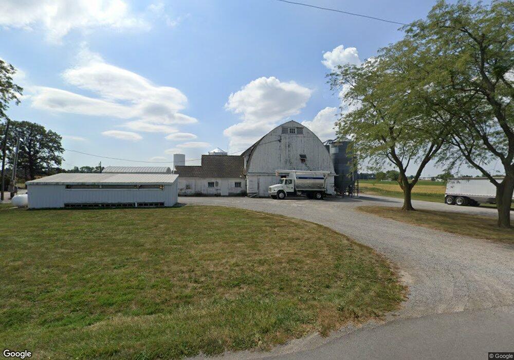
This home is located at 2211 Beery Rd, Lima, OH 45807 and is currently estimated at $239,453, approximately $131 per square foot. 2211 Beery Rd is a home located in Allen County with nearby schools including Elida Elementary School, Elida Middle School, and Elida High School.
Ownership History
Date
Name
Owned For
Owner Type
Purchase Details
Closed on
Apr 26, 2012
Sold by
King Alvin and King Karen
Bought by
King Galen
Current Estimated Value
Purchase Details
Closed on
Apr 15, 1998
Sold by
Cook Everett
Bought by
King Alvina and King Karen
Purchase Details
Closed on
Nov 18, 1996
Sold by
Laura Cook Trst
Bought by
Cook Donald and Cook Mary
Purchase Details
Closed on
Oct 3, 1996
Sold by
Est Orvin Cook
Bought by
Everett Cook
Purchase Details
Closed on
Aug 26, 1996
Sold by
Est Orvin Cook
Bought by
Walter Cook and Kenneth
Purchase Details
Closed on
Jun 14, 1996
Sold by
Est Orvin Cook
Bought by
Harry Cook
Create a Home Valuation Report for This Property
The Home Valuation Report is an in-depth analysis detailing your home's value as well as a comparison with similar homes in the area
Purchase History
| Date | Buyer | Sale Price | Title Company |
|---|---|---|---|
| King Galen | -- | Attorney | |
| King Alvina | $100,000 | -- | |
| Cook Donald | $66,222 | -- | |
| Everett Cook | $33,111 | -- | |
| Walter Cook | $99,999 | -- | |
| Harry Cook | $66,222 | -- |
Source: Public Records
Tax History
| Year | Tax Paid | Tax Assessment Tax Assessment Total Assessment is a certain percentage of the fair market value that is determined by local assessors to be the total taxable value of land and additions on the property. | Land | Improvement |
|---|---|---|---|---|
| 2024 | $3,613 | $85,300 | $25,590 | $59,710 |
| 2023 | $2,929 | $61,810 | $18,550 | $43,260 |
| 2022 | $2,976 | $61,810 | $18,550 | $43,260 |
| 2021 | $2,991 | $61,810 | $18,550 | $43,260 |
| 2020 | $2,759 | $52,540 | $17,220 | $35,320 |
| 2019 | $2,759 | $52,540 | $17,220 | $35,320 |
| 2018 | $2,792 | $52,540 | $17,220 | $35,320 |
| 2017 | $2,464 | $47,500 | $16,800 | $30,700 |
| 2016 | $2,469 | $47,500 | $16,800 | $30,700 |
| 2015 | $2,533 | $47,500 | $16,800 | $30,700 |
| 2014 | $2,533 | $46,770 | $16,350 | $30,420 |
| 2013 | $2,281 | $46,770 | $16,350 | $30,420 |
Source: Public Records
Map
Nearby Homes
- 0 Fraunfelter Unit 307817
- 0 N Eastown Rd Unit 1034495
- 1743 Sherry Lee Dr
- 2718 Carolyn Dr
- 2630 Carolyn Dr
- 0 Thorndyke Dr
- 3137 Thorndyke Dr
- 2275 N Cable Rd Unit 178
- 2275 N Cable Rd Unit 130
- 2275 N Cable Rd Unit 43 Unit Package
- 2275 N Cable Rd Unit 42
- 2275 N Cable Rd Unit 12
- 2275 N Cable Rd Unit 24
- 2275 N Cable Rd Unit 1
- 2275 N Cable Rd
- 2275 N Cable Rd Unit 97
- 2275 N Cable Rd Unit 137
- 2275 N Cable Rd Unit 6
- 2225 N Cable Rd
- 2113 Kimberly Dr
Your Personal Tour Guide
Ask me questions while you tour the home.