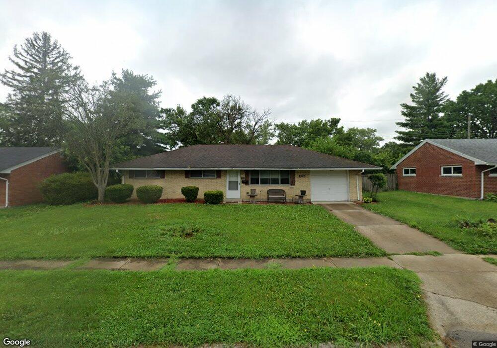
2211 Burnside Dr Dayton, OH 45439
Woodbourne-Hyde Park NeighborhoodEstimated Value: $174,000 - $196,000
3
Beds
1
Bath
1,080
Sq Ft
$170/Sq Ft
Est. Value
About This Home
This home is located at 2211 Burnside Dr, Dayton, OH 45439 and is currently estimated at $183,712, approximately $170 per square foot. 2211 Burnside Dr is a home located in Montgomery County with nearby schools including West Carrollton High School, Miami Valley Academies, and Bishop Leibold School.
Ownership History
Date
Name
Owned For
Owner Type
Purchase Details
Closed on
Apr 22, 2021
Sold by
Dcwi 29 Llc
Bought by
Vb One Llc
Current Estimated Value
Purchase Details
Closed on
Nov 16, 2004
Sold by
Wright Donald C and Wright Gayle
Bought by
Dcwi-29 Llc
Create a Home Valuation Report for This Property
The Home Valuation Report is an in-depth analysis detailing your home's value as well as a comparison with similar homes in the area
Home Values in the Area
Average Home Value in this Area
Purchase History
| Date | Buyer | Sale Price | Title Company |
|---|---|---|---|
| Vb One Llc | $2,900,000 | Total Title Services Llc | |
| Dcwi-29 Llc | -- | None Available |
Source: Public Records
Tax History
| Year | Tax Paid | Tax Assessment Tax Assessment Total Assessment is a certain percentage of the fair market value that is determined by local assessors to be the total taxable value of land and additions on the property. | Land | Improvement |
|---|---|---|---|---|
| 2025 | $3,866 | $52,710 | $7,820 | $44,890 |
| 2024 | $3,768 | $52,710 | $7,820 | $44,890 |
| 2023 | $3,768 | $52,710 | $7,820 | $44,890 |
| 2022 | $3,273 | $35,380 | $5,250 | $30,130 |
| 2021 | $2,457 | $28,550 | $5,250 | $23,300 |
| 2020 | $2,461 | $28,550 | $5,250 | $23,300 |
| 2019 | $2,605 | $26,470 | $5,250 | $21,220 |
| 2018 | $2,440 | $26,470 | $5,250 | $21,220 |
| 2017 | $2,427 | $26,470 | $5,250 | $21,220 |
| 2016 | $2,467 | $26,030 | $5,250 | $20,780 |
| 2015 | $2,300 | $26,030 | $5,250 | $20,780 |
| 2014 | $2,300 | $26,030 | $5,250 | $20,780 |
| 2012 | -- | $26,250 | $10,500 | $15,750 |
Source: Public Records
Map
Nearby Homes
- 4304 Harbison St
- 4518 Harbison St
- 1952 Tait Circle Rd
- 2090 Mattis Dr
- 4445 Moraine Ridge Ln
- 4301 Tait Rd
- 5100 Oak Ave
- 4792 Loxley Dr
- 4207 S Dixie Dr
- 1764 Lanbury Dr
- 3865 Endover Rd
- 4935 Cordell Dr
- 3929 Fulton Ave
- 2369 Polo Park Dr
- 5117 Pensacola Blvd
- 5048 Oak Manor Ct
- 4400 Royal Ridge Way
- 3401 Dryden Rd
- 5458 Lamme Rd Unit F5458
- 713 Murrell Dr
- 2199 Burnside Dr
- 2225 Burnside Dr
- 2198 Finland Dr
- 2208 Finland Dr
- 2182 Finland Dr
- 2183 Burnside Dr
- 2235 Burnside Dr
- 2214 Burnside Dr
- 2202 Burnside Dr
- 2218 Finland Dr
- 2228 Burnside Dr
- 2168 Finland Dr
- 2190 Burnside Dr
- 2255 Burnside Dr
- 2171 Burnside Dr
- 2240 Burnside Dr
- 2176 Burnside Dr
- 2228 Finland Dr
- 2154 Finland Dr
- 2199 Finland Dr
Your Personal Tour Guide
Ask me questions while you tour the home.