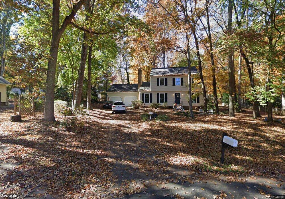
2211 Cannonade Ct Matthews, NC 28105
Estimated Value: $339,000 - $445,000
4
Beds
3
Baths
2,090
Sq Ft
$191/Sq Ft
Est. Value
About This Home
This home is located at 2211 Cannonade Ct, Matthews, NC 28105 and is currently estimated at $399,152, approximately $190 per square foot. 2211 Cannonade Ct is a home located in Mecklenburg County with nearby schools including Mint Hill Middle School, Butler High School, and Matthews Charter Academy.
Ownership History
Date
Name
Owned For
Owner Type
Purchase Details
Closed on
Nov 29, 2023
Sold by
Tah 2017-2 Borrower Llc
Bought by
Tricon Sfr 2023-2 Borrower Llc
Current Estimated Value
Purchase Details
Closed on
May 30, 2012
Sold by
Raymond Mitchell K and Raymond Karen M
Bought by
Title Insurance Com
Purchase Details
Closed on
Feb 2, 2004
Sold by
Conseco Finance Servicing Corp
Bought by
Quicklink + Capital Llc
Purchase Details
Closed on
Nov 4, 2002
Sold by
Watts William James and Watts Sharon D
Bought by
Conseco Finance Servicing Corp
Create a Home Valuation Report for This Property
The Home Valuation Report is an in-depth analysis detailing your home's value as well as a comparison with similar homes in the area
Home Values in the Area
Average Home Value in this Area
Purchase History
| Date | Buyer | Sale Price | Title Company |
|---|---|---|---|
| Tricon Sfr 2023-2 Borrower Llc | -- | Os National Title | |
| Title Insurance Com | $134,500 | None Available | |
| Quicklink + Capital Llc | $116,000 | Chicago Title Insurance Comp | |
| Conseco Finance Servicing Corp | $119,629 | -- |
Source: Public Records
Tax History
| Year | Tax Paid | Tax Assessment Tax Assessment Total Assessment is a certain percentage of the fair market value that is determined by local assessors to be the total taxable value of land and additions on the property. | Land | Improvement |
|---|---|---|---|---|
| 2025 | $2,539 | $332,100 | $90,000 | $242,100 |
| 2024 | $2,539 | $332,100 | $90,000 | $242,100 |
| 2023 | $2,501 | $332,100 | $90,000 | $242,100 |
| 2022 | $2,081 | $223,900 | $54,000 | $169,900 |
| 2021 | $2,081 | $223,900 | $54,000 | $169,900 |
| 2020 | $2,048 | $223,900 | $54,000 | $169,900 |
| 2019 | $2,042 | $223,900 | $54,000 | $169,900 |
| 2018 | $1,976 | $165,400 | $38,500 | $126,900 |
| 2017 | $1,936 | $165,400 | $38,500 | $126,900 |
| 2016 | $1,932 | $165,400 | $38,500 | $126,900 |
| 2015 | $1,929 | $165,400 | $38,500 | $126,900 |
| 2014 | $1,893 | $165,700 | $35,000 | $130,700 |
Source: Public Records
Map
Nearby Homes
- 2909 Oakcroft Dr
- 2411 Kimway Dr
- 2415 Kimway Dr
- 2033 Kimway Dr
- 5153 Blackberry Ln
- 14010 Mareshead Ln
- 13627 Tranquil Day Dr
- 3210 Timber Mill Dr
- 2343 Mount Harmony Church Rd
- 13730 Capriole Ln
- 5016 Cherry Gum Ct Unit 46
- 5012 Cherry Gum Ct Unit 45
- 3144 Butler Hill Dr
- 5008 Cherry Gum Ct Unit 44
- 5004 Cherry Gum Ct Unit 46
- 3140 Butler Hill Dr Unit 23
- 5025 Cherry Gum Ct Unit 47
- 3136 Butler Hill Dr
- 3132 Butler Hill Dr
- 3123 Glenn Hope Way
- 14122 Mill House Dr
- 14117 Phillips Rd
- 14116 Mill House Dr
- 2201 Cannonade Ct
- 14125 Phillips Rd
- 14109 Phillips Rd
- 14200 Mill House Dr
- 14101 Phillips Rd
- 14133 Phillips Rd
- 2200 Cannonade Ct
- 14108 Mill House Dr
- 14035 Phillips Rd
- 14201 Phillips Rd
- 14201 Mill House Dr
- 13825 Portpatrick Ln
- 14105 Mill House Dr
- 14100 Mill House Dr
- 14220 Buckton Ln
- 13826 Portpatrick Ln
- 14027 Phillips Rd
Your Personal Tour Guide
Ask me questions while you tour the home.