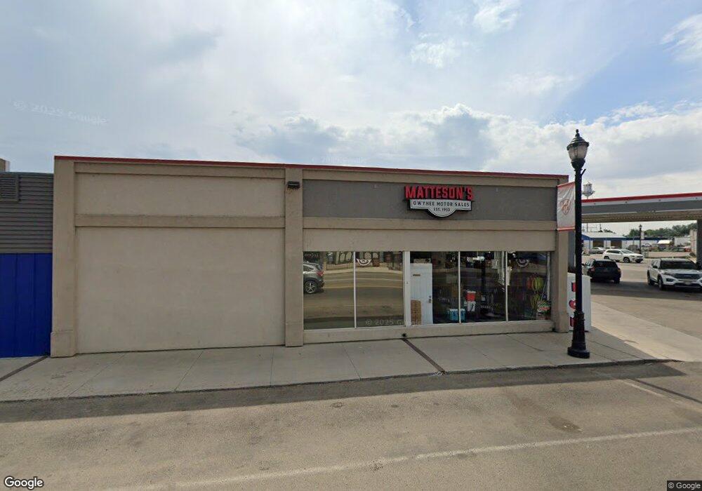
2211 Eric Ln Homedale, ID 83628
Estimated Value: $924,000 - $1,165,068
3
Beds
3
Baths
3,686
Sq Ft
$288/Sq Ft
Est. Value
About This Home
This home is located at 2211 Eric Ln, Homedale, ID 83628 and is currently estimated at $1,061,689, approximately $288 per square foot. 2211 Eric Ln is a home with nearby schools including Homedale Elementary School, Homedale Middle School, and Homedale High School.
Ownership History
Date
Name
Owned For
Owner Type
Purchase Details
Closed on
Dec 8, 2010
Sold by
Hopkins Western Fund Llc
Bought by
Hall Kenneth L
Current Estimated Value
Home Financials for this Owner
Home Financials are based on the most recent Mortgage that was taken out on this home.
Original Mortgage
$200,000
Interest Rate
8.75%
Mortgage Type
Future Advance Clause Open End Mortgage
Create a Home Valuation Report for This Property
The Home Valuation Report is an in-depth analysis detailing your home's value as well as a comparison with similar homes in the area
Home Values in the Area
Average Home Value in this Area
Purchase History
| Date | Buyer | Sale Price | Title Company |
|---|---|---|---|
| Hall Kenneth L | -- | -- |
Source: Public Records
Mortgage History
| Date | Status | Borrower | Loan Amount |
|---|---|---|---|
| Closed | Hall Kenneth L | $200,000 |
Source: Public Records
Tax History Compared to Growth
Tax History
| Year | Tax Paid | Tax Assessment Tax Assessment Total Assessment is a certain percentage of the fair market value that is determined by local assessors to be the total taxable value of land and additions on the property. | Land | Improvement |
|---|---|---|---|---|
| 2024 | -- | $925,476 | $169,026 | $756,450 |
| 2023 | $4,520 | $925,926 | $169,026 | $756,900 |
| 2022 | $5,094 | $888,626 | $169,026 | $719,600 |
| 2021 | $3,951 | $620,733 | $152,603 | $468,130 |
| 2020 | $3,304 | $520,806 | $114,222 | $406,584 |
| 2019 | $3,505 | $473,358 | $114,222 | $359,136 |
| 2018 | $3,311 | $434,390 | $95,186 | $339,204 |
| 2017 | $1,950 | $434,390 | $95,186 | $339,204 |
| 2016 | $1,765 | $273,484 | $75,376 | $198,108 |
| 2014 | $1,349 | $183,917 | $45,614 | $138,303 |
| 2011 | -- | $210,053 | $45,834 | $164,219 |
Source: Public Records
Map
Nearby Homes
- TBD
- 318 Packer Ln
- 531 W Idaho Ave
- 2462 Succor Creek Rd
- 501 W California Ave
- TBD Pioneer Rd
- 428 W Montana Ave
- TBD L1 W Idaho Ave
- TBD W Idaho Ave
- TBD Succor Creek Rd
- 412 W Oregon Ave
- 328 W Owyhee Ave
- TBD River Rd
- 1212 River Rd
- 330 Packer Ln
- 315 W Montana Ave
- 4243 Homestead Rd
- 101 W Utah Ave
- 207 N Main St
- TBD Ustick Rd Parcel 3
- 2175 Lee Ln
- 2478 State Highway 19
- 2477 State Highway 19
- 2657 State Highway 19
- 2603 State Highway 19
- 1452 N State Line Rd
- 2818 State Highway 19
- 1425 Tobias Ln
- 3058 Purdom Ln
- 2905 State Highway 19
- 2965 State Highway 19
- 2349 State Highway 19
- 3044 Purdom Ln
- 3151 Gulley Rd
- 3028 Middle State Line Rd
- 3098 Purdom Ln
- 3120 Purdom Ln
- 3237 Purdom Ln
- 2424 Valley View Ln
- 2201 State Highway 19
