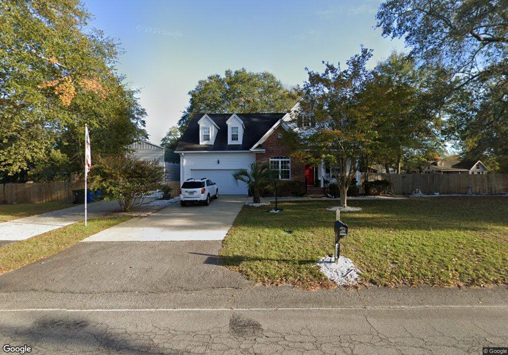
2211 Morningside Dr West Columbia, SC 29169
Estimated Value: $277,000 - $302,000
4
Beds
3
Baths
1,925
Sq Ft
$150/Sq Ft
Est. Value
About This Home
This home is located at 2211 Morningside Dr, West Columbia, SC 29169 and is currently estimated at $288,805, approximately $150 per square foot. 2211 Morningside Dr is a home located in Lexington County with nearby schools including Riverbank Elementary, Northside Middle, and Brookland-Cayce High School.
Ownership History
Date
Name
Owned For
Owner Type
Purchase Details
Closed on
Jan 17, 2025
Sold by
Mclendon Kathryn
Bought by
Moyer John P
Current Estimated Value
Home Financials for this Owner
Home Financials are based on the most recent Mortgage that was taken out on this home.
Original Mortgage
$125,000
Outstanding Balance
$124,112
Interest Rate
6.69%
Mortgage Type
New Conventional
Estimated Equity
$164,693
Purchase Details
Closed on
May 4, 2021
Sold by
Presnell Michael
Bought by
Mclendon Kathryn
Create a Home Valuation Report for This Property
The Home Valuation Report is an in-depth analysis detailing your home's value as well as a comparison with similar homes in the area
Home Values in the Area
Average Home Value in this Area
Purchase History
| Date | Buyer | Sale Price | Title Company |
|---|---|---|---|
| Moyer John P | $280,000 | None Listed On Document | |
| Moyer John P | $280,000 | None Listed On Document | |
| Mclendon Kathryn | $169,900 | Presnell Michael |
Source: Public Records
Mortgage History
| Date | Status | Borrower | Loan Amount |
|---|---|---|---|
| Open | Moyer John P | $125,000 | |
| Closed | Moyer John P | $125,000 |
Source: Public Records
Tax History Compared to Growth
Tax History
| Year | Tax Paid | Tax Assessment Tax Assessment Total Assessment is a certain percentage of the fair market value that is determined by local assessors to be the total taxable value of land and additions on the property. | Land | Improvement |
|---|---|---|---|---|
| 2024 | $1,011 | $7,042 | $1,400 | $5,642 |
| 2023 | $845 | $7,042 | $1,400 | $5,642 |
| 2022 | $864 | $7,042 | $1,400 | $5,642 |
| 2020 | $906 | $7,042 | $1,400 | $5,642 |
| 2019 | $780 | $6,593 | $1,400 | $5,193 |
| 2018 | $771 | $6,593 | $1,400 | $5,193 |
| 2017 | $729 | $6,593 | $1,400 | $5,193 |
| 2016 | $760 | $6,593 | $1,400 | $5,193 |
| 2014 | $565 | $6,632 | $1,400 | $5,232 |
| 2013 | -- | $6,630 | $1,400 | $5,230 |
Source: Public Records
Map
Nearby Homes
- 529 Finnegan Ln
- 623 Hook Ave
- 500 Finnegan Ln
- 0 Platt Springs Rd Unit 606355
- 165 Cavendish Dr
- 0 Sunset Blvd Unit 553428
- 2004 Dew Ave
- 207 Woodhaven Dr
- 215 Sandel Ln
- 913 Harper Rose Ct
- 1715 Gilvie Ave
- 235 Harvest Glen Ln
- 161 Weeping Oak Ln
- 108 Harvest Glen Ln
- 100 Double Branch Ct
- 617 Holland Cir
- 1513 Gambrell St
- 108 Double Branch Ct
- 13 Janice Fe Trail
- 7 Janice Fe Trail
- 117 Emanuel Dr
- 131 Emanuel Drives
- 131 Emanuel Dr
- 844 Hook Ave
- 113 Emanuel Dr
- 900 Hook Ave
- 107 Emanuel Dr
- 105 Emanuel Dr
- 902 Hook Ave
- 101 Emanuel Dr
- 101 Congaree Mill Ln
- 122 Emanuel Dr
- 130 Emanuel Dr
- 236 Congaree Mill Ln
- 108 Congaree Mill Ln
- 105 Congaree Mill Ln
- 233 Congaree Mill Ln
- 118 Emanuel Dr
- 232 Congaree Mill Ln
- 112 Congaree Mill Ln