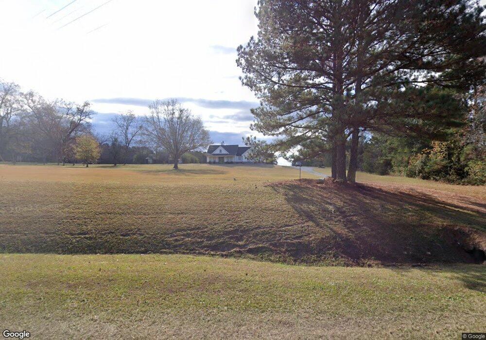
2211 Washington Hwy Union Point, GA 30669
Estimated Value: $338,000 - $587,000
--
Bed
1
Bath
2,140
Sq Ft
$205/Sq Ft
Est. Value
About This Home
This home is located at 2211 Washington Hwy, Union Point, GA 30669 and is currently estimated at $437,681, approximately $204 per square foot. 2211 Washington Hwy is a home with nearby schools including Greene County High School.
Ownership History
Date
Name
Owned For
Owner Type
Purchase Details
Closed on
Aug 21, 2021
Sold by
Cronic Mary E
Bought by
Bell Shane Lee and Bell Allison Nicole
Current Estimated Value
Purchase Details
Closed on
Apr 1, 2015
Sold by
Cronic Jeffrey T
Bought by
Cronic Mary E
Purchase Details
Closed on
Sep 30, 2014
Sold by
Cronic Jeffrey T
Bought by
Cronic Jeffrey T and Cronic Rebecca M
Purchase Details
Closed on
Nov 14, 2007
Sold by
Cronic Jeffrey and Cronic Rebecca
Bought by
Cronic Jeffrey and Cronic Rebecca
Purchase Details
Closed on
Feb 3, 2004
Sold by
Cronic David H and Cronic Dorothy M
Bought by
Cronic Jeffrey and Cronic Rebecca
Create a Home Valuation Report for This Property
The Home Valuation Report is an in-depth analysis detailing your home's value as well as a comparison with similar homes in the area
Home Values in the Area
Average Home Value in this Area
Purchase History
| Date | Buyer | Sale Price | Title Company |
|---|---|---|---|
| Bell Shane Lee | -- | -- | |
| Cronic Mary E | -- | -- | |
| Cronic Jeffrey T | -- | -- | |
| Cronic Jeffrey | -- | -- | |
| Cronic Jeffrey | -- | -- |
Source: Public Records
Tax History Compared to Growth
Tax History
| Year | Tax Paid | Tax Assessment Tax Assessment Total Assessment is a certain percentage of the fair market value that is determined by local assessors to be the total taxable value of land and additions on the property. | Land | Improvement |
|---|---|---|---|---|
| 2024 | $2,744 | $161,240 | $6,320 | $154,920 |
| 2023 | $2,589 | $150,000 | $4,760 | $145,240 |
| 2022 | $89 | $3,680 | $3,680 | $0 |
| 2021 | $94 | $3,680 | $3,680 | $0 |
| 2020 | $50 | $1,240 | $1,240 | $0 |
| 2019 | $54 | $1,240 | $1,240 | $0 |
| 2018 | $54 | $1,240 | $1,240 | $0 |
| 2017 | $52 | $1,265 | $1,265 | $0 |
| 2016 | $52 | $1,265 | $1,265 | $0 |
| 2015 | $26 | $1,264 | $1,265 | $0 |
| 2014 | $27 | $1,265 | $1,265 | $0 |
Source: Public Records
Map
Nearby Homes
- 1860 Washington Hwy
- 0 Woodland Ct Unit 1027434
- 0 Woodland Ct Unit 10543600
- 504 Crawfordville Rd
- 606 Bryan Ave
- 324 N Rhodes St
- 202 Veazey St
- 0 Buffalo Lick Rd Unit 10551328
- 1201 Buffalo Lick Rd
- 0 Buffalo Lick Rd Unit 10551325
- 0 Buffalo Lick Rd Unit 10551234
- 1010 Orear Rd
- 1041 Hillcrest Dr
- 1180 Moody St
- 0 S Rhodes St Unit 10618488
- 0 Washington Hwy Unit 7276060
- 1241 Old Siloam Rd
- 1251 Adams Rd
- 0 Cato Rd Unit 10525284
- 0 Old Union Point Rd Unit 1 10557753
- 2251 Washington Hwy
- 2161 Washington Hwy
- 2291 Washington Hwy
- 2021 Washington Hwy
- 1960 Washington Hwy
- 2520 Washington Hwy
- 1920 Washington Hwy
- 1990 Washington Hwy
- 2241 Washington Hwy
- 1661 N Rhodes St
- 1690 N Rhodes St
- 1690 N Rhodes St
- 2661 Washington Hwy
- 1771 Washington Hwy
- 1620 N Rhodes St
- 1561 N Rhodes St
- 1630 N Rhodes St
- 1570 N Rhodes St
- 1551 N Rhodes St
- 1770 Jacksonville Rd