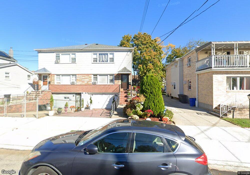
22115 135th Ave Springfield Gardens, NY 11413
Laurelton NeighborhoodEstimated Value: $706,313 - $840,000
--
Bed
--
Bath
1,634
Sq Ft
$483/Sq Ft
Est. Value
About This Home
This home is located at 22115 135th Ave, Springfield Gardens, NY 11413 and is currently estimated at $788,828, approximately $482 per square foot. 22115 135th Ave is a home located in Queens County with nearby schools including Cynthia Jenkins School, Collaborative Arts Middle School, and Merrick Academy Charter School.
Ownership History
Date
Name
Owned For
Owner Type
Purchase Details
Closed on
Nov 30, 2022
Sold by
Grissett Grace
Bought by
Curtis Lamont Grissett Trustee and Grace Grissett Irrevocable Living Trust
Current Estimated Value
Purchase Details
Closed on
Jan 9, 2003
Sold by
Grissett Grace and Severin Sybil D
Bought by
Grissett Grace
Create a Home Valuation Report for This Property
The Home Valuation Report is an in-depth analysis detailing your home's value as well as a comparison with similar homes in the area
Home Values in the Area
Average Home Value in this Area
Purchase History
| Date | Buyer | Sale Price | Title Company |
|---|---|---|---|
| Curtis Lamont Grissett Trustee | -- | -- | |
| Curtis Lamont Grissett Trustee | -- | -- | |
| Grissett Grace | -- | -- | |
| Grissett Grace | -- | -- |
Source: Public Records
Mortgage History
| Date | Status | Borrower | Loan Amount |
|---|---|---|---|
| Closed | Grissett Grace | $0 |
Source: Public Records
Tax History Compared to Growth
Tax History
| Year | Tax Paid | Tax Assessment Tax Assessment Total Assessment is a certain percentage of the fair market value that is determined by local assessors to be the total taxable value of land and additions on the property. | Land | Improvement |
|---|---|---|---|---|
| 2025 | $7,337 | $39,139 | $9,968 | $29,171 |
| 2024 | $7,349 | $37,930 | $10,669 | $27,261 |
| 2023 | $7,079 | $36,646 | $11,478 | $25,168 |
| 2022 | $4,961 | $43,860 | $13,080 | $30,780 |
| 2021 | $6,568 | $36,360 | $13,080 | $23,280 |
| 2020 | $6,608 | $36,600 | $13,080 | $23,520 |
| 2019 | $6,319 | $32,580 | $13,080 | $19,500 |
| 2018 | $5,928 | $30,538 | $12,778 | $17,760 |
| 2017 | $5,573 | $28,810 | $12,315 | $16,495 |
| 2016 | $5,124 | $28,810 | $12,315 | $16,495 |
| 2015 | $3,080 | $27,360 | $12,564 | $14,796 |
| 2014 | $3,080 | $26,340 | $14,520 | $11,820 |
Source: Public Records
Map
Nearby Homes
- 134-15 221st St
- 220-24 134th Rd
- 13512 223rd St
- 223-12 134th Rd
- 22111 136th Ave
- 22019 135th Ave
- 13538 223rd St
- 136-18 221st St
- 136-3 220th St
- 133-15 220th St
- 136-29 220th Place
- 135-28 226th St
- 133-23 225th St
- 22023 137th Ave
- 218-36 133rd Rd
- 137-26 224th St
- 133-22 226th St
- 137-28 220th St
- 135-06 228th St
- 21608 Merrick Blvd
- 22111 135th Ave
- 22119 135th Ave
- 221-19 135th Ave
- 221-07 135th Ave
- 22107 135th Ave
- 22107 135th Ave
- 22121 135th Ave
- 221-15 222 St
- 22105 135th Ave
- 22124 134th Rd
- 22116 134th Rd
- 221-12 134th Rd
- 22126 134th Rd
- 22112 134th Rd
- 22103 135th Ave
- 22128 134th Rd
- 22114 135th Ave
- 22108 134th Rd
- 22110 135th Ave
- 22110 135th Ave