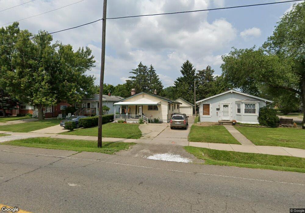
22116 Wick Rd Taylor, MI 48180
Estimated Value: $162,000 - $195,000
Studio
--
Bath
1,008
Sq Ft
$174/Sq Ft
Est. Value
About This Home
This home is located at 22116 Wick Rd, Taylor, MI 48180 and is currently estimated at $174,897, approximately $173 per square foot. 22116 Wick Rd is a home located in Wayne County with nearby schools including Clarence Randall Elementary School, Robert J. West Middle School, and Taylor High School.
Ownership History
Date
Name
Owned For
Owner Type
Purchase Details
Closed on
Apr 28, 2016
Sold by
Treasurer City Of Taylor
Bought by
Garrasi Living Trust
Current Estimated Value
Purchase Details
Closed on
Aug 26, 2015
Sold by
Wayne County Treasurer
Bought by
Treasurer City Of Taylor
Purchase Details
Closed on
Sep 3, 2010
Sold by
Garrasi Catherine and Garrasi Alfred J
Bought by
Garrasi Catherine and The Catherine Garrasi Revocabl
Create a Home Valuation Report for This Property
The Home Valuation Report is an in-depth analysis detailing your home's value as well as a comparison with similar homes in the area
Home Values in the Area
Average Home Value in this Area
Purchase History
| Date | Buyer | Sale Price | Title Company |
|---|---|---|---|
| Garrasi Living Trust | $3,700 | Attorney | |
| Treasurer City Of Taylor | $3,700 | None Available | |
| Garrasi Catherine | -- | None Available |
Source: Public Records
Tax History
| Year | Tax Paid | Tax Assessment Tax Assessment Total Assessment is a certain percentage of the fair market value that is determined by local assessors to be the total taxable value of land and additions on the property. | Land | Improvement |
|---|---|---|---|---|
| 2025 | $2,750 | $89,000 | $0 | $0 |
| 2024 | $2,670 | $82,500 | $0 | $0 |
| 2023 | $2,985 | $75,500 | $0 | $0 |
| 2022 | $2,512 | $65,800 | $0 | $0 |
| 2021 | $1,973 | $59,500 | $0 | $0 |
| 2020 | $1,953 | $52,000 | $0 | $0 |
| 2019 | $195,337 | $45,700 | $0 | $0 |
| 2018 | $2,205 | $36,500 | $0 | $0 |
| 2017 | $810 | $35,400 | $0 | $0 |
| 2016 | $8 | $0 | $0 | $0 |
| 2015 | $3,759 | $38,000 | $0 | $0 |
| 2013 | $3,740 | $38,600 | $0 | $0 |
| 2012 | $1,603 | $37,600 | $16,000 | $21,600 |
Source: Public Records
Map
Nearby Homes
- 22134 Wick Rd
- 22185 Wick Rd
- 22311 Wick Rd
- 8935 Lincoln St
- 22327 Wick Rd
- 22137 Haskell St
- 8944 William St
- 8953 William St
- 22150 Haig St
- 9640 Dudley St
- 9560 Sylvester St
- 22726 Haskell St
- 8411 Monroe Blvd
- 9651 Blaty St
- 8245 Roosevelt St
- 21059 Wick Rd
- 9883 Roosevelt St
- 9942 Lincoln St
- 8236 Margaret St
- 8071 Roosevelt St
- 22122 Wick Rd
- 22108 Wick Rd
- 9064 Roosevelt St
- 22046 Wick Rd
- 22144 Wick Rd
- 22038 Wick Rd
- 9210 Roosevelt St
- 9095 Mckinley St
- 22154 Wick Rd
- 22030 Wick Rd
- 9081 Roosevelt St
- 22149 Wick Rd
- 9054 Roosevelt St
- 9211 Roosevelt St
- 9230 Roosevelt St
- 9073 Roosevelt St
- 22022 Wick Rd
- 22163 Wick Rd
- 9044 Roosevelt St
- 9065 Roosevelt St
Your Personal Tour Guide
Ask me questions while you tour the home.