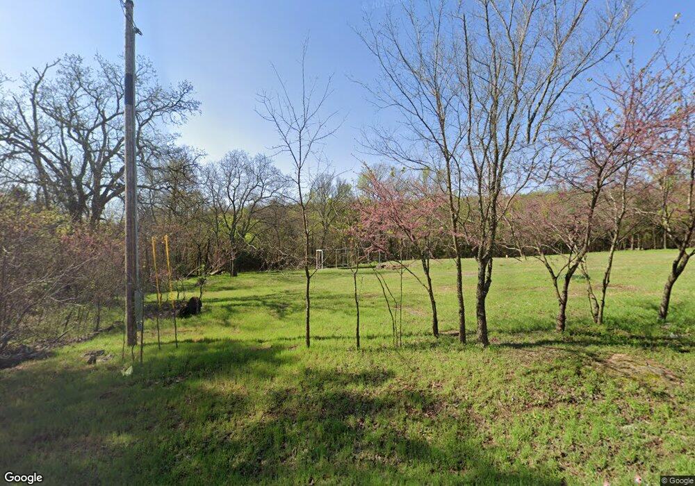
22117 W 888 Rd Cookson, OK 74427
Estimated Value: $33,722 - $262,000
3
Beds
2
Baths
1,456
Sq Ft
$101/Sq Ft
Est. Value
About This Home
This home is located at 22117 W 888 Rd, Cookson, OK 74427 and is currently estimated at $146,931, approximately $100 per square foot. 22117 W 888 Rd is a home located in Cherokee County with nearby schools including Tenkiller Public School.
Ownership History
Date
Name
Owned For
Owner Type
Purchase Details
Closed on
Aug 28, 2019
Sold by
Schlesinger Amy M
Bought by
Spurlin Revocable Living Trust
Current Estimated Value
Purchase Details
Closed on
Mar 5, 2012
Sold by
Caddell Boone Brandi
Bought by
Schlesunjer Amay M
Purchase Details
Closed on
Apr 1, 2002
Sold by
Jim and Waneta Talburt
Bought by
Rivas F and Rivas Hail J
Purchase Details
Closed on
Aug 1, 2001
Sold by
Federal National Mortgage
Bought by
Jim and Waneta Talburt
Purchase Details
Closed on
Aug 23, 2000
Sold by
James and Cindy Collins
Bought by
Federal National Mortgage
Create a Home Valuation Report for This Property
The Home Valuation Report is an in-depth analysis detailing your home's value as well as a comparison with similar homes in the area
Purchase History
| Date | Buyer | Sale Price | Title Company |
|---|---|---|---|
| Spurlin Revocable Living Trust | $16,500 | None Available | |
| Schlesunjer Amay M | -- | None Available | |
| Rivas F | $27,000 | -- | |
| Jim | -- | -- | |
| Federal National Mortgage | -- | -- |
Source: Public Records
Tax History Compared to Growth
Tax History
| Year | Tax Paid | Tax Assessment Tax Assessment Total Assessment is a certain percentage of the fair market value that is determined by local assessors to be the total taxable value of land and additions on the property. | Land | Improvement |
|---|---|---|---|---|
| 2025 | $236 | $3,300 | $3,300 | $0 |
| 2024 | $236 | $3,300 | $3,300 | $0 |
| 2023 | $236 | $3,300 | $3,300 | $0 |
| 2022 | $130 | $1,815 | $1,762 | $53 |
| 2021 | $130 | $1,815 | $1,762 | $53 |
| 2020 | $130 | $1,815 | $1,762 | $53 |
| 2019 | $43 | $603 | $550 | $53 |
| 2018 | $43 | $603 | $550 | $53 |
| 2017 | $43 | $603 | $550 | $53 |
| 2016 | $47 | $664 | $550 | $114 |
| 2015 | $46 | $664 | $550 | $114 |
| 2014 | $46 | $664 | $550 | $114 |
Source: Public Records
Map
Nearby Homes
- 30998 S Molly Brown Rd
- 30487 S 552 Rd
- 21595 W 888 Rd
- 7829300 State Highway 82
- 13129300 State Highway 82
- 6629300 State Highway 82
- 5029300 State Highway 82
- 7729300 State Highway 82
- 13029300 State Highway 82
- 7929300 State Highway 82
- 4429300 State Highway 82
- 30000 Hummingbird Ln
- 21245 W 888 Rd
- 0000 Stones Throw
- 0 S Hickory Ln Unit 2522684
- 0 S Hickory Ln Unit 2547515
- 21331 W Cookson Bend Rd
- 32617 S 543 Rd
- 0 S 546 Rd
- 6 W 867 Rd
- 22211 W 888 Rd
- 22198 W 888 Rd
- 30850 S 550 Rd
- 30998 S Molly Brown Mountain Rd
- 30812 S 550 Rd
- 0 E Molly Brown Rd Unit 1612031
- 30756 S 550 Rd
- 22025 W 888 Rd
- 30728 S 550 Rd
- 22022 W 888 Rd
- 30702 S 550 Rd
- 0 W Timberway Dr Unit 1016834
- 0 W Timberway Dr Unit 725993
- 0 W Timberway Dr Unit 802993
- 0 W Timberway Dr Unit 2105002
- 30607 S 550 Rd
- 21927 W Timberway Dr
- 31047 S Molly Brown Rd
- 30632 S 550 Rd
- 31000 S Molly Brown Mountain Rd
