2212 Demaray Dr Grants Pass, OR 97527
Redwood NeighborhoodEstimated Value: $430,742 - $462,000
3
Beds
2
Baths
1,612
Sq Ft
$277/Sq Ft
Est. Value
About This Home
This home is located at 2212 Demaray Dr, Grants Pass, OR 97527 and is currently estimated at $446,371, approximately $276 per square foot. 2212 Demaray Dr is a home located in Josephine County with nearby schools including Allen Dale Elementary School, South Middle School, and Grants Pass High School.
Ownership History
Date
Name
Owned For
Owner Type
Purchase Details
Closed on
Jan 25, 2021
Sold by
Baskins Brittany N and Jones Brittany N
Bought by
Baskins Bill
Current Estimated Value
Home Financials for this Owner
Home Financials are based on the most recent Mortgage that was taken out on this home.
Original Mortgage
$144,200
Outstanding Balance
$104,608
Interest Rate
2.67%
Mortgage Type
New Conventional
Estimated Equity
$341,763
Purchase Details
Closed on
Aug 31, 2017
Sold by
Brown Jereal D
Bought by
Baskins Brittany N and Jones Brittany N
Home Financials for this Owner
Home Financials are based on the most recent Mortgage that was taken out on this home.
Original Mortgage
$144,725
Interest Rate
3.9%
Mortgage Type
New Conventional
Create a Home Valuation Report for This Property
The Home Valuation Report is an in-depth analysis detailing your home's value as well as a comparison with similar homes in the area
Home Values in the Area
Average Home Value in this Area
Purchase History
| Date | Buyer | Sale Price | Title Company |
|---|---|---|---|
| Baskins Bill | -- | First American | |
| Baskins Brittany N | -- | First American |
Source: Public Records
Mortgage History
| Date | Status | Borrower | Loan Amount |
|---|---|---|---|
| Open | Baskins Bill | $144,200 | |
| Closed | Baskins Brittany N | $144,725 |
Source: Public Records
Tax History Compared to Growth
Tax History
| Year | Tax Paid | Tax Assessment Tax Assessment Total Assessment is a certain percentage of the fair market value that is determined by local assessors to be the total taxable value of land and additions on the property. | Land | Improvement |
|---|---|---|---|---|
| 2025 | $1,686 | $207,230 | -- | -- |
| 2024 | $1,686 | $201,200 | -- | -- |
| 2023 | $1,446 | $195,340 | $0 | $0 |
| 2022 | $1,416 | $189,660 | -- | -- |
| 2021 | $1,329 | $184,140 | $0 | $0 |
| 2020 | $1,228 | $178,780 | $0 | $0 |
| 2019 | $1,193 | $173,580 | $0 | $0 |
| 2018 | $1,193 | $168,530 | $0 | $0 |
| 2017 | $1,183 | $163,630 | $0 | $0 |
| 2016 | $1,001 | $158,870 | $0 | $0 |
| 2015 | $960 | $154,250 | $0 | $0 |
| 2014 | $938 | $149,760 | $0 | $0 |
Source: Public Records
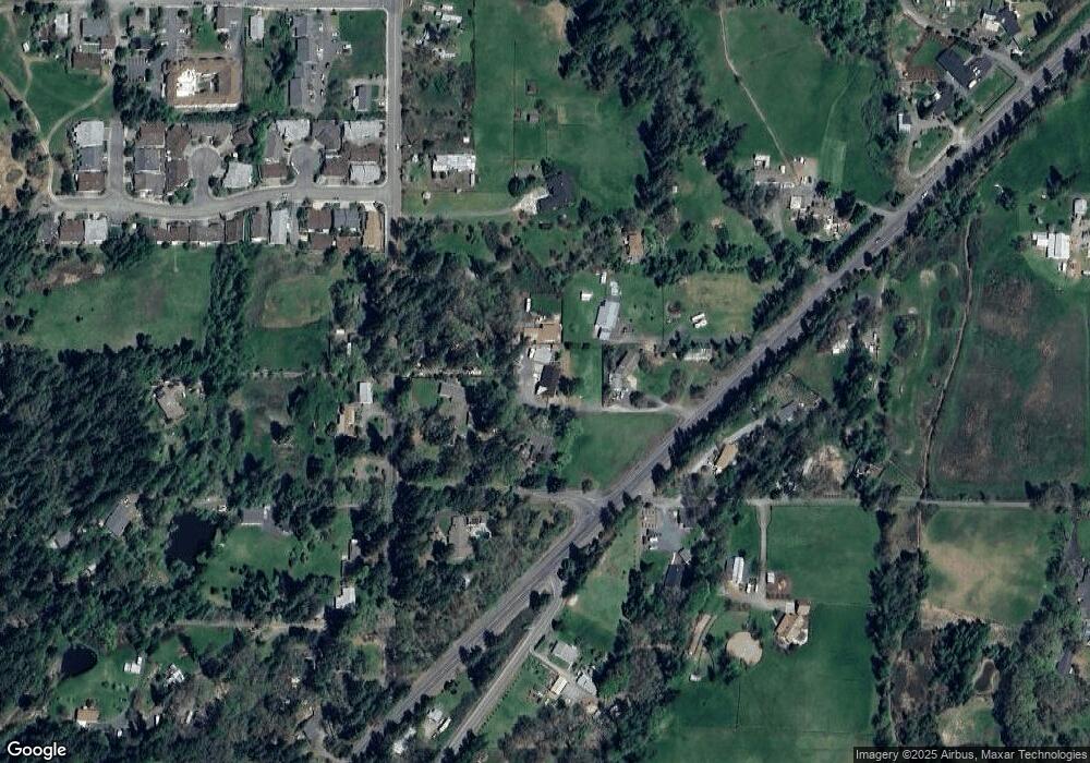
Map
Nearby Homes
- 1885 Hubbard Ln
- 1746 SW Waterstone Dr
- 2882 Esther Ln
- 2444 Elk Ln
- 2709 Jerome Prairie Rd
- 1550 Kokanee Ln
- 1561 Raydean Dr
- 1880 Medart Ln
- 1542 SW Waterstone Dr
- 2659 Esther Ln
- 3615 Redwood Hwy
- 3340 Redwood Hwy Unit 601
- 2172 Arnold Ave Unit 21
- 1512 Agape Way
- 3313 Redwood Ave
- 1510 Agape Way
- 2547 Elk Ln
- 1700 Medart Ln
- 1505 Agape Way
- 1504 Agape Way
- 2139 Hubbard Ln
- 2200 Demaray Dr
- 2246 Hubbard Ln
- 2180 Demaray Dr
- 2209 Hubbard Ln
- 2144 Demaray Dr
- 2155 Hubbard Ln
- 2133 Hubbard Ln
- 2221 Demaray Dr
- 2095 Hubbard Ln
- 2261 Hubbard Ln
- 2142 Hubbard Ln
- 2150 Hubbard Ln
- 2198 Hubbard Ln
- 125 Tipton Rd
- 2238 Hubbard Ln
- 3001 SW University Rd
- 3013 University Rd
- 2327 Jerome Prairie Rd
- 3000 University Rd