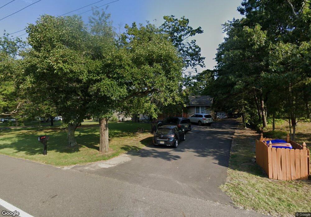
2212 E Broad St Millville, NJ 08332
Estimated Value: $264,000 - $452,000
--
Bed
--
Bath
2,008
Sq Ft
$163/Sq Ft
Est. Value
About This Home
This home is located at 2212 E Broad St, Millville, NJ 08332 and is currently estimated at $327,720, approximately $163 per square foot. 2212 E Broad St is a home located in Cumberland County with nearby schools including Holly Heights Elementary School, Lakeside Middle School, and Memorial High School.
Ownership History
Date
Name
Owned For
Owner Type
Purchase Details
Closed on
Mar 4, 2015
Sold by
Austino Robert A
Bought by
Us Bank National Association and Structured Asset Investment Loan Trust
Current Estimated Value
Purchase Details
Closed on
Jan 31, 2002
Sold by
Kononov Ekaterina
Bought by
Erhart Russell and Erhart Maryann
Home Financials for this Owner
Home Financials are based on the most recent Mortgage that was taken out on this home.
Original Mortgage
$69,020
Interest Rate
7.15%
Create a Home Valuation Report for This Property
The Home Valuation Report is an in-depth analysis detailing your home's value as well as a comparison with similar homes in the area
Home Values in the Area
Average Home Value in this Area
Purchase History
| Date | Buyer | Sale Price | Title Company |
|---|---|---|---|
| Us Bank National Association | -- | None Available | |
| Erhart Russell | $79,000 | -- |
Source: Public Records
Mortgage History
| Date | Status | Borrower | Loan Amount |
|---|---|---|---|
| Previous Owner | Erhart Russell | $69,020 |
Source: Public Records
Tax History Compared to Growth
Tax History
| Year | Tax Paid | Tax Assessment Tax Assessment Total Assessment is a certain percentage of the fair market value that is determined by local assessors to be the total taxable value of land and additions on the property. | Land | Improvement |
|---|---|---|---|---|
| 2025 | $6,162 | $157,000 | $36,600 | $120,400 |
| 2024 | $6,162 | $157,000 | $36,600 | $120,400 |
| 2023 | $6,110 | $157,000 | $36,600 | $120,400 |
| 2022 | $5,952 | $157,000 | $36,600 | $120,400 |
| 2021 | $5,759 | $157,000 | $36,600 | $120,400 |
| 2020 | $5,663 | $157,000 | $36,600 | $120,400 |
| 2019 | $5,401 | $157,000 | $36,600 | $120,400 |
| 2018 | $5,289 | $157,000 | $36,600 | $120,400 |
| 2017 | $5,241 | $157,000 | $36,600 | $120,400 |
| 2016 | $5,175 | $157,000 | $36,600 | $120,400 |
| 2015 | $5,059 | $157,000 | $36,600 | $120,400 |
| 2014 | -- | $157,000 | $36,600 | $120,400 |
Source: Public Records
Map
Nearby Homes
- 4225 Mays Landing Rd
- 1916 Bessie Way
- 447 Manor Ave
- 429 Manor Ave
- 9 Greenlawn Ct
- 1812 Newcombtown Rd
- 1921 Mountain Dr
- 4770 Stoney Bridge Rd
- 910 Hill Ln
- 909 Barbara Terrace
- 2801 Leaming Mill Rd
- 2000 Miller Ave Unit 26
- 902 E St
- 1906 E Main St
- 22 Whitaker Ct
- 16 Whitaker Ct
- 14 Whitaker Ct
- 18 Whitaker Ct
- Millville Plan at Whitaker Walk
- 24 Whitaker Ct
- 2222 E Broad St
- 2210 E Broad St
- 536 Crest Ave
- 2232 E Broad St
- 2208 E Broad St
- 2305 E Broad St
- 2211 E Broad St
- 2203 E Broad St
- 2114 E Broad St
- 530 Crest Ave
- 539 Crest Ave
- 2112 E Broad St
- 533 Manor Ave
- 1405 Mays Landing Rd
- 536 Manor Ave
- 531 Manor Ave
- 528 Crest Ave
- 528 Crest Ave
- 2110 E Broad St
- 1425 Mays Landing Rd