2212 Highway 151 La Fayette, GA 30728
Estimated Value: $424,000 - $544,964
--
Bed
2
Baths
2,349
Sq Ft
$206/Sq Ft
Est. Value
About This Home
This home is located at 2212 Highway 151, La Fayette, GA 30728 and is currently estimated at $484,482, approximately $206 per square foot. 2212 Highway 151 is a home located in Walker County with nearby schools including Rock Spring Elementary School and Lafayette High School.
Ownership History
Date
Name
Owned For
Owner Type
Purchase Details
Closed on
Jul 30, 2021
Sold by
Kaiser Betty
Bought by
Kaiser Jared E and Kaiser Mark
Current Estimated Value
Purchase Details
Closed on
Jan 14, 2004
Sold by
Kaiser Gerald E
Bought by
Kaiser Gerald Trust Etal
Purchase Details
Closed on
Mar 16, 1981
Sold by
Henry Woodard
Bought by
Kaiser Gerald E
Purchase Details
Closed on
Jan 1, 1972
Bought by
Henry Woodard
Create a Home Valuation Report for This Property
The Home Valuation Report is an in-depth analysis detailing your home's value as well as a comparison with similar homes in the area
Home Values in the Area
Average Home Value in this Area
Purchase History
| Date | Buyer | Sale Price | Title Company |
|---|---|---|---|
| Kaiser Jared E | $320,000 | -- | |
| Kaiser Gerald Trust Etal | -- | -- | |
| Kaiser Gerald E | $10,000 | -- | |
| Henry Woodard | -- | -- |
Source: Public Records
Tax History Compared to Growth
Tax History
| Year | Tax Paid | Tax Assessment Tax Assessment Total Assessment is a certain percentage of the fair market value that is determined by local assessors to be the total taxable value of land and additions on the property. | Land | Improvement |
|---|---|---|---|---|
| 2024 | $4,498 | $199,810 | $62,920 | $136,890 |
| 2023 | $4,285 | $185,654 | $49,936 | $135,718 |
| 2022 | $3,711 | $152,976 | $33,418 | $119,558 |
| 2021 | $1,145 | $97,952 | $33,418 | $64,534 |
| 2020 | $996 | $87,208 | $33,418 | $53,790 |
| 2019 | $1,051 | $88,497 | $34,707 | $53,790 |
| 2018 | $2,342 | $88,497 | $34,707 | $53,790 |
| 2017 | $1,340 | $88,497 | $34,707 | $53,790 |
| 2016 | $2,295 | $88,497 | $34,707 | $53,790 |
| 2015 | $2,351 | $85,268 | $41,600 | $43,668 |
| 2014 | $2,216 | $85,268 | $41,600 | $43,668 |
| 2013 | -- | $85,268 | $41,600 | $43,668 |
Source: Public Records
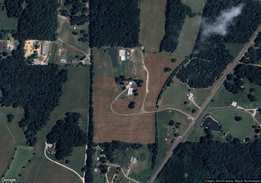
Map
Nearby Homes
- 7606 Highway 95
- 1052 Huffman Rd
- 176 Turkey Ridge Rd
- 201 Van Dell Dr
- 533 Van Dell Dr
- 0 Alabama Hwy Unit 1520958
- 0 Alabama Hwy Unit 21222630
- 0 Alabama Hwy Unit TRACT 3 10244950
- 1934 Round Pond Rd
- 3255 Colbert Hollow Rd
- 450 Arnold Ln
- Old Alabama Hwy Ga-151
- 121 Stock Dog Ln
- 134 Farm View Cir
- 0 Colbert Hollow Rd Unit 1513202
- 200 Cattail Dr
- 4934 N Jimmy Dr
- 901 Dunwoody Rd
- 1039 Dunwoody Rd
- 72 Brutis Dr
- 2212 Highway 151
- 684 Cooper Rd
- 278 Famlee Cir
- 90 Famlee Cir
- 2180 Highway 151
- 2180 Hwy 151
- 301 Sweetbriar Ln
- 2264 Highway 151
- 434 Cooper Rd
- 7841 Highway 95
- 2408 Highway 151
- 2408 Highway 151
- 132 Learning To Lean Ln
- 95 Highway 27 Bypass
- 2444 Highway 151
- 649 Cooper Rd
- 649 Cooper Rd
- 53 Confederate Dr
- 1991 Highway 151
- 1991 Georgia 151