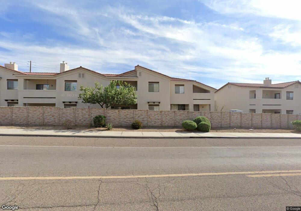
2212 Kiowa Blvd N Unit A7 Lake Havasu City, AZ 86403
Estimated Value: $67,358 - $285,000
--
Bed
--
Bath
520
Sq Ft
$301/Sq Ft
Est. Value
About This Home
This home is located at 2212 Kiowa Blvd N Unit A7, Lake Havasu City, AZ 86403 and is currently estimated at $156,590, approximately $301 per square foot. 2212 Kiowa Blvd N Unit A7 is a home located in Mohave County with nearby schools including Nautilus Elementary School, Thunderbolt Middle School, and Lake Havasu High School.
Ownership History
Date
Name
Owned For
Owner Type
Purchase Details
Closed on
Nov 15, 2018
Sold by
Melzar Raymond A and Melzar Eva
Bought by
Melzar Raymond A and Melzar Eva
Current Estimated Value
Purchase Details
Closed on
Jun 5, 2014
Sold by
Keen William C and Keen Laurette
Bought by
Melzar Raymond A and Melzar Eva
Purchase Details
Closed on
Oct 25, 2010
Sold by
Steele Kenneth
Bought by
Keen William C and Keen Laurette
Purchase Details
Closed on
Jan 22, 2010
Sold by
First Savings Bank
Bought by
Steele Kenneth
Create a Home Valuation Report for This Property
The Home Valuation Report is an in-depth analysis detailing your home's value as well as a comparison with similar homes in the area
Home Values in the Area
Average Home Value in this Area
Purchase History
| Date | Buyer | Sale Price | Title Company |
|---|---|---|---|
| Melzar Raymond A | -- | None Available | |
| Melzar Raymond A | $30,000 | Pioneer Title Agency Inc | |
| Keen William C | $18,500 | Stewart Title & Trust Of Pho | |
| Steele Kenneth | $116,500 | Stewart Title & Trust Of Pho |
Source: Public Records
Tax History Compared to Growth
Tax History
| Year | Tax Paid | Tax Assessment Tax Assessment Total Assessment is a certain percentage of the fair market value that is determined by local assessors to be the total taxable value of land and additions on the property. | Land | Improvement |
|---|---|---|---|---|
| 2026 | -- | -- | -- | -- |
| 2025 | $207 | $3,570 | $0 | $0 |
| 2024 | $207 | $4,532 | $0 | $0 |
| 2023 | $207 | $3,570 | $0 | $0 |
| 2022 | $198 | $2,801 | $0 | $0 |
| 2021 | $337 | $2,676 | $0 | $0 |
| 2019 | $326 | $2,393 | $0 | $0 |
| 2018 | $288 | $2,206 | $0 | $0 |
| 2017 | $285 | $2,012 | $0 | $0 |
| 2016 | $266 | $1,952 | $0 | $0 |
| 2015 | $263 | $1,745 | $0 | $0 |
Source: Public Records
Map
Nearby Homes
- 2212 Kiowa Blvd N Unit 123
- 2212 Kiowa Blvd N Unit 117
- 2212 Kiowa Blvd N Unit 227
- 2211 Sandwood Dr
- 2205 Sandwood Dr
- 2312 Palisades Dr
- 2148 Sandwood Dr
- 2183 Runabout Dr
- 2050 Kiowa Blvd N
- 2162 Runabout Dr
- 2395 San Juan Dr
- 2285 Pennant Ln
- 0000 Spawr Cir
- 2091 Holly Ave
- 2335 Palo Verde Blvd N
- 2257 Barranca Dr
- 2529 Palisades Dr
- 2535 Palisades Dr
- 1541 Holly Ave
- 1911 Holly Ave
- 2212 Kiowa Blvd N Unit 206
- 2212 Kiowa Blvd N Unit 230
- 2212 Kiowa Blvd N
- 2212 Kiowa Blvd N Unit 204
- 2212 Kiowa Blvd N Unit C28
- 2212 Kiowa Blvd N Unit C32
- 2212 Kiowa Blvd N Unit C1
- 2212 Kiowa Blvd N Unit C30
- 2212 Kiowa Blvd N Unit B18
- 2212 Kiowa Blvd N Unit B17
- 2212 Kiowa Blvd N Unit B16
- 2212 Kiowa Blvd N Unit B14
- 2212 Kiowa Blvd N Unit B12
- 2212 Kiowa Blvd N Unit A5
- 2212 Kiowa Blvd N Unit A3
- 2212 Kiowa Blvd N Unit 1
- 2212 Kiowa Blvd N Unit B19
- 2212 Kiowa Blvd N Unit A2
- 2212 Kiowa Blvd N Unit 238
- 2212 Kiowa Blvd N Unit 237