2212 N 750 E Unit 6 Andrews, IN 46702
Estimated Value: $373,760 - $629,000
3
Beds
2
Baths
2,606
Sq Ft
$173/Sq Ft
Est. Value
About This Home
This home is located at 2212 N 750 E Unit 6, Andrews, IN 46702 and is currently estimated at $449,690, approximately $172 per square foot. 2212 N 750 E Unit 6 is a home located in Wabash County.
Ownership History
Date
Name
Owned For
Owner Type
Purchase Details
Closed on
Dec 27, 2024
Sold by
Adams Barbara D
Bought by
Rockstroh Jeremy Patrick and Rockstroh Misty Dawn
Current Estimated Value
Home Financials for this Owner
Home Financials are based on the most recent Mortgage that was taken out on this home.
Original Mortgage
$367,000
Outstanding Balance
$364,437
Interest Rate
6.78%
Mortgage Type
VA
Estimated Equity
$85,253
Create a Home Valuation Report for This Property
The Home Valuation Report is an in-depth analysis detailing your home's value as well as a comparison with similar homes in the area
Home Values in the Area
Average Home Value in this Area
Purchase History
| Date | Buyer | Sale Price | Title Company |
|---|---|---|---|
| Rockstroh Jeremy Patrick | $367,000 | None Listed On Document |
Source: Public Records
Mortgage History
| Date | Status | Borrower | Loan Amount |
|---|---|---|---|
| Open | Rockstroh Jeremy Patrick | $367,000 |
Source: Public Records
Tax History Compared to Growth
Tax History
| Year | Tax Paid | Tax Assessment Tax Assessment Total Assessment is a certain percentage of the fair market value that is determined by local assessors to be the total taxable value of land and additions on the property. | Land | Improvement |
|---|---|---|---|---|
| 2024 | $1,374 | $245,100 | $31,400 | $213,700 |
| 2023 | $1,563 | $237,900 | $31,400 | $206,500 |
| 2022 | $1,276 | $220,100 | $31,400 | $188,700 |
| 2021 | $1,264 | $198,900 | $29,400 | $169,500 |
| 2020 | $1,132 | $186,400 | $29,400 | $157,000 |
| 2019 | $1,019 | $178,000 | $29,400 | $148,600 |
| 2018 | $976 | $174,100 | $29,400 | $144,700 |
| 2017 | $910 | $170,900 | $29,400 | $141,500 |
| 2016 | $653 | $167,000 | $29,400 | $137,600 |
| 2014 | $574 | $155,400 | $29,400 | $126,000 |
| 2013 | $519 | $152,600 | $29,400 | $123,200 |
Source: Public Records
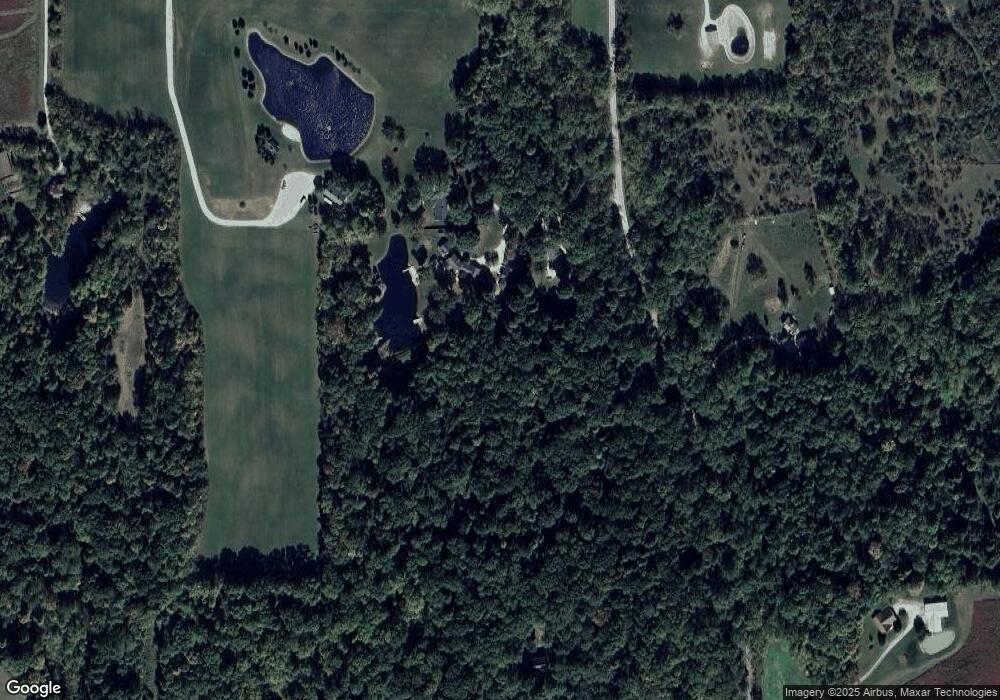
Map
Nearby Homes
- 2848 N 800 E
- 330 W Mckeever St
- 187 S Snowden St
- 63 E Mckeever St
- 874 N Jackson St
- 460 Main St
- TBD W Maple Grove Rd
- 00 S 600 E
- 5562 W 100 N
- 1957 E State Road 524
- 5725 W 600 N
- 1920 Hunters Ridge Dr
- 92 S 425 W
- TBD 495 N
- 2642 N 100 E
- 58 Quayle Run
- 5533 N 150 E
- 2217 Miami Trail
- 2207 Miami Trail
- 2200 Miami Trail