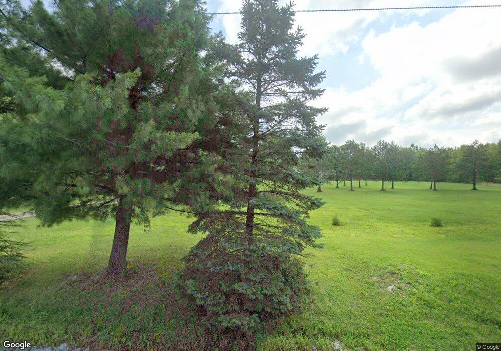
22120 Delaware County Line Rd Marysville, OH 43040
Scioto NeighborhoodEstimated Value: $361,000 - $669,947
3
Beds
2
Baths
1,804
Sq Ft
$295/Sq Ft
Est. Value
About This Home
This home is located at 22120 Delaware County Line Rd, Marysville, OH 43040 and is currently estimated at $532,737, approximately $295 per square foot. 22120 Delaware County Line Rd is a home located in Delaware County with nearby schools including North Union Elementary School, North Union Middle School, and North Union High School.
Ownership History
Date
Name
Owned For
Owner Type
Purchase Details
Closed on
Oct 15, 1998
Sold by
Cooke Robert E
Bought by
Jones Anthony L and Jones Carol Y
Current Estimated Value
Home Financials for this Owner
Home Financials are based on the most recent Mortgage that was taken out on this home.
Original Mortgage
$46,875
Interest Rate
6.9%
Mortgage Type
New Conventional
Create a Home Valuation Report for This Property
The Home Valuation Report is an in-depth analysis detailing your home's value as well as a comparison with similar homes in the area
Home Values in the Area
Average Home Value in this Area
Purchase History
| Date | Buyer | Sale Price | Title Company |
|---|---|---|---|
| Jones Anthony L | $62,500 | -- |
Source: Public Records
Mortgage History
| Date | Status | Borrower | Loan Amount |
|---|---|---|---|
| Closed | Jones Anthony L | $46,875 |
Source: Public Records
Tax History Compared to Growth
Tax History
| Year | Tax Paid | Tax Assessment Tax Assessment Total Assessment is a certain percentage of the fair market value that is determined by local assessors to be the total taxable value of land and additions on the property. | Land | Improvement |
|---|---|---|---|---|
| 2024 | $4,429 | $176,340 | $57,720 | $118,620 |
| 2023 | $4,418 | $176,340 | $57,720 | $118,620 |
| 2022 | $3,200 | $124,250 | $42,140 | $82,110 |
| 2021 | $3,207 | $124,250 | $42,140 | $82,110 |
| 2020 | $3,201 | $124,250 | $42,140 | $82,110 |
| 2019 | $2,916 | $106,510 | $35,110 | $71,400 |
| 2018 | $2,942 | $106,510 | $35,110 | $71,400 |
| 2017 | $3,303 | $97,450 | $31,190 | $66,260 |
| 2016 | $3,445 | $97,450 | $31,190 | $66,260 |
| 2015 | $3,409 | $97,450 | $31,190 | $66,260 |
| 2014 | $3,494 | $97,450 | $31,190 | $66,260 |
| 2013 | $2,952 | $94,300 | $31,190 | $63,110 |
Source: Public Records
Map
Nearby Homes
- 184 May St
- 0 Marsh Rd Unit 225031436
- 20478 Delaware County Line Rd
- 0 Delaware County Line Rd
- 0 Burnt Pond Rd Unit Tract 1
- 0 Burnt Pond Rd Unit Tract 2
- 0 Burnt Pond Rd Unit Tract 4
- 0 Burnt Pond Rd Unit Tract 3
- 0 Burnt Pond Rd Unit Tract 5
- 0 Carr Rd Unit 225016840
- 13103 State Route 347
- 24259 State Route 4
- 1859 State Route 257 N
- 534 Brayshaw Dr
- 0 Fulton Creek Rd
- 3480 Ostrander Rd
- 10156 Marysville Rd
- 1131 Ohio 257
- 322 Blue Ridge Ct
- 4093 State Route 257
- 22130 Delaware County Line Rd
- 9293 State Route 37 W
- 9225 State Route 37 W
- 9225 W State Route 37
- 9155 State Route 37 W
- 22200 Delaware County Line Rd
- 22250 Delaware County Line Rd
- 22460 Delaware County Line Rd
- 230 Burnt Pond Rd
- 280 Burnt Pond Rd
- 9353 State Route 37
- 9353 Ohio 37
- 22480 Delaware County Line Rd
- 9375 State Route 37
- 22131 Delaware County Line Rd
- 21970 Delaware County Line Rd
- 9485 Ohio 37
- 9485 State Route 37
- 9185 State Route 37 W
- 124 Burnt Pond Rd
