22120 E R D Mize Rd Independence, MO 64057
Little Blue NeighborhoodEstimated Value: $514,000 - $626,000
3
Beds
2
Baths
2,260
Sq Ft
$248/Sq Ft
Est. Value
About This Home
This home is located at 22120 E R D Mize Rd, Independence, MO 64057 and is currently estimated at $559,386, approximately $247 per square foot. 22120 E R D Mize Rd is a home with nearby schools including James Lewis Elementary School, Brittany Hill Middle School, and Blue Springs High School.
Ownership History
Date
Name
Owned For
Owner Type
Purchase Details
Closed on
Dec 19, 2007
Sold by
Landmark Builders Of Blue Springs Inc
Bought by
Mcdaniel Randall J
Current Estimated Value
Home Financials for this Owner
Home Financials are based on the most recent Mortgage that was taken out on this home.
Original Mortgage
$57,000
Outstanding Balance
$36,079
Interest Rate
6.3%
Mortgage Type
Purchase Money Mortgage
Estimated Equity
$523,307
Create a Home Valuation Report for This Property
The Home Valuation Report is an in-depth analysis detailing your home's value as well as a comparison with similar homes in the area
Home Values in the Area
Average Home Value in this Area
Purchase History
| Date | Buyer | Sale Price | Title Company |
|---|---|---|---|
| Mcdaniel Randall J | -- | First American Title |
Source: Public Records
Mortgage History
| Date | Status | Borrower | Loan Amount |
|---|---|---|---|
| Open | Mcdaniel Randall J | $57,000 |
Source: Public Records
Tax History
| Year | Tax Paid | Tax Assessment Tax Assessment Total Assessment is a certain percentage of the fair market value that is determined by local assessors to be the total taxable value of land and additions on the property. | Land | Improvement |
|---|---|---|---|---|
| 2025 | $6,090 | $97,258 | $8,256 | $89,002 |
| 2024 | $5,963 | $88,778 | $9,270 | $79,508 |
| 2023 | $5,963 | $88,777 | $7,689 | $81,088 |
| 2022 | $6,492 | $84,550 | $15,170 | $69,380 |
| 2021 | $6,489 | $84,550 | $15,170 | $69,380 |
| 2020 | $5,772 | $74,095 | $15,170 | $58,925 |
| 2019 | $5,579 | $74,095 | $15,170 | $58,925 |
| 2018 | $5,004 | $64,487 | $13,203 | $51,284 |
| 2016 | $4,857 | $62,871 | $14,288 | $48,583 |
Source: Public Records
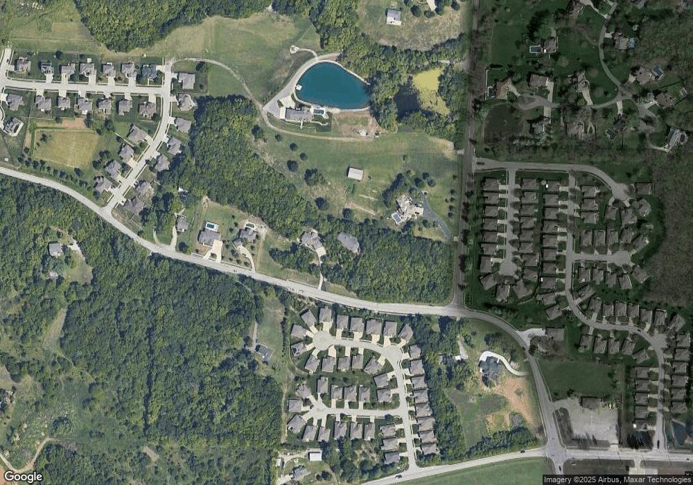
Map
Nearby Homes
- 3224 S Cardinal Ct
- 21805 E 32nd Terrace S
- 3337 S Victoria Dr
- 3331 S Saddle Ridge Ct
- 21708 E Eureka Rd
- 3403 S R D Mize Rd
- 21310 E 34th St S
- 22804 E 29th Street Lane Ct S
- 22600 E 27th St S
- 21304 E 37th Terrace Ct S
- 2433 NW Sunnyvale Ct
- 21004 E 37th Terrace Ct S
- 20913 E 37th Terrace Ct S
- 4013 NW Sol Dr
- 3716 NW Anchor Ct
- 22905 E 42nd St Ct
- 1425 NW Birdseye Ct
- 1401 NW Kingston Rd
- 2805 NW Westbrooke Cir
- 2916 Sweet Briar Dr
- 22110 E R D Mize Rd
- 22110 E 33rd Terrace Ct S
- 22110 E 33rd Terrace Court S N A
- 22110 E 33rd Terrace Court S N A
- 22118 E 33rd Terrace Ct S
- 22106 E 33rd Terrace Ct S
- 22114 E 33rd Terrace Ct S Unit CT S
- 22122 E 33rd Terrace Ct S
- 22126 E 33rd Terrace Ct S
- 22020 E R D Mize Rd
- 22102 E 33rd Terrace Ct S
- 22130 E 33rd Terrace Ct S
- 22115 E 33rd Terrace Ct S
- 22103 E 33rd Terrace Ct S
- 22119 E 33rd Terrace Ct S
- 22111 E 33rd Terrace Ct S
- 22129 E 33rd Terrace Ct S
- 22129 E 33rd Terrace Ct S
- 22107 E 33rd Terrace Ct S
- 3343 S Wood Ave
Your Personal Tour Guide
Ask me questions while you tour the home.