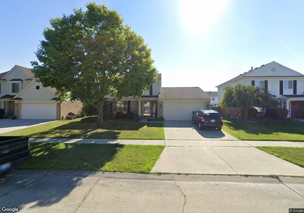
22129 Sherwood Ln Unit Bldg-Unit Flat Rock, MI 48134
Estimated Value: $343,206 - $392,000
3
Beds
3
Baths
1,632
Sq Ft
$222/Sq Ft
Est. Value
About This Home
This home is located at 22129 Sherwood Ln Unit Bldg-Unit, Flat Rock, MI 48134 and is currently estimated at $361,552, approximately $221 per square foot. 22129 Sherwood Ln Unit Bldg-Unit is a home located in Wayne County with nearby schools including Bates Elementary School, Brownstown Middle School, and Patrick Henry Middle School.
Ownership History
Date
Name
Owned For
Owner Type
Purchase Details
Closed on
Sep 30, 2022
Sold by
Ryan P Liken Trust
Bought by
Berryhill Jimmy S and Klotz Kayla
Current Estimated Value
Purchase Details
Closed on
Mar 2, 2021
Sold by
Liken Ryan P and Liken Renee S
Bought by
Liken Ryan P and Liken Renee S
Purchase Details
Closed on
Nov 10, 2020
Sold by
Liken Ryan P and Liken Renee S
Bought by
Liken Ryan P and Liken Renee S
Purchase Details
Closed on
Jul 22, 2019
Sold by
Liken Ryan P and Pinter Renne S
Bought by
Liken Ryan P and Ryan P Liken Trust
Purchase Details
Closed on
Mar 9, 2018
Sold by
Smith Margaret S
Bought by
Liken Ryan P
Create a Home Valuation Report for This Property
The Home Valuation Report is an in-depth analysis detailing your home's value as well as a comparison with similar homes in the area
Home Values in the Area
Average Home Value in this Area
Purchase History
| Date | Buyer | Sale Price | Title Company |
|---|---|---|---|
| Berryhill Jimmy S | $300,000 | -- | |
| Liken Ryan P | -- | None Available | |
| Liken Ryan P | -- | None Available | |
| Liken Ryan P | -- | None Available | |
| Liken Ryan P | $212,000 | First American Title |
Source: Public Records
Tax History Compared to Growth
Tax History
| Year | Tax Paid | Tax Assessment Tax Assessment Total Assessment is a certain percentage of the fair market value that is determined by local assessors to be the total taxable value of land and additions on the property. | Land | Improvement |
|---|---|---|---|---|
| 2025 | $3,354 | $149,700 | $0 | $0 |
| 2024 | $3,354 | $141,600 | $0 | $0 |
| 2023 | $3,163 | $125,200 | $0 | $0 |
| 2022 | $4,849 | $108,700 | $0 | $0 |
| 2021 | $4,472 | $104,200 | $0 | $0 |
| 2020 | $4,342 | $96,500 | $0 | $0 |
| 2019 | $4,310 | $92,900 | $0 | $0 |
| 2018 | $1,724 | $81,700 | $0 | $0 |
| 2017 | $2,940 | $80,800 | $0 | $0 |
| 2016 | $3,107 | $79,200 | $0 | $0 |
| 2015 | $6,470 | $79,700 | $0 | $0 |
| 2013 | $6,268 | $66,300 | $0 | $0 |
| 2012 | -- | $63,400 | $15,000 | $48,400 |
Source: Public Records
Map
Nearby Homes
- 22171 Knollwood Dr
- 22886 Sylvan Ave
- 22701 Beech Daly Rd
- 00 Liddle St
- 23855 Lillian St
- 25609 King Rd
- 23721 W Lake Cir Unit 14
- 23706 W Lake Cir Unit 36
- 23631 Cora St
- 23617 Cora St
- 23869 McCort Dr Unit 68
- 23607 Telegraph Rd
- 22642 Carter Rd
- 23300 Brentwood Dr
- 23061 Westwood Dr Unit 6
- 23311 Redman Ct Unit 35
- 24436 Mount Olive Dr
- 00 West Rd
- 26077 Timber Creek Blvd
- 24320 Westpointe St
- 22129 Sherwood Ln
- 22107 Sherwood Ln
- 22151 Sherwood Ln
- 22173 Sherwood Ln
- 22106 Knollwood Dr
- 22085 Sherwood Ln
- 22150 Knollwood Dr
- 22172 Knollwood Dr
- 22084 Knollwood Dr
- 22130 Sherwood Ln
- 22195 Sherwood Ln
- 22152 Sherwood Ln
- 22108 Sherwood Ln
- 22194 Knollwood Dr
- 22174 Sherwood Ln
- 22086 Sherwood Ln
- 22217 Sherwood Ln
- 22196 Sherwood Ln
- 22216 Knollwood Dr
- 22127 Knollwood Dr