2213 County Road 447 Princeton, TX 75407
Estimated Value: $1,025,000 - $1,352,840
5
Beds
5
Baths
3,450
Sq Ft
$331/Sq Ft
Est. Value
About This Home
This home is located at 2213 County Road 447, Princeton, TX 75407 and is currently estimated at $1,140,947, approximately $330 per square foot. 2213 County Road 447 is a home located in Collin County with nearby schools including Harper Elementary School and Princeton High School.
Ownership History
Date
Name
Owned For
Owner Type
Purchase Details
Closed on
Aug 23, 2002
Sold by
Robb Richard Frank and Robb Judith Anne
Bought by
Sebastian Fiette Annie Laurie
Current Estimated Value
Home Financials for this Owner
Home Financials are based on the most recent Mortgage that was taken out on this home.
Original Mortgage
$236,000
Outstanding Balance
$98,863
Interest Rate
6.41%
Estimated Equity
$1,042,084
Create a Home Valuation Report for This Property
The Home Valuation Report is an in-depth analysis detailing your home's value as well as a comparison with similar homes in the area
Home Values in the Area
Average Home Value in this Area
Purchase History
| Date | Buyer | Sale Price | Title Company |
|---|---|---|---|
| Sebastian Fiette Annie Laurie | -- | -- |
Source: Public Records
Mortgage History
| Date | Status | Borrower | Loan Amount |
|---|---|---|---|
| Open | Sebastian Fiette Annie Laurie | $236,000 |
Source: Public Records
Tax History Compared to Growth
Tax History
| Year | Tax Paid | Tax Assessment Tax Assessment Total Assessment is a certain percentage of the fair market value that is determined by local assessors to be the total taxable value of land and additions on the property. | Land | Improvement |
|---|---|---|---|---|
| 2025 | $6,427 | $496,033 | $102,019 | $394,014 |
| 2024 | $6,427 | $432,548 | $46,860 | $385,688 |
| 2023 | $6,427 | $342,951 | $46,959 | $295,992 |
| 2022 | $4,918 | $293,317 | $32,019 | $262,029 |
| 2021 | $4,712 | $511,060 | $249,475 | $261,585 |
| 2020 | $4,847 | $501,000 | $249,475 | $251,525 |
| 2019 | $6,345 | $337,161 | $0 | $0 |
| 2018 | $6,177 | $326,473 | $0 | $0 |
| 2017 | $5,918 | $518,000 | $0 | $0 |
| 2016 | $4,448 | $367,138 | $0 | $0 |
| 2015 | $3,558 | $356,309 | $155,922 | $200,387 |
Source: Public Records
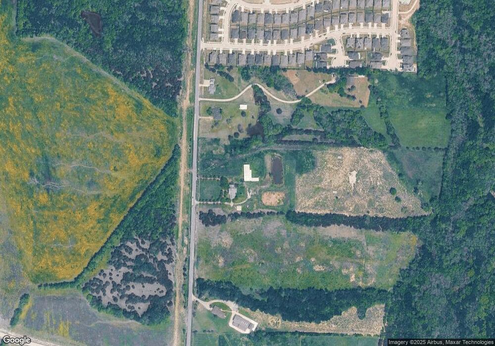
Map
Nearby Homes
- 209 Michael Dr
- Brookeview Plan at Morning Ridge
- Ivery Plan at Morning Ridge
- Galena Plan at Morning Ridge
- Aspen Plan at Morning Ridge
- Hamilton Plan at Morning Ridge
- Avery Plan at Morning Ridge
- Englewood Plan at Morning Ridge
- Evergreen Plan at Morning Ridge
- Oakridge Plan at Morning Ridge
- 113 Nathan Dr
- 1818 Christina Dr
- 107 Abraham Ct
- 208 Michael Dr
- 1816 Christina Dr
- 204 Michael Dr
- 1814 Christina Dr
- 202 Michael Dr
- 1812 Christina Dr
- 207 Sophie Dr