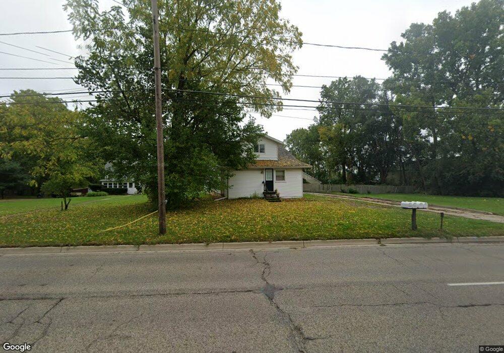
2213 Lansing Ave Jackson, MI 49202
Estimated Value: $281,000 - $398,000
Studio
--
Bath
3,705
Sq Ft
$86/Sq Ft
Est. Value
About This Home
This home is located at 2213 Lansing Ave, Jackson, MI 49202 and is currently estimated at $317,372, approximately $85 per square foot. 2213 Lansing Ave is a home located in Jackson County with nearby schools including Northwest Early Elementary School, Northwest Elementary School, and Northwest Middle School.
Ownership History
Date
Name
Owned For
Owner Type
Purchase Details
Closed on
May 2, 2013
Sold by
Mast Brian J and Mast Melanie
Bought by
Mast Jack E and Mast Patricia G
Current Estimated Value
Purchase Details
Closed on
Apr 27, 2000
Sold by
Makielski Donald J and Makielski Hildur R
Bought by
Mast Jack E
Home Financials for this Owner
Home Financials are based on the most recent Mortgage that was taken out on this home.
Original Mortgage
$105,000
Outstanding Balance
$36,536
Interest Rate
8.24%
Estimated Equity
$280,836
Purchase Details
Closed on
Jul 26, 1996
Sold by
Makielski Paul and Makielski Jamie L
Bought by
Makielski Donald J and Makielski Hildur R
Purchase Details
Closed on
Jul 23, 1996
Sold by
Makielski Paul and Makielski Jamie L
Bought by
Makielski Donald J and Makielski Hildur R
Purchase Details
Closed on
Oct 26, 1995
Bought by
Makielski Paul
Purchase Details
Closed on
Oct 1, 1995
Bought by
Makielski
Create a Home Valuation Report for This Property
The Home Valuation Report is an in-depth analysis detailing your home's value as well as a comparison with similar homes in the area
Home Values in the Area
Average Home Value in this Area
Purchase History
| Date | Buyer | Sale Price | Title Company |
|---|---|---|---|
| Mast Jack E | -- | None Available | |
| Mast Jack E | $105,000 | -- | |
| Makielski Donald J | -- | -- | |
| Makielski Donald J | -- | -- | |
| Makielski Paul | $40,000 | -- | |
| Makielski | $40,000 | -- |
Source: Public Records
Mortgage History
| Date | Status | Borrower | Loan Amount |
|---|---|---|---|
| Open | Mast Jack E | $105,000 |
Source: Public Records
Tax History
| Year | Tax Paid | Tax Assessment Tax Assessment Total Assessment is a certain percentage of the fair market value that is determined by local assessors to be the total taxable value of land and additions on the property. | Land | Improvement |
|---|---|---|---|---|
| 2025 | $4,354 | $146,350 | $0 | $0 |
| 2024 | $14 | $136,850 | $0 | $0 |
| 2023 | $1,300 | $128,000 | $0 | $0 |
| 2022 | $3,941 | $99,100 | $0 | $0 |
| 2021 | $3,853 | $86,600 | $0 | $0 |
| 2020 | $3,811 | $80,900 | $0 | $0 |
| 2019 | $3,725 | $82,900 | $0 | $0 |
| 2018 | $3,490 | $74,900 | $0 | $0 |
| 2017 | $3,337 | $75,300 | $0 | $0 |
| 2016 | $2,619 | $68,995 | $68,995 | $0 |
| 2015 | $2,861 | $61,463 | $61,463 | $0 |
| 2014 | $2,861 | $57,523 | $0 | $0 |
| 2013 | -- | $57,523 | $57,523 | $0 |
Source: Public Records
Map
Nearby Homes
- 550 Royal Dr
- 520 Andrew Ave
- 735 Royal Dr
- 2013 Cooper St
- 0 Brookley Ave
- 951 W Monroe St
- 1422 Cooper St
- 431 Madison St
- 121 Frost St
- 0 Shirley Dr Unit 24064060
- 1302 Cooper St
- 1105 Clinton Rd
- 1135 Hamilton St
- 1012 Lansing Ave
- 1114 Hamilton St
- 939 Backus St
- 1115 Cooper St
- 127 W Argyle St
- 919 Lincoln St
- 1025 Hamilton St
- 2151 Lansing Ave
- 2228 Lansing Ave
- 2222 Lansing Ave
- 2219 Lansing Ave
- 2212 Lansing Ave
- 2236 Lansing Ave
- 2124 Lansing Ave
- 2232 Lansing Ave
- 2235 Lansing Ave
- 2120 Lansing Ave
- 530 Shirley Dr
- 527 Murphy St
- 2300 Lansing Ave
- 534 Shirley Dr
- 529 Shirley Dr
- 2304 Lansing Ave
- 536 Shirley Dr
- 559 Murphy St
- 2110 Lansing Ave
- 537 Shirley Dr
Your Personal Tour Guide
Ask me questions while you tour the home.