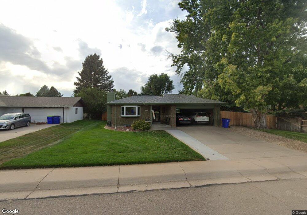
2213 Mountair Ln Greeley, CO 80634
West Lake Park NeighborhoodEstimated Value: $408,273 - $422,000
3
Beds
5
Baths
1,265
Sq Ft
$326/Sq Ft
Est. Value
About This Home
This home is located at 2213 Mountair Ln, Greeley, CO 80634 and is currently estimated at $412,818, approximately $326 per square foot. 2213 Mountair Ln is a home located in Weld County with nearby schools including Meeker Elementary School, Brentwood Middle School, and Greeley West High School.
Ownership History
Date
Name
Owned For
Owner Type
Purchase Details
Closed on
Aug 6, 1998
Sold by
Largent Charles Gary
Bought by
Largent Charles G and Enderud Barbara A
Current Estimated Value
Purchase Details
Closed on
Nov 29, 1995
Sold by
Eaton Jack Duncan
Bought by
Largent Charles Gary
Purchase Details
Closed on
Jun 1, 1995
Sold by
Fletcher Deborah G
Bought by
Eaton Jack Duncan
Purchase Details
Closed on
Jul 1, 1976
Create a Home Valuation Report for This Property
The Home Valuation Report is an in-depth analysis detailing your home's value as well as a comparison with similar homes in the area
Home Values in the Area
Average Home Value in this Area
Purchase History
| Date | Buyer | Sale Price | Title Company |
|---|---|---|---|
| Largent Charles G | -- | -- | |
| Largent Charles Gary | $112,500 | -- | |
| Eaton Jack Duncan | $108,000 | -- | |
| -- | -- | -- |
Source: Public Records
Mortgage History
| Date | Status | Borrower | Loan Amount |
|---|---|---|---|
| Closed | Largent Charles G | $50,000 |
Source: Public Records
Tax History Compared to Growth
Tax History
| Year | Tax Paid | Tax Assessment Tax Assessment Total Assessment is a certain percentage of the fair market value that is determined by local assessors to be the total taxable value of land and additions on the property. | Land | Improvement |
|---|---|---|---|---|
| 2025 | $1,444 | $25,010 | $3,880 | $21,130 |
| 2024 | $1,444 | $25,010 | $3,880 | $21,130 |
| 2023 | $1,377 | $27,670 | $4,190 | $23,480 |
| 2022 | $1,189 | $20,580 | $3,060 | $17,520 |
| 2021 | $1,226 | $21,170 | $3,150 | $18,020 |
| 2020 | $1,091 | $19,670 | $3,000 | $16,670 |
| 2019 | $1,094 | $19,670 | $3,000 | $16,670 |
| 2018 | $723 | $15,930 | $2,740 | $13,190 |
| 2017 | $727 | $15,930 | $2,740 | $13,190 |
| 2016 | $532 | $14,380 | $2,630 | $11,750 |
| 2015 | $530 | $14,380 | $2,630 | $11,750 |
| 2014 | $400 | $5,290 | $1,030 | $4,260 |
Source: Public Records
Map
Nearby Homes
- 2840 W 21st St Unit 1
- 2840 W 21st St Unit 9
- 2166 35th Avenue Ct Unit 1-4
- 2162 35th Avenue Ct Unit 1-4
- 2738 W 22nd Street Dr
- 2420 29th Ave
- 2758 W 24th St
- 1975 28th Ave Unit 31
- 2132 27th Ave
- 3118 W 19th Street Rd
- 2062 27th Ave
- 2409 27th Avenue Ct
- 1912 29th Ave
- 2713 W 19th Street Dr Unit 5A
- 2627 Mountair Ln
- 1925 28th Ave Unit 30
- 1925 28th Ave Unit 36
- 2701 W 19th Street Dr
- 2144 26th Ave
- 3900 W 22nd St
- 2215 Mountair Ln
- 2209 Mountair Ln
- 2211 Mountair Ln
- 2217 Mountair Ln
- 2214 Mountair Ln
- 2216 Mountair Ln
- 2212 Mountair Ln
- 2207 Mountair Ln
- 2218 Mountair Ln
- 2208 Mountair Ln
- 2201 Mountair Ln
- 2220 Mountair Ln
- 2205 Mountair Ln
- 2204 Mountair Ln
- 2203 Mountair Ln
- 2221 Mountair Ln
- 2224 33rd Ave
- 2228 33rd Ave
- 2301 Sunset Ln
- 2307 Sunset Ln