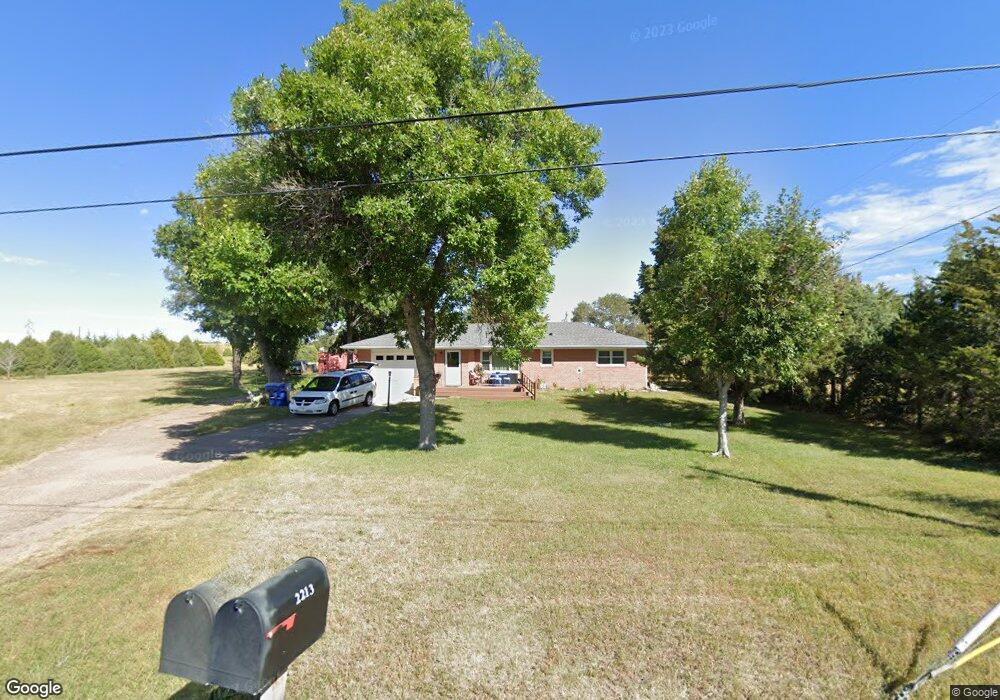
2213 W Eugene Ave North Platte, NE 69101
Estimated Value: $225,565 - $284,000
3
Beds
1
Bath
1,226
Sq Ft
$201/Sq Ft
Est. Value
About This Home
This home is located at 2213 W Eugene Ave, North Platte, NE 69101 and is currently estimated at $245,891, approximately $200 per square foot. 2213 W Eugene Ave is a home located in Lincoln County with nearby schools including North Platte High School and Platte Valley Christian Academy.
Ownership History
Date
Name
Owned For
Owner Type
Purchase Details
Closed on
May 25, 2011
Sold by
Barnason Gene and Barnason Gene E
Bought by
Hellbusch Timothy M
Current Estimated Value
Home Financials for this Owner
Home Financials are based on the most recent Mortgage that was taken out on this home.
Original Mortgage
$107,211
Outstanding Balance
$74,472
Interest Rate
4.87%
Mortgage Type
FHA
Estimated Equity
$171,419
Create a Home Valuation Report for This Property
The Home Valuation Report is an in-depth analysis detailing your home's value as well as a comparison with similar homes in the area
Home Values in the Area
Average Home Value in this Area
Purchase History
| Date | Buyer | Sale Price | Title Company |
|---|---|---|---|
| Hellbusch Timothy M | $110,000 | Western Title |
Source: Public Records
Mortgage History
| Date | Status | Borrower | Loan Amount |
|---|---|---|---|
| Open | Hellbusch Timothy M | $107,211 |
Source: Public Records
Tax History Compared to Growth
Tax History
| Year | Tax Paid | Tax Assessment Tax Assessment Total Assessment is a certain percentage of the fair market value that is determined by local assessors to be the total taxable value of land and additions on the property. | Land | Improvement |
|---|---|---|---|---|
| 2024 | $1,599 | $171,512 | $48,500 | $123,012 |
| 2023 | $2,194 | $159,665 | $48,500 | $111,165 |
| 2022 | $2,012 | $139,015 | $48,500 | $90,515 |
| 2021 | $2,028 | $139,015 | $48,500 | $90,515 |
| 2020 | $2,262 | $152,180 | $48,500 | $103,680 |
| 2019 | $1,998 | $133,983 | $20,972 | $113,011 |
| 2018 | $1,847 | $122,920 | $19,240 | $103,680 |
| 2017 | $1,857 | $122,920 | $19,240 | $103,680 |
| 2016 | $1,901 | $123,565 | $19,240 | $104,325 |
| 2014 | $1,628 | $99,745 | $19,240 | $80,505 |
Source: Public Records
Map
Nearby Homes
- 902-902 1 2 W 8th 710 N Jessie Ave Unit 902,902
- 2901 Goldenrod Ct
- 0 Unit Lot
- 0 N Buffalo Bill Grass
- N Platte Unit NE 69101
- 0 Buffalo Triangle Frontage
- 0 State Farm Road Short Acreage W
- 0 State Farm Road Short Acreage E
- N Platte Unit NE 69101
- N Platte Unit NE 69101
- 0 S Buffalo Bill Development
- N Platte Unit NE 69101
- 3102 S Oak St
- 1401 S Buffalo Bill Ave
- 0 N Platte Fremont Slough Development Unit 11573268
- N Platte Unit NE 69101
- 0 Unit 11584518
- N Platte Unit NE 69101
- 1501 Cornhusker Cir
- 1107 S Emory Ave
- 2166 W Eugene Ave
- 2374 W Eugene Ave
- 2210 W Eugene Ave
- 2111 W Eugene Ave
- 2290 Choke Cherry Rd
- 2384 Choke Cherry Rd
- 2061 W Walker Rd
- 1903 W Eugene Ave
- 1906 W Eugene Ave
- 2333 Choke Cherry Rd
- 2381 Choke Cherry Rd
- 1800 W Eugene Ave
- 1801 W Eugene Ave
- 2063 W Walker Rd
- 2311 W Walker Rd
- 2201 W Walker Rd
- 2211 W Walker Rd
- 2129 W Walker Rd
- 1905 W Walker Rd
- 0 W Walker Rd Unit Lots 11218620