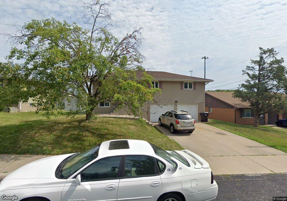
2213 W Westport Rd Peoria, IL 61615
North Peoria NeighborhoodEstimated Value: $130,591 - $167,000
3
Beds
1
Bath
1,082
Sq Ft
$133/Sq Ft
Est. Value
About This Home
This home is located at 2213 W Westport Rd, Peoria, IL 61615 and is currently estimated at $144,148, approximately $133 per square foot. 2213 W Westport Rd is a home located in Peoria County with nearby schools including Dr Maude A Sanders Primary School, Sterling Middle School, and Peoria High School.
Ownership History
Date
Name
Owned For
Owner Type
Purchase Details
Closed on
Apr 29, 2015
Sold by
Anderson Ronald W
Bought by
Leggison Sheneka N
Current Estimated Value
Home Financials for this Owner
Home Financials are based on the most recent Mortgage that was taken out on this home.
Original Mortgage
$92,000
Outstanding Balance
$71,987
Interest Rate
4.12%
Mortgage Type
New Conventional
Estimated Equity
$72,161
Purchase Details
Closed on
Apr 21, 2003
Bought by
Anderson Ronald W
Create a Home Valuation Report for This Property
The Home Valuation Report is an in-depth analysis detailing your home's value as well as a comparison with similar homes in the area
Home Values in the Area
Average Home Value in this Area
Purchase History
| Date | Buyer | Sale Price | Title Company |
|---|---|---|---|
| Leggison Sheneka N | $97,000 | Attorney Only | |
| Anderson Ronald W | $91,000 | -- |
Source: Public Records
Mortgage History
| Date | Status | Borrower | Loan Amount |
|---|---|---|---|
| Open | Leggison Sheneka N | $92,000 |
Source: Public Records
Tax History Compared to Growth
Tax History
| Year | Tax Paid | Tax Assessment Tax Assessment Total Assessment is a certain percentage of the fair market value that is determined by local assessors to be the total taxable value of land and additions on the property. | Land | Improvement |
|---|---|---|---|---|
| 2024 | $2,749 | $36,390 | $5,890 | $30,500 |
| 2023 | $2,576 | $33,380 | $5,400 | $27,980 |
| 2022 | $2,463 | $31,530 | $5,120 | $26,410 |
| 2021 | $2,389 | $30,030 | $4,880 | $25,150 |
| 2020 | $2,378 | $29,730 | $4,830 | $24,900 |
| 2019 | $2,425 | $30,340 | $4,930 | $25,410 |
| 2018 | $2,379 | $30,430 | $4,980 | $25,450 |
| 2017 | $2,385 | $30,740 | $5,030 | $25,710 |
| 2016 | $2,881 | $30,740 | $5,030 | $25,710 |
| 2015 | $2,777 | $30,140 | $4,930 | $25,210 |
| 2014 | -- | $30,170 | $4,910 | $25,260 |
| 2013 | -- | $30,540 | $4,970 | $25,570 |
Source: Public Records
Map
Nearby Homes
- 2214 W Bainter Ln
- 4011 N Sterling Ave
- 3720 N Saint Michael Ave
- 2705 W Millbrook Ct
- 3623 N Sterling Ave Unit b-17
- 3808 N Walround Ln
- 3423 N El Vista Ave
- 2910 W Westport Rd
- 2221 W Tripp Ave
- 2011 W Richwoods Blvd
- 2036 W Richwoods Blvd
- 2922 W Larchmont Ln
- 4426 N Wilco Dr
- 2318 W Albany Ave
- 3010 W Brookside Dr
- 2315 W Hudson St
- 2724 W Scenic Dr
- 4036 N Westport Ct
- 4212 N Keenland Ave
- 2627 Eugenie Ave
- 2213 W Westport Rd
- 2209 W Westport Rd
- 2217 W Westport Rd
- 2221 W Westport Rd
- 2221 W Westport Rd Unit 2
- 2212 W Westport Rd
- 2216 W Westport Rd
- 2216 W Westport Rd
- 2205 W Westport Rd
- 2202 W Westport Rd
- 2204 W Westport Rd
- 2222 W Westport Rd
- 2224 W Westport Rd
- 2219 W Bainter Ln
- 2303 W Bainter Ln
- 2233 W Westport Rd
- 3920 N Donna Ln
- 2228 W Westport Rd
- 2307 W Bainter Ln
- 3919 N Donna Ln