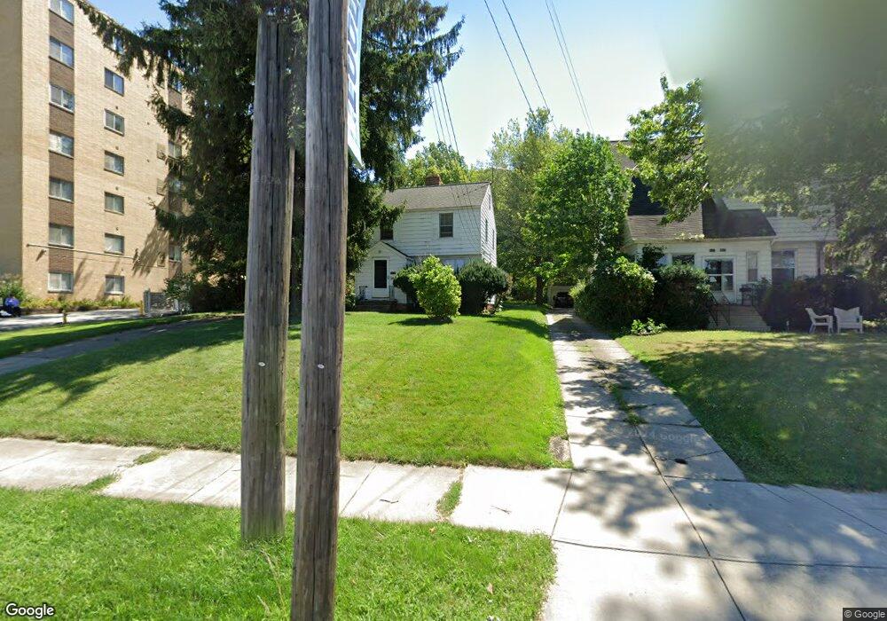
22136 Euclid Ave Euclid, OH 44117
Estimated Value: $110,000 - $163,000
3
Beds
1
Bath
1,050
Sq Ft
$124/Sq Ft
Est. Value
About This Home
This home is located at 22136 Euclid Ave, Euclid, OH 44117 and is currently estimated at $129,797, approximately $123 per square foot. 22136 Euclid Ave is a home located in Cuyahoga County with nearby schools including Thomas Jefferson Elementary School, Euclid Middle School, and Euclid High School.
Ownership History
Date
Name
Owned For
Owner Type
Purchase Details
Closed on
Sep 16, 2005
Sold by
Norton Michael F
Bought by
Norton Michael F and Norton Myong Suk
Current Estimated Value
Home Financials for this Owner
Home Financials are based on the most recent Mortgage that was taken out on this home.
Original Mortgage
$80,000
Outstanding Balance
$43,230
Interest Rate
6.01%
Mortgage Type
Fannie Mae Freddie Mac
Estimated Equity
$86,567
Purchase Details
Closed on
Sep 5, 1990
Sold by
Norton Robert F
Bought by
Norton Robert F
Purchase Details
Closed on
Feb 25, 1987
Sold by
Owen Richard S
Bought by
Norton Robert F
Purchase Details
Closed on
Dec 7, 1979
Sold by
Lowell Lingo
Bought by
Owen Richard S
Purchase Details
Closed on
Nov 23, 1979
Sold by
Lingo Agnes R
Bought by
Lowell Lingo
Purchase Details
Closed on
Jan 1, 1975
Bought by
Lingo Agnes R
Create a Home Valuation Report for This Property
The Home Valuation Report is an in-depth analysis detailing your home's value as well as a comparison with similar homes in the area
Home Values in the Area
Average Home Value in this Area
Purchase History
| Date | Buyer | Sale Price | Title Company |
|---|---|---|---|
| Norton Michael F | -- | Emerald Glen | |
| Norton Michael F | -- | Emerald Glen | |
| Norton Robert F | -- | -- | |
| Norton Robert F | $63,400 | -- | |
| Owen Richard S | $42,000 | -- | |
| Lowell Lingo | -- | -- | |
| Lingo Agnes R | -- | -- |
Source: Public Records
Mortgage History
| Date | Status | Borrower | Loan Amount |
|---|---|---|---|
| Open | Norton Michael F | $80,000 |
Source: Public Records
Tax History Compared to Growth
Tax History
| Year | Tax Paid | Tax Assessment Tax Assessment Total Assessment is a certain percentage of the fair market value that is determined by local assessors to be the total taxable value of land and additions on the property. | Land | Improvement |
|---|---|---|---|---|
| 2024 | $2,388 | $34,160 | $7,210 | $26,950 |
| 2023 | $2,170 | $24,680 | $6,230 | $18,450 |
| 2022 | $2,121 | $24,680 | $6,230 | $18,450 |
| 2021 | $2,355 | $24,680 | $6,230 | $18,450 |
| 2020 | $1,984 | $18,690 | $4,730 | $13,970 |
| 2019 | $1,780 | $53,400 | $13,500 | $39,900 |
| 2018 | $1,736 | $18,690 | $4,730 | $13,970 |
| 2017 | $1,811 | $15,720 | $3,890 | $11,830 |
| 2016 | $1,815 | $15,720 | $3,890 | $11,830 |
| 2015 | $1,928 | $15,720 | $3,890 | $11,830 |
| 2014 | $1,928 | $18,490 | $4,590 | $13,900 |
Source: Public Records
Map
Nearby Homes
- 1554 E 221st St
- 21950 Euclid Ave
- 1545 E 214th St
- 22261 Chardon Rd
- 1775 E 228th St
- 23795 Greenwood Rd
- 1696 E 236th St
- 23751 Glenbrook Blvd
- 1774 E 236th St
- 2075 E 226th St
- 1556 Dille Rd
- 1765 E 238th St
- 1860 Glenridge Rd
- 24105 Chardon Rd
- 19613 Shelton Dr
- 19520 Shelton Dr
- 22601 Harms Rd
- 2093 Newcome St
- 1721 Grand Blvd
- 1620 E 243rd St
- 21970 Euclid Ave
- 22140 Euclid Ave
- 21900 Euclid Ave
- 22021 Euclid Ave
- 22091 Euclid Ave
- 21877 Euclid Ave
- 1580 E 221st St
- 1571 E 219th St
- 1574 E 221st St
- 22230 Euclid Ave
- 22230 Euclid Ave Unit 509
- 1565 E 219th St
- 1560 E 221st St
- 1559 E 219th St
- 1575 E 221st St
- 1574 E 219th St
- 1551 E 219th St
- 22250 Euclid Ave
- 1571 E 221st St
- 1570 E 219th St